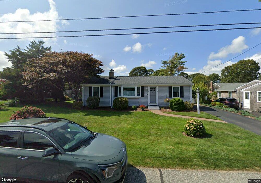
65 Cornell Dr Dennis Port, MA 02639
Dennis Port NeighborhoodEstimated Value: $579,000 - $703,000
3
Beds
2
Baths
1,370
Sq Ft
$482/Sq Ft
Est. Value
About This Home
This home is located at 65 Cornell Dr, Dennis Port, MA 02639 and is currently estimated at $660,851, approximately $482 per square foot. 65 Cornell Dr is a home located in Barnstable County with nearby schools including Dennis-Yarmouth Regional High School and St. Pius X. School.
Ownership History
Date
Name
Owned For
Owner Type
Purchase Details
Closed on
Jan 28, 2016
Sold by
Colonna Vito J and Colonna Darlene A
Bought by
Colonna Ft
Current Estimated Value
Purchase Details
Closed on
Feb 14, 1992
Sold by
Adams Steven C and Adams Clyde
Bought by
Colonna Vito J and Colona Darlene A
Create a Home Valuation Report for This Property
The Home Valuation Report is an in-depth analysis detailing your home's value as well as a comparison with similar homes in the area
Home Values in the Area
Average Home Value in this Area
Purchase History
| Date | Buyer | Sale Price | Title Company |
|---|---|---|---|
| Colonna Ft | -- | -- | |
| Colonna Vito J | $112,500 | -- |
Source: Public Records
Tax History Compared to Growth
Tax History
| Year | Tax Paid | Tax Assessment Tax Assessment Total Assessment is a certain percentage of the fair market value that is determined by local assessors to be the total taxable value of land and additions on the property. | Land | Improvement |
|---|---|---|---|---|
| 2025 | $2,514 | $580,600 | $202,200 | $378,400 |
| 2024 | $2,386 | $543,600 | $194,500 | $349,100 |
| 2023 | $2,328 | $498,400 | $176,800 | $321,600 |
| 2022 | $2,226 | $397,500 | $159,300 | $238,200 |
| 2021 | $2,281 | $378,200 | $178,400 | $199,800 |
| 2020 | $2,060 | $337,700 | $156,100 | $181,600 |
| 2019 | $1,956 | $317,000 | $153,100 | $163,900 |
| 2018 | $1,881 | $296,700 | $145,700 | $151,000 |
| 2017 | $1,712 | $278,300 | $135,300 | $143,000 |
| 2016 | $1,721 | $263,600 | $145,700 | $117,900 |
| 2015 | $1,687 | $263,600 | $145,700 | $117,900 |
| 2014 | $1,483 | $233,600 | $124,900 | $108,700 |
Source: Public Records
Map
Nearby Homes
- 80 Michaels Ave
- 19 Standish Way
- 31 Easy St
- 22 Wixon Rd
- 37 Ocean Dr Unit 2
- 4 Coffey Ln
- 71 Main St
- 12 Spoonbill Rd
- 125 Main St Unit 3
- 64 Beaten Rd
- 72 Bassett Ln
- 15 Woodside Park Rd
- 112 Old Wharf Rd Unit E4
- 112 Old Wharf Rd Unit E1
- 154 Old Wharf Rd Unit 26
- 154 Old Wharf Rd Unit 14
- 268 Main St
- 120 Old Wharf Rd Unit 11
- 61 Trotters Ln
- 113 Old Wharf Rd Unit 7
- 69 Cornell Dr
- 61 Cornell Dr
- 70 Polly Fisk Ln
- 76 Polly Fisk Ln
- 64 Polly Fisk Ln
- 73 Cornell Dr
- 57 Cornell Dr
- 62 Cornell Dr
- 66 Cornell Dr
- 58 Cornell Dr
- 67 Polly Fisk Ln
- 70 Cornell Dr
- 73 Polly Fisk Ln
- 54 Cornell Dr
- 77 Cornell Dr
- 55 Cornell Dr
- 61 Polly Fisk Ln
- 56 Polly Fisk Ln
- 82 Polly Fisk Ln
- 82 Polly Fisk Ln Unit 22