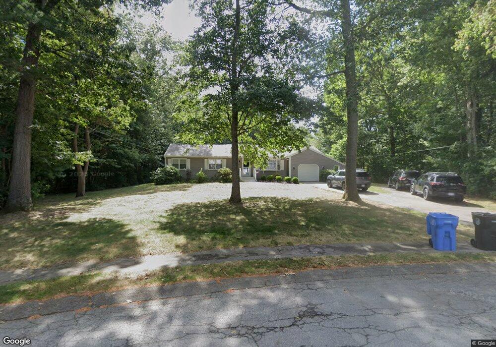
65 Cranberry Rd Whitman, MA 02382
Estimated Value: $592,000 - $655,000
3
Beds
2
Baths
1,528
Sq Ft
$408/Sq Ft
Est. Value
About This Home
This home is located at 65 Cranberry Rd, Whitman, MA 02382 and is currently estimated at $623,155, approximately $407 per square foot. 65 Cranberry Rd is a home located in Plymouth County with nearby schools including St Bridget School.
Ownership History
Date
Name
Owned For
Owner Type
Purchase Details
Closed on
Aug 25, 1997
Sold by
Ruoff Dana L and Ruoff Joan H
Bought by
Gill Philip F and Gill Patricia A
Current Estimated Value
Home Financials for this Owner
Home Financials are based on the most recent Mortgage that was taken out on this home.
Original Mortgage
$144,000
Interest Rate
7.42%
Mortgage Type
Purchase Money Mortgage
Create a Home Valuation Report for This Property
The Home Valuation Report is an in-depth analysis detailing your home's value as well as a comparison with similar homes in the area
Home Values in the Area
Average Home Value in this Area
Purchase History
| Date | Buyer | Sale Price | Title Company |
|---|---|---|---|
| Gill Philip F | $169,000 | -- |
Source: Public Records
Mortgage History
| Date | Status | Borrower | Loan Amount |
|---|---|---|---|
| Open | Gill Philip F | $196,500 | |
| Closed | Gill Philip F | $45,000 | |
| Closed | Gill Philip F | $144,000 | |
| Previous Owner | Gill Philip F | $65,000 |
Source: Public Records
Tax History Compared to Growth
Tax History
| Year | Tax Paid | Tax Assessment Tax Assessment Total Assessment is a certain percentage of the fair market value that is determined by local assessors to be the total taxable value of land and additions on the property. | Land | Improvement |
|---|---|---|---|---|
| 2025 | $6,955 | $530,100 | $252,000 | $278,100 |
| 2024 | $6,491 | $509,500 | $243,900 | $265,600 |
| 2023 | $6,435 | $474,200 | $222,600 | $251,600 |
| 2022 | $6,284 | $431,600 | $202,300 | $229,300 |
| 2021 | $6,081 | $392,300 | $178,700 | $213,600 |
| 2020 | $5,880 | $371,000 | $169,700 | $201,300 |
| 2019 | $5,489 | $356,900 | $169,700 | $187,200 |
| 2018 | $5,354 | $334,400 | $161,800 | $172,600 |
| 2017 | $5,043 | $334,400 | $161,800 | $172,600 |
| 2016 | $4,848 | $311,000 | $156,200 | $154,800 |
| 2015 | $4,767 | $305,400 | $150,600 | $154,800 |
Source: Public Records
Map
Nearby Homes
- 679 Plymouth St
- 608 Plymouth St
- 137 Peregrine Rd
- 170 Pleasant St
- 40 Lazel St
- 23 Reed Place
- 684 South Ave
- 63 Dewey Ave
- 110 South Ave Unit 14
- 14 Daniel Teague Dr
- 87 Summer St
- 55 Plymouth St Unit A5
- 54-56 Stetson St
- 48 Day St
- 35 Dana St
- 20 Elm Place
- 214 Winter St
- 131 Holly Ridge Dr
- 53 Temple St
- 1098 Bedford St
- 53 Cranberry Rd
- 75 Cranberry Rd
- 691 Plymouth St
- 50 Cranberry Rd
- 41 Cranberry Rd
- 83 Cranberry Rd
- 80 Cranberry Rd
- 44 Cranberry Rd
- 693 Plymouth St
- 709 Plymouth St
- 687 Plymouth St
- 723 Plymouth St
- 91 Cranberry Rd
- 34 Cranberry Rd
- 735 Plymouth St
- 92 Cranberry Rd
- 33 Blueberry Path
- 667 Plymouth St
- 661 Plymouth St
- 21 Cranberry Rd