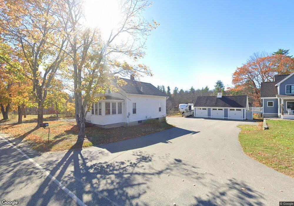
65 Day Rd Lyman, ME 04002
Lyman NeighborhoodEstimated Value: $492,452 - $700,000
3
Beds
1
Bath
990
Sq Ft
$571/Sq Ft
Est. Value
About This Home
This home is located at 65 Day Rd, Lyman, ME 04002 and is currently estimated at $565,113, approximately $570 per square foot. 65 Day Rd is a home with nearby schools including Massabesic High School.
Ownership History
Date
Name
Owned For
Owner Type
Purchase Details
Closed on
Apr 4, 2025
Sold by
Littlefield Alanna J and Littlefield Tomas S
Bought by
Littlefield Tomas S and Littlefield Alanna J
Current Estimated Value
Home Financials for this Owner
Home Financials are based on the most recent Mortgage that was taken out on this home.
Original Mortgage
$270,000
Outstanding Balance
$267,309
Interest Rate
6.63%
Mortgage Type
Second Mortgage Made To Cover Down Payment
Estimated Equity
$297,804
Purchase Details
Closed on
Dec 11, 2006
Sold by
Littlefield Leland E
Bought by
Pennanen Barbara J
Purchase Details
Closed on
Oct 11, 2006
Sold by
Littlefield Leland E
Bought by
Littlefield Joan E and Littlefield Leland E
Create a Home Valuation Report for This Property
The Home Valuation Report is an in-depth analysis detailing your home's value as well as a comparison with similar homes in the area
Home Values in the Area
Average Home Value in this Area
Purchase History
| Date | Buyer | Sale Price | Title Company |
|---|---|---|---|
| Littlefield Tomas S | -- | None Available | |
| Littlefield Tomas S | -- | None Available | |
| Littlefield Tomas S | -- | None Available | |
| Pennanen Barbara J | -- | -- | |
| Pennanen Barbara J | -- | -- | |
| Littlefield Joan E | -- | -- | |
| Littlefield Joan E | -- | -- |
Source: Public Records
Mortgage History
| Date | Status | Borrower | Loan Amount |
|---|---|---|---|
| Open | Littlefield Tomas S | $270,000 | |
| Closed | Littlefield Tomas S | $270,000 |
Source: Public Records
Tax History
| Year | Tax Paid | Tax Assessment Tax Assessment Total Assessment is a certain percentage of the fair market value that is determined by local assessors to be the total taxable value of land and additions on the property. | Land | Improvement |
|---|---|---|---|---|
| 2025 | $6,579 | $473,000 | $77,000 | $396,000 |
| 2024 | $5,965 | $473,000 | $77,000 | $396,000 |
| 2023 | $5,766 | $473,000 | $77,000 | $396,000 |
| 2022 | $5,534 | $473,000 | $77,000 | $396,000 |
| 2021 | $5,430 | $473,000 | $77,000 | $396,000 |
| 2020 | $4,827 | $449,000 | $78,000 | $371,000 |
| 2019 | $4,701 | $449,000 | $78,000 | $371,000 |
| 2018 | $2,045 | $169,000 | $65,000 | $104,000 |
| 2017 | $1,942 | $155,500 | $60,200 | $95,300 |
| 2015 | $1,928 | $155,500 | $60,200 | $95,300 |
| 2014 | $1,889 | $155,500 | $60,200 | $95,300 |
Source: Public Records
Map
Nearby Homes
- 19 Day Rd
- 128 Day Rd
- 149 Duke Ln
- 23 Old Post Rd
- Lot# 0 Alewive Rd
- 2 New Rd
- 63 Poor Farm Rd
- 248 Huff Rd
- Lot 3 Kennebunk Rd
- 79 Country Way
- Lot 00B Knight Farm Rd
- Lot 00E Knight Farm Rd
- Lot 00A Knight Farm Rd
- 682 S Waterboro Rd
- 062-2 S Waterboro Rd
- 65 Old County Rd
- 3 Gerald Ln
- 87 Drown Rd
- 333 Williams Rd
- TBD Kennebunk Rd
- 78 Day Rd
- 49 Day Rd
- 46 Day Rd
- 40 Day Rd
- 87 Day Rd
- 40 Elizabeth Ln
- 0 Elizabeth Ln Unit 872322
- 0 Elizabeth Ln Unit 832040
- 0 Elizabeth Ln Unit 704088
- 0 Elizabeth Ln Unit 1079722
- 0 Elizabeth Ln Unit 1049964
- 0 Elizabeth Ln Unit 1075413
- 26 Day Rd
- 30 Spang Lumber Ln
- 32 Elizabeth Ln
- 1726 Alfred Rd
- 114 Day Rd
- 13 Day Rd
- 119 Day Rd
- 119 Day Rd
Your Personal Tour Guide
Ask me questions while you tour the home.