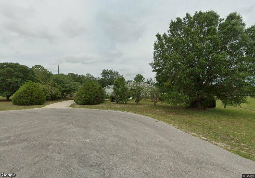
65 E Dusty Ct Hernando, FL 34442
Estimated Value: $441,000 - $601,000
3
Beds
2
Baths
2,576
Sq Ft
$201/Sq Ft
Est. Value
About This Home
This home is located at 65 E Dusty Ct, Hernando, FL 34442 and is currently estimated at $518,425, approximately $201 per square foot. 65 E Dusty Ct is a home located in Citrus County with nearby schools including Forest Ridge Elementary School, Citrus Springs Middle School, and Lecanto High School.
Ownership History
Date
Name
Owned For
Owner Type
Purchase Details
Closed on
Oct 15, 2004
Sold by
Sanchez Alfredo J and Sanchez Grisilda D
Bought by
Sanchez Alfredo J and Sanchez Grisilda D
Current Estimated Value
Purchase Details
Closed on
Feb 1, 1994
Bought by
Sanchez Alfredo J & Grisilda Trustees
Purchase Details
Closed on
Dec 1, 1992
Bought by
Sanchez Alfredo J & Grisilda Trustees
Purchase Details
Closed on
May 1, 1991
Bought by
Sanchez Alfredo J & Grisilda Trustees
Purchase Details
Closed on
Dec 1, 1988
Bought by
Sanchez Alfredo J & Grisilda Trustees
Purchase Details
Closed on
Jul 1, 1984
Bought by
Sanchez Alfredo J & Grisilda Trustees
Create a Home Valuation Report for This Property
The Home Valuation Report is an in-depth analysis detailing your home's value as well as a comparison with similar homes in the area
Home Values in the Area
Average Home Value in this Area
Purchase History
| Date | Buyer | Sale Price | Title Company |
|---|---|---|---|
| Sanchez Alfredo J | -- | -- | |
| Sanchez Alfredo J & Grisilda Trustees | $100 | -- | |
| Sanchez Alfredo J & Grisilda Trustees | $34,200 | -- | |
| Sanchez Alfredo J & Grisilda Trustees | $675,000 | -- | |
| Sanchez Alfredo J & Grisilda Trustees | $100 | -- | |
| Sanchez Alfredo J & Grisilda Trustees | $320,000 | -- |
Source: Public Records
Tax History
| Year | Tax Paid | Tax Assessment Tax Assessment Total Assessment is a certain percentage of the fair market value that is determined by local assessors to be the total taxable value of land and additions on the property. | Land | Improvement |
|---|---|---|---|---|
| 2025 | $5,611 | $379,407 | $55,000 | $324,407 |
| 2024 | $5,251 | $399,651 | $47,500 | $352,151 |
| 2023 | $5,251 | $313,302 | $0 | $0 |
| 2022 | $4,509 | $319,970 | $29,500 | $290,470 |
| 2021 | $3,908 | $260,516 | $23,000 | $237,516 |
| 2020 | $3,526 | $235,614 | $23,000 | $212,614 |
| 2019 | $3,310 | $222,354 | $25,930 | $196,424 |
| 2018 | $3,053 | $200,923 | $25,930 | $174,993 |
| 2017 | $2,807 | $176,850 | $25,930 | $150,920 |
| 2016 | $3,004 | $182,743 | $25,930 | $156,813 |
| 2015 | $2,798 | $165,581 | $25,930 | $139,651 |
| 2014 | $3,033 | $173,790 | $27,523 | $146,267 |
Source: Public Records
Map
Nearby Homes
- 74 E Dusty Ct
- 2924 N Anthony Ave
- 70 W Sugarmaple Ln
- 65 E Boston St
- 105 E Samuel Ct
- 183 E Boston St
- 2257 N Hickory Glen Point
- 204 W Sugarmaple Ln
- 2334 N Alachua Point
- 2364 N Heritage Oaks Path
- 2347 N Putnam Point
- 50 W Glen Arbor Ln
- 230 E Boston St
- 3076 N Clements Ave
- 494 W Cobblestone Loop
- 2293 N Heritage Oaks Path
- 570 E Bismark St
- 3002 N Clements Ave
- 2988 N Anthony Ave
- 3034 N Clements Ave
- 66 E Samuel Ct
- 103 E Dusty Ct
- 90 Dusty
- 2583 N Leesburg Ave
- 2695 N Leesburg Ave
- 134 E Dusty Ct
- 136 E Samuel Ct
- 93 E Samuel Ct
- 0 Samuel and Anthony
- 0 E Norvell Bryant Hwy
- 164 E Samuel Ct
- 2656 N Leesburg Ave
- 2889 N Leesburg Ave
- 162 E Dusty Ct
- 2791 N Leesburg Ave
- 196 E Dusty Ct
- 54 E Tara Ct
- 198 E Samuel Ct
- 94 E Tara Ct
Your Personal Tour Guide
Ask me questions while you tour the home.