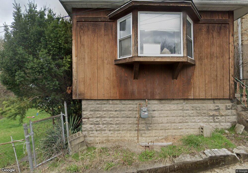
65 E St Mc Kees Rocks, PA 15136
Stowe Township NeighborhoodEstimated Value: $15,076 - $102,000
3
Beds
2
Baths
1,770
Sq Ft
$41/Sq Ft
Est. Value
About This Home
This home is located at 65 E St, Mc Kees Rocks, PA 15136 and is currently estimated at $73,269, approximately $41 per square foot. 65 E St is a home located in Allegheny County with nearby schools including Sto-Rox Upper Elementary School, Sto-Rox Primary Center, and Sto-Rox Junior/Senior High School.
Ownership History
Date
Name
Owned For
Owner Type
Purchase Details
Closed on
Dec 13, 2018
Sold by
Yaweh Properties Llc
Bought by
Ajdj Rentals Llc
Current Estimated Value
Purchase Details
Closed on
Jan 22, 2010
Sold by
Abatta Janet and Abatta Samuel J
Bought by
Yaweh Properties L L C
Purchase Details
Closed on
Apr 10, 1999
Sold by
Sicilia Frank P and Sicilia Adeline C
Bought by
The Frank P & Adeline C Sicilia Revocabl
Purchase Details
Closed on
Jan 1, 1900
Create a Home Valuation Report for This Property
The Home Valuation Report is an in-depth analysis detailing your home's value as well as a comparison with similar homes in the area
Home Values in the Area
Average Home Value in this Area
Purchase History
| Date | Buyer | Sale Price | Title Company |
|---|---|---|---|
| Ajdj Rentals Llc | $10,662 | Settlements Ltd | |
| Yaweh Properties L L C | $15,000 | -- | |
| The Frank P & Adeline C Sicilia Revocabl | -- | -- | |
| -- | -- | -- |
Source: Public Records
Tax History Compared to Growth
Tax History
| Year | Tax Paid | Tax Assessment Tax Assessment Total Assessment is a certain percentage of the fair market value that is determined by local assessors to be the total taxable value of land and additions on the property. | Land | Improvement |
|---|---|---|---|---|
| 2025 | $834 | $19,300 | $8,300 | $11,000 |
| 2024 | $802 | $19,300 | $8,300 | $11,000 |
| 2023 | $802 | $19,300 | $8,300 | $11,000 |
| 2022 | $776 | $19,300 | $8,300 | $11,000 |
| 2021 | $91 | $19,300 | $8,300 | $11,000 |
| 2020 | $758 | $19,300 | $8,300 | $11,000 |
| 2019 | $758 | $19,300 | $8,300 | $11,000 |
| 2018 | $91 | $19,300 | $8,300 | $11,000 |
| 2017 | $741 | $19,300 | $8,300 | $11,000 |
| 2016 | $91 | $19,300 | $8,300 | $11,000 |
| 2015 | $91 | $19,300 | $8,300 | $11,000 |
| 2014 | $741 | $19,300 | $8,300 | $11,000 |
Source: Public Records
Map
Nearby Homes
- 82 Harlem Ave
- 837 Benwood Ave
- 813 8th St
- 125 Frazier Ave
- 810 Woodward Ave
- 45 Harlem Ave
- 19 Shaw Ave
- 815 10th St
- 813 10th St
- 802 10th St
- 22 Harlem Ave
- 810 10th St
- 124 Pleasant Ridge Rd
- 705 Broadway Ave
- 815 Broadway Ave
- 634 Broadway Ave
- 620 Broadway Ave
- 713 Russellwood Ave
- 705 Russellwood Ave
- 908 Russellwood Ave