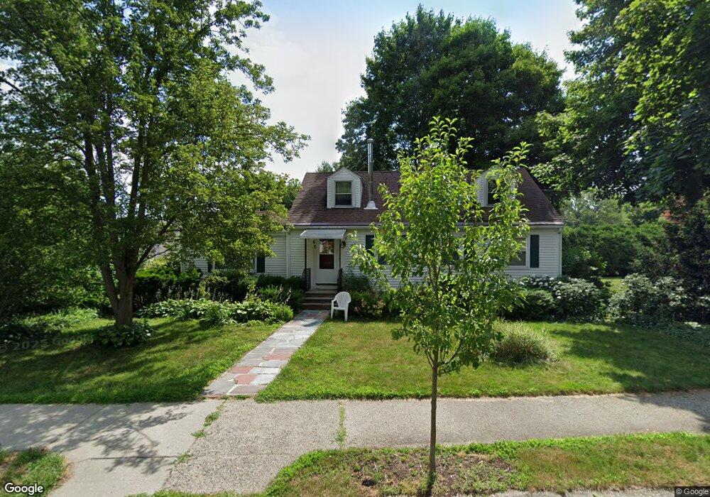
65 Elinor Rd Newton Highlands, MA 02461
Newton Highlands NeighborhoodEstimated Value: $1,121,000 - $1,240,000
4
Beds
2
Baths
1,456
Sq Ft
$811/Sq Ft
Est. Value
About This Home
This home is located at 65 Elinor Rd, Newton Highlands, MA 02461 and is currently estimated at $1,180,763, approximately $810 per square foot. 65 Elinor Rd is a home located in Middlesex County with nearby schools including Countryside Elementary School, Charles E Brown Middle School, and Newton South High School.
Ownership History
Date
Name
Owned For
Owner Type
Purchase Details
Closed on
Sep 2, 2009
Sold by
Oconnor Maurice F and Oconnor Linda B
Bought by
Linda B Oconnor Ret and Oconnor Linda B
Current Estimated Value
Create a Home Valuation Report for This Property
The Home Valuation Report is an in-depth analysis detailing your home's value as well as a comparison with similar homes in the area
Home Values in the Area
Average Home Value in this Area
Purchase History
| Date | Buyer | Sale Price | Title Company |
|---|---|---|---|
| Linda B Oconnor Ret | -- | -- |
Source: Public Records
Tax History Compared to Growth
Tax History
| Year | Tax Paid | Tax Assessment Tax Assessment Total Assessment is a certain percentage of the fair market value that is determined by local assessors to be the total taxable value of land and additions on the property. | Land | Improvement |
|---|---|---|---|---|
| 2025 | $8,734 | $891,200 | $0 | $0 |
| 2024 | $8,444 | $0 | $0 | $0 |
| 2023 | $7,999 | $785,800 | $708,900 | $76,900 |
| 2022 | $7,654 | $727,600 | $656,400 | $71,200 |
| 2021 | $7,386 | $686,400 | $619,200 | $67,200 |
| 2020 | $7,166 | $686,400 | $619,200 | $67,200 |
| 2019 | $6,964 | $666,400 | $601,200 | $65,200 |
| 2018 | $6,635 | $613,200 | $545,900 | $67,300 |
| 2017 | $6,433 | $578,500 | $515,000 | $63,500 |
| 2016 | $6,153 | $540,700 | $481,300 | $59,400 |
| 2015 | $5,867 | $505,300 | $449,800 | $55,500 |
Source: Public Records
Map
Nearby Homes
- 250 Woodcliff Rd
- 19 Selwyn Rd
- 36 Cannon St
- 125 Oakdale Rd
- 1308 Walnut St
- 1292 Walnut St
- 671 Boylston St
- 628 Boylston St
- 21 Philbrick Rd
- 45 Brandeis Rd
- 35 Haynes Rd
- 625 Boylston St
- 42 Sunhill Ln
- 116 Upland Ave
- 15 Buff Cir
- 1629 Centre St
- 1623-1625 Centre St
- 1597 Centre St Unit 1597
- 1597 Centre St
- 5 Halcyon Rd