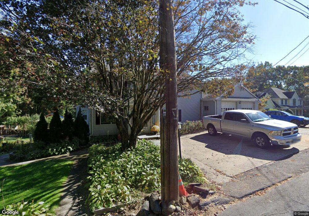
65 Finch Rd Wolcott, CT 06716
Estimated Value: $457,000 - $632,127
5
Beds
4
Baths
2,956
Sq Ft
$184/Sq Ft
Est. Value
About This Home
This home is located at 65 Finch Rd, Wolcott, CT 06716 and is currently estimated at $543,532, approximately $183 per square foot. 65 Finch Rd is a home located in New Haven County with nearby schools including Tyrrell Middle School, Wolcott High School, and St Peter & Paul School.
Ownership History
Date
Name
Owned For
Owner Type
Purchase Details
Closed on
May 7, 2012
Sold by
Markie Michele M and Markie John A
Bought by
Markie Michele M and Markie John A
Current Estimated Value
Home Financials for this Owner
Home Financials are based on the most recent Mortgage that was taken out on this home.
Original Mortgage
$276,600
Outstanding Balance
$118,046
Interest Rate
4.08%
Estimated Equity
$425,486
Purchase Details
Closed on
Jun 14, 1993
Sold by
Giroux Robert J and Giroux Cathy R
Bought by
Markie John A and Markie Michelle M
Create a Home Valuation Report for This Property
The Home Valuation Report is an in-depth analysis detailing your home's value as well as a comparison with similar homes in the area
Home Values in the Area
Average Home Value in this Area
Purchase History
| Date | Buyer | Sale Price | Title Company |
|---|---|---|---|
| Markie Michele M | -- | -- | |
| Markie John A | $139,500 | -- |
Source: Public Records
Mortgage History
| Date | Status | Borrower | Loan Amount |
|---|---|---|---|
| Open | Markie John A | $276,600 | |
| Previous Owner | Markie John A | $281,084 |
Source: Public Records
Tax History Compared to Growth
Tax History
| Year | Tax Paid | Tax Assessment Tax Assessment Total Assessment is a certain percentage of the fair market value that is determined by local assessors to be the total taxable value of land and additions on the property. | Land | Improvement |
|---|---|---|---|---|
| 2025 | $9,394 | $261,450 | $56,290 | $205,160 |
| 2024 | $8,646 | $261,450 | $56,290 | $205,160 |
| 2023 | $8,332 | $261,450 | $56,290 | $205,160 |
| 2022 | $8,053 | $261,450 | $56,290 | $205,160 |
| 2021 | $7,926 | $239,180 | $53,630 | $185,550 |
| 2020 | $7,926 | $239,180 | $53,630 | $185,550 |
| 2019 | $7,926 | $239,180 | $53,630 | $185,550 |
| 2018 | $7,702 | $239,180 | $53,630 | $185,550 |
| 2017 | $7,479 | $239,180 | $53,630 | $185,550 |
| 2016 | $7,180 | $248,340 | $57,400 | $190,940 |
| 2015 | $6,973 | $248,340 | $57,400 | $190,940 |
| 2014 | $6,747 | $248,340 | $57,400 | $190,940 |
Source: Public Records
Map
Nearby Homes
- 47 Finch Rd
- 3 Pimlico Rd
- 7 Pimlico Rd
- 44 Knollwood Dr
- 186 Windy Dr
- 0 Arvida Rd Unit 24054898
- 322 Beth Ln
- 286 Beth Ln Unit 16
- 59 Forest Ln
- 24 Sharon Rd Unit 3
- 36 Sharon Rd Unit 9
- 0 Woodtick Rd Unit 24119429
- 20 Blue Trail Dr
- 11 Batesmoor Rd
- 9 Bouffard Ave
- 283 Courtland Ave
- 48 Cheryl Jane Dr
- 22 Irene Ave
- 106 Wakelee Rd Unit 13
- 8 Constitution Dr