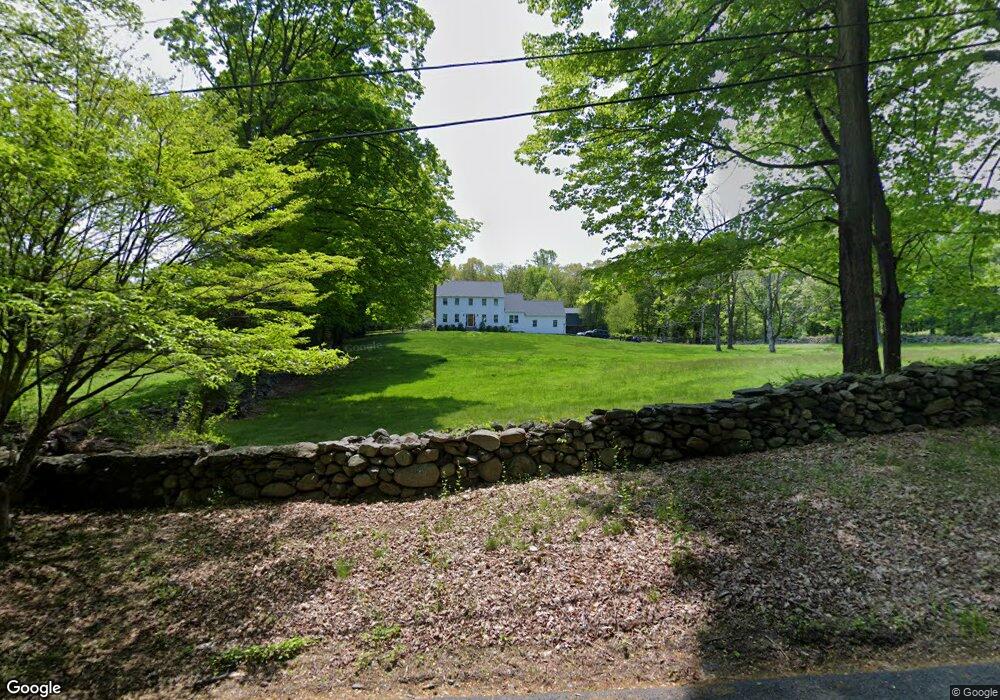
65 Freeborn Rd Easton, CT 06612
Estimated Value: $1,064,181 - $1,368,000
4
Beds
3
Baths
2,858
Sq Ft
$430/Sq Ft
Est. Value
About This Home
This home is located at 65 Freeborn Rd, Easton, CT 06612 and is currently estimated at $1,228,545, approximately $429 per square foot. 65 Freeborn Rd is a home located in Fairfield County with nearby schools including Samuel Staples Elementary School, Helen Keller Middle School, and Joel Barlow High School.
Ownership History
Date
Name
Owned For
Owner Type
Purchase Details
Closed on
Apr 27, 2004
Sold by
Corwin Nicholas H and Corwin Jane B
Bought by
Dimango Domenick and Dimango Geralyn
Current Estimated Value
Home Financials for this Owner
Home Financials are based on the most recent Mortgage that was taken out on this home.
Original Mortgage
$525,000
Outstanding Balance
$138,514
Interest Rate
4.2%
Estimated Equity
$1,090,031
Create a Home Valuation Report for This Property
The Home Valuation Report is an in-depth analysis detailing your home's value as well as a comparison with similar homes in the area
Home Values in the Area
Average Home Value in this Area
Purchase History
| Date | Buyer | Sale Price | Title Company |
|---|---|---|---|
| Dimango Domenick | $975,000 | -- | |
| Dimango Domenick | $975,000 | -- |
Source: Public Records
Mortgage History
| Date | Status | Borrower | Loan Amount |
|---|---|---|---|
| Open | Dimango Domenick | $250,000 | |
| Open | Dimango Domenick | $525,000 | |
| Closed | Dimango Domenick | $525,000 |
Source: Public Records
Tax History Compared to Growth
Tax History
| Year | Tax Paid | Tax Assessment Tax Assessment Total Assessment is a certain percentage of the fair market value that is determined by local assessors to be the total taxable value of land and additions on the property. | Land | Improvement |
|---|---|---|---|---|
| 2025 | $16,112 | $519,750 | $226,660 | $293,090 |
| 2024 | $15,353 | $519,750 | $226,660 | $293,090 |
| 2023 | $15,052 | $519,750 | $226,660 | $293,090 |
| 2022 | $14,782 | $519,750 | $226,660 | $293,090 |
| 2021 | $15,510 | $479,430 | $240,680 | $238,750 |
| 2020 | $14,862 | $479,430 | $240,680 | $238,750 |
| 2019 | $15,021 | $479,430 | $240,680 | $238,750 |
| 2018 | $15,045 | $479,430 | $240,680 | $238,750 |
| 2017 | $16,003 | $479,430 | $240,680 | $238,750 |
| 2016 | $16,671 | $541,080 | $313,590 | $227,490 |
| 2015 | $16,438 | $541,080 | $313,590 | $227,490 |
| 2014 | $16,178 | $541,080 | $313,590 | $227,490 |
Source: Public Records
Map
Nearby Homes
- 80 Norton Rd
- 100 Honeysuckle Hill Ln
- 8 Messex Ln
- 18 Wells Hill Rd
- 354 Black Rock Turnpike
- 29 Old Stage Coach Rd
- 64 Old Redding Rd
- 3 Mayflower Ln
- 90 Redding Rd
- 198 Steep Hill Rd
- 191 Steep Hill Rd
- 4 Colony Rd
- 85 Westport Rd
- 100 E Common Rd
- 5 Walker Ln
- 111 & 115 Old Easton Turnpike
- 262 Lyons Plain Rd
- 260 Lyons Plain Rd
- 85-95 Old Easton Turnpike
- 897 Sport Hill Rd
- 81 Freeborn Rd
- 74 Freeborn Rd
- 120 Norton Rd
- 130 Norton Rd
- 140 Norton Rd
- 94 Freeborn Rd
- 110 Norton Rd
- 145 Norton Rd
- 575 Black Rock Turnpike
- 125 Norton Rd
- 105 Norton Rd
- 90 Norton Rd
- 535 Black Rock Turnpike
- 91 Freeborn Rd
- 640 Black Rock Turnpike Unit 720
- 116 Wyldewood Rd
- 501 Black Rock Turnpike
- 130 Freeborn Rd
- 20 Elm Dr
- 12 Elm Dr