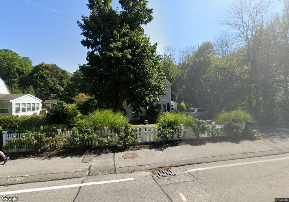
65 Gannett Rd Unit none Scituate, MA 02066
Estimated Value: $743,000 - $936,000
3
Beds
2
Baths
1,296
Sq Ft
$670/Sq Ft
Est. Value
About This Home
This home is located at 65 Gannett Rd Unit none, Scituate, MA 02066 and is currently estimated at $867,712, approximately $669 per square foot. 65 Gannett Rd Unit none is a home located in Plymouth County with nearby schools including Wampatuck Elementary School, Lester J. Gates Middle School, and Scituate High School.
Ownership History
Date
Name
Owned For
Owner Type
Purchase Details
Closed on
Jun 21, 2023
Sold by
Albert F Bouchie T F and Albert Bouchie
Bought by
Oconnell Peter R
Current Estimated Value
Home Financials for this Owner
Home Financials are based on the most recent Mortgage that was taken out on this home.
Original Mortgage
$654,400
Outstanding Balance
$635,365
Interest Rate
6.35%
Mortgage Type
Purchase Money Mortgage
Estimated Equity
$232,347
Purchase Details
Closed on
Aug 14, 2019
Sold by
Bouchie Barbara N
Bought by
Albert F Bouchie T
Purchase Details
Closed on
Mar 6, 2006
Sold by
Clinton Nina B
Bought by
Bouchie Barbara Nolan
Home Financials for this Owner
Home Financials are based on the most recent Mortgage that was taken out on this home.
Original Mortgage
$304,000
Interest Rate
6.16%
Mortgage Type
Purchase Money Mortgage
Create a Home Valuation Report for This Property
The Home Valuation Report is an in-depth analysis detailing your home's value as well as a comparison with similar homes in the area
Home Values in the Area
Average Home Value in this Area
Purchase History
| Date | Buyer | Sale Price | Title Company |
|---|---|---|---|
| Oconnell Peter R | $830,000 | None Available | |
| Albert F Bouchie T | -- | -- | |
| Bouchie Barbara Nolan | $380,000 | -- |
Source: Public Records
Mortgage History
| Date | Status | Borrower | Loan Amount |
|---|---|---|---|
| Open | Oconnell Peter R | $654,400 | |
| Previous Owner | Bouchie Barbara Nolan | $273,750 | |
| Previous Owner | Bouchie Barbara Nolan | $286,000 | |
| Previous Owner | Bouchie Barbara Nolan | $304,000 | |
| Previous Owner | Bouchie Barbara Nolan | $65,000 |
Source: Public Records
Tax History Compared to Growth
Tax History
| Year | Tax Paid | Tax Assessment Tax Assessment Total Assessment is a certain percentage of the fair market value that is determined by local assessors to be the total taxable value of land and additions on the property. | Land | Improvement |
|---|---|---|---|---|
| 2025 | $6,714 | $672,100 | $343,600 | $328,500 |
| 2024 | $6,509 | $628,300 | $312,300 | $316,000 |
| 2023 | $5,869 | $527,300 | $300,600 | $226,700 |
| 2022 | $5,974 | $473,400 | $282,900 | $190,500 |
| 2021 | $5,731 | $429,900 | $269,500 | $160,400 |
| 2020 | $5,563 | $412,100 | $259,100 | $153,000 |
| 2019 | $5,475 | $398,500 | $254,000 | $144,500 |
| 2018 | $5,360 | $384,200 | $255,900 | $128,300 |
| 2017 | $4,634 | $328,900 | $245,300 | $83,600 |
| 2016 | $4,300 | $304,100 | $223,900 | $80,200 |
| 2015 | $3,845 | $293,500 | $213,300 | $80,200 |
Source: Public Records
Map
Nearby Homes
- 29 Country Club Cir
- 27 Cherry Ln
- 10 Baileys Causeway
- 7 Border St
- 6 Tilden Ave
- 16 3 Ring Rd
- 24 Wood Island Rd
- 112 Hollett St
- 26 Mordecai Lincoln Rd
- 70 Black Horse Ln
- 68 Black Horse Ln
- 817 Country Way
- 392 S Main St
- 378 Tilden Rd
- 59 Captain Peirce Rd
- 100 Howard Gleason Rd
- 309 S Main St
- 98 Black Horse Ln
- 104 Howard Gleason Rd
- 2 Windward Ln