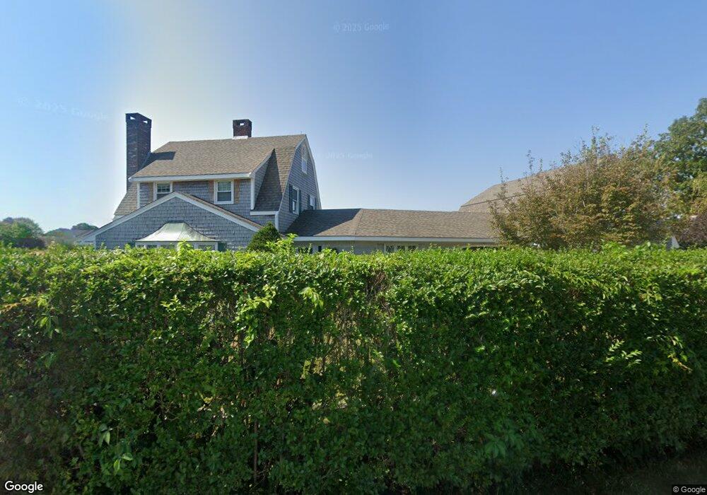
65 Gilder Rd Bourne, MA 2532
Estimated Value: $1,227,000 - $1,712,000
3
Beds
5
Baths
3,581
Sq Ft
$425/Sq Ft
Est. Value
About This Home
This home is located at 65 Gilder Rd, Bourne, MA 2532 and is currently estimated at $1,520,590, approximately $424 per square foot. 65 Gilder Rd is a home located in Barnstable County with nearby schools including Bourne High School, St Margaret Regional School, and Cadence Academy Preschool - Bourne.
Ownership History
Date
Name
Owned For
Owner Type
Purchase Details
Closed on
Mar 23, 2022
Sold by
Dwyer Daniel A and Dwyer Roberta A
Bought by
Dwyer Ret and Dwyer
Current Estimated Value
Purchase Details
Closed on
Oct 5, 2007
Sold by
Ethier Nancy L and Ethier Richard R
Bought by
Dwyer Daniel A and Dwyer Roberta A
Purchase Details
Closed on
Feb 8, 2005
Sold by
Scarbrough William R
Bought by
Ethier Nancy L and Ethier Richard R
Purchase Details
Closed on
Oct 15, 1997
Sold by
Currier Rt and Currier Sarah B
Bought by
Scarbrough William R and Patricia Finnegan M
Create a Home Valuation Report for This Property
The Home Valuation Report is an in-depth analysis detailing your home's value as well as a comparison with similar homes in the area
Purchase History
We collect this data history from publicly available records. To have your information removed, we recommend requesting removal directly through your county’s website.
| Date | Buyer | Sale Price | Title Company |
|---|---|---|---|
| Dwyer Ret | -- | None Available | |
| Dwyer Ret | -- | None Available | |
| Dwyer Daniel A | $1,303,500 | -- | |
| Dwyer Daniel A | $1,303,500 | -- | |
| Ethier Nancy L | $1,000,000 | -- | |
| Ethier Nancy L | $1,000,000 | -- | |
| Scarbrough William R | $435,000 | -- | |
| Scarbrough William R | $435,000 | -- |
Source: Public Records
Mortgage History
We collect this data history from publicly available records. To have your information removed, we recommend requesting removal directly through your county’s website.
| Date | Status | Borrower | Loan Amount |
|---|---|---|---|
| Previous Owner | Scarbrough William R | $836,500 | |
| Previous Owner | Scarbrough William R | $862,500 |
Source: Public Records
Tax History
| Year | Tax Paid | Tax Assessment Tax Assessment Total Assessment is a certain percentage of the fair market value that is determined by local assessors to be the total taxable value of land and additions on the property. | Land | Improvement |
|---|---|---|---|---|
| 2025 | $10,183 | $1,303,800 | $677,400 | $626,400 |
| 2024 | $9,958 | $1,241,600 | $645,100 | $596,500 |
| 2023 | $9,680 | $1,098,800 | $571,000 | $527,800 |
| 2022 | $9,325 | $924,200 | $505,300 | $418,900 |
| 2021 | $9,059 | $841,100 | $459,800 | $381,300 |
| 2020 | $9,077 | $845,200 | $455,500 | $389,700 |
| 2019 | $8,653 | $823,300 | $455,500 | $367,800 |
| 2018 | $8,264 | $784,100 | $433,800 | $350,300 |
| 2017 | $7,815 | $758,700 | $429,700 | $329,000 |
| 2016 | $7,637 | $751,700 | $429,700 | $322,000 |
| 2015 | $9,132 | $906,900 | $584,900 | $322,000 |
Source: Public Records
Map
Nearby Homes
- 4 Cross Rd
- 35 Benedict Rd
- 5 Bell Rd
- 151 - 153 Main St
- 34 Washington Ave
- 26 Wilson Ave
- 0 Holt Rd
- 46 Holt Rd Unit A
- 8 Pine Tree Dr
- 13 Harrison Ave
- 4 Van Bummel Rd
- 10 Harrison Ave Unit 2
- 10 Harrison Ave Unit 3
- 10 Harrison Ave Unit 4
- 10 Harrison Ave Unit 1
- 69 County Rd
- 56 Rip Van Winkle Way
- 17 Old Colony Ave
- 14 Old Colony Ave
- 13 Laurel Hill Ct Unit 13
Your Personal Tour Guide
Ask me questions while you tour the home.