65 Greenleaf Rd Westport Island, ME 04578
Estimated Value: $302,000 - $706,000
3
Beds
1
Bath
2,048
Sq Ft
$222/Sq Ft
Est. Value
About This Home
This home is located at 65 Greenleaf Rd, Westport Island, ME 04578 and is currently estimated at $454,058, approximately $221 per square foot. 65 Greenleaf Rd is a home located in Lincoln County.
Ownership History
Date
Name
Owned For
Owner Type
Purchase Details
Closed on
Mar 21, 2005
Sold by
Graves Laurel H and Hogg Ronald W
Bought by
Hopkins William R
Current Estimated Value
Home Financials for this Owner
Home Financials are based on the most recent Mortgage that was taken out on this home.
Original Mortgage
$136,000
Outstanding Balance
$33,049
Interest Rate
6%
Mortgage Type
Adjustable Rate Mortgage/ARM
Estimated Equity
$421,009
Create a Home Valuation Report for This Property
The Home Valuation Report is an in-depth analysis detailing your home's value as well as a comparison with similar homes in the area
Home Values in the Area
Average Home Value in this Area
Purchase History
| Date | Buyer | Sale Price | Title Company |
|---|---|---|---|
| Hopkins William R | -- | -- | |
| Hopkins William R | -- | -- | |
| Hopkins William R | -- | -- |
Source: Public Records
Mortgage History
| Date | Status | Borrower | Loan Amount |
|---|---|---|---|
| Open | Hopkins William R | $136,000 | |
| Closed | Hopkins William R | $136,000 |
Source: Public Records
Tax History Compared to Growth
Tax History
| Year | Tax Paid | Tax Assessment Tax Assessment Total Assessment is a certain percentage of the fair market value that is determined by local assessors to be the total taxable value of land and additions on the property. | Land | Improvement |
|---|---|---|---|---|
| 2024 | $1,564 | $211,304 | $48,894 | $162,410 |
| 2023 | $1,384 | $211,304 | $48,894 | $162,410 |
| 2022 | $1,438 | $173,200 | $40,077 | $133,123 |
| 2021 | $1,368 | $173,200 | $40,077 | $133,123 |
| 2020 | $1,403 | $173,200 | $40,077 | $133,123 |
| 2019 | $1,294 | $173,200 | $40,077 | $133,123 |
| 2018 | $1,143 | $173,200 | $40,077 | $133,123 |
| 2016 | $1,247 | $173,200 | $40,077 | $133,123 |
| 2014 | $1,593 | $212,178 | $0 | $0 |
| 2013 | $1,644 | $212,178 | $60,000 | $152,178 |
Source: Public Records
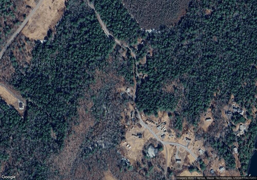
Map
Nearby Homes
- 30 Taylor Rd
- 15 Lewis Dr
- 27 Doggett Rd
- 17 Lester Rd
- 13 Porcupine Ln
- 19 Riverside Ave
- 2 Ready Point Rd
- 18 High Head Rd
- 50 Bunchberry Ln
- 34 Bunchberry Ln
- 44 Stone Point Ln
- 0 Maine 144
- 91 Lord Rd
- 712 Back River Rd
- 285 Birch Point Rd Unit 11
- 29 Mill Rd
- 14 Walker Rd
- 664 Boothbay Rd
- Lot 1 Sanders Rd
- 29 Wiscasset Rd
- 58 Greenleaf Rd
- 52 Greenleaf Rd
- 75 Greenleaf Rd
- 45 Greenleaf Rd
- 82 Greenleaf Rd
- 46 Greenleaf Rd
- 83 Greenleaf Rd
- 86 Greenleaf Rd
- 90 Greenleaf Rd
- 100 Greenleaf Rd
- 102 Greenleaf Rd
- 101 Greenleaf Rd
- 106 Greenleaf Rd
- 116 Greenleaf Rd
- 17 Mystik Way
- 33 Taylor Rd
- 119 Greenleaf Rd
- 23 Taylor Rd
- 33 & 30 Taylor Rd
- 22 Chickadee Ln