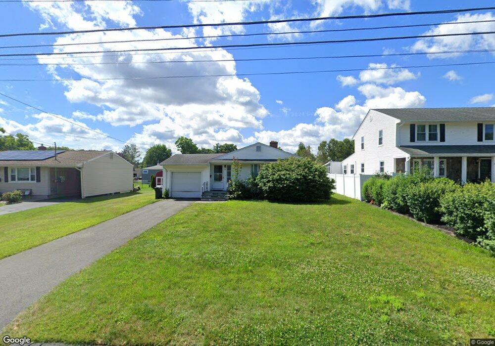
65 Harding St Wethersfield, CT 06109
Estimated Value: $322,000 - $339,000
3
Beds
1
Bath
1,040
Sq Ft
$316/Sq Ft
Est. Value
About This Home
This home is located at 65 Harding St, Wethersfield, CT 06109 and is currently estimated at $328,754, approximately $316 per square foot. 65 Harding St is a home located in Hartford County with nearby schools including Emerson-Williams School, Silas Deane Middle School, and Wethersfield High School.
Create a Home Valuation Report for This Property
The Home Valuation Report is an in-depth analysis detailing your home's value as well as a comparison with similar homes in the area
Home Values in the Area
Average Home Value in this Area
Tax History
| Year | Tax Paid | Tax Assessment Tax Assessment Total Assessment is a certain percentage of the fair market value that is determined by local assessors to be the total taxable value of land and additions on the property. | Land | Improvement |
|---|---|---|---|---|
| 2025 | $7,251 | $175,920 | $69,260 | $106,660 |
| 2024 | $5,661 | $130,980 | $72,100 | $58,880 |
| 2023 | $5,472 | $130,980 | $72,100 | $58,880 |
| 2022 | $5,381 | $130,980 | $72,100 | $58,880 |
| 2021 | $5,327 | $130,980 | $72,100 | $58,880 |
| 2020 | $5,330 | $130,980 | $72,100 | $58,880 |
| 2019 | $5,336 | $130,980 | $72,100 | $58,880 |
| 2018 | $5,518 | $135,300 | $69,000 | $66,300 |
| 2017 | $5,381 | $135,300 | $69,000 | $66,300 |
| 2016 | $5,214 | $135,300 | $69,000 | $66,300 |
| 2015 | $5,167 | $135,300 | $69,000 | $66,300 |
| 2014 | $4,971 | $135,300 | $69,000 | $66,300 |
Source: Public Records
Map
Nearby Homes
- 97 Brussels Ave
- 19 Albert Ave
- 1310 Berlin Turnpike Unit 223
- 173 Timber Trail
- 273 Forest Dr
- 20 Forest Dr
- 47 Forest Dr
- 116 Wells Farm Dr
- 90 Goodwin Park Rd
- 219 Jordan Ln Unit 221
- 12 Bates Place
- 70 Stillman Rd
- 168 Hubbard Rd
- 208 Mountain St
- 43 Yale St
- 104 Willow St
- 704 Franklin Ave
- 62 Freeman St
- 95 Harvard St
- 18 Avalon Place
Your Personal Tour Guide
Ask me questions while you tour the home.