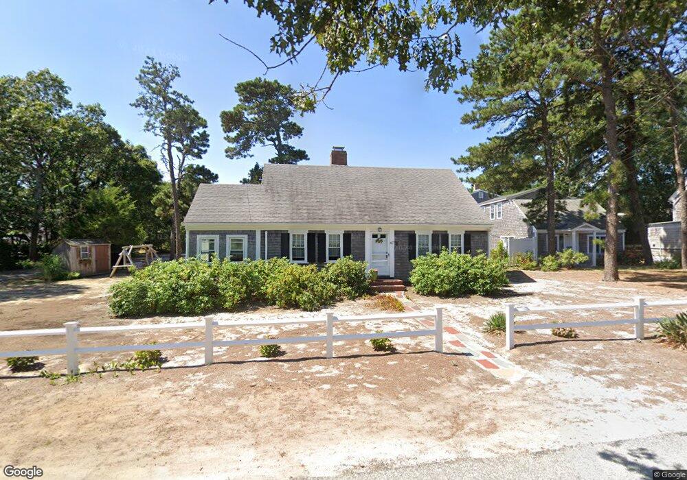
65 Inman Rd Unit X Dennis Port, MA 2639
Dennis Port NeighborhoodEstimated Value: $421,384 - $531,000
2
Beds
2
Baths
962
Sq Ft
$512/Sq Ft
Est. Value
About This Home
This home is located at 65 Inman Rd Unit X, Dennis Port, MA 2639 and is currently estimated at $492,596, approximately $512 per square foot. 65 Inman Rd Unit X is a home located in Barnstable County with nearby schools including Dennis-Yarmouth Regional High School and St. Pius X. School.
Ownership History
Date
Name
Owned For
Owner Type
Purchase Details
Closed on
Jun 24, 2004
Sold by
Demango Helen M and Demango Joseph A
Bought by
Winfield Ronald P
Current Estimated Value
Home Financials for this Owner
Home Financials are based on the most recent Mortgage that was taken out on this home.
Original Mortgage
$212,000
Outstanding Balance
$105,093
Interest Rate
6.32%
Mortgage Type
Purchase Money Mortgage
Estimated Equity
$387,503
Create a Home Valuation Report for This Property
The Home Valuation Report is an in-depth analysis detailing your home's value as well as a comparison with similar homes in the area
Home Values in the Area
Average Home Value in this Area
Purchase History
| Date | Buyer | Sale Price | Title Company |
|---|---|---|---|
| Winfield Ronald P | $265,000 | -- | |
| Winfield Ronald P | $265,000 | -- |
Source: Public Records
Mortgage History
| Date | Status | Borrower | Loan Amount |
|---|---|---|---|
| Open | Winfield Ronald P | $212,000 | |
| Closed | Winfield Ronald P | $212,000 |
Source: Public Records
Tax History Compared to Growth
Tax History
| Year | Tax Paid | Tax Assessment Tax Assessment Total Assessment is a certain percentage of the fair market value that is determined by local assessors to be the total taxable value of land and additions on the property. | Land | Improvement |
|---|---|---|---|---|
| 2025 | $2,086 | $481,700 | $0 | $481,700 |
| 2024 | $1,793 | $408,500 | $0 | $408,500 |
| 2023 | $1,564 | $334,800 | $0 | $334,800 |
| 2022 | $1,493 | $266,600 | $0 | $266,600 |
| 2021 | $1,448 | $240,200 | $0 | $240,200 |
| 2020 | $1,423 | $233,200 | $0 | $233,200 |
| 2019 | $1,482 | $240,200 | $0 | $240,200 |
| 2018 | $1,451 | $228,900 | $0 | $228,900 |
| 2017 | $1,408 | $228,900 | $0 | $228,900 |
| 2016 | $1,451 | $222,200 | $0 | $222,200 |
| 2015 | $1,422 | $222,200 | $0 | $222,200 |
| 2014 | $1,424 | $224,300 | $0 | $224,300 |
Source: Public Records
Map
Nearby Homes
- 1 E Belmont Unit 630
- 1 Belmont Rd Unit 630
- 1 Belmont Rd Unit 542
- 405 Old Wharf Rd Unit B204
- 405 Old Wharf Rd Unit B204
- 12 Cross St
- 102 Sea St
- 148 Belmont Rd
- 22 Ferncliff Rd
- 104 Toms Path
- 104 Toms Path
- 19 Riverway
- 19 Riverway
- 37-A Beach Hills Rd
- 24 Chase St
- 24 Chase St
- 37 Beach Hills Rd
- 10 Candlewood Ln Unit 2-1
- 12 Candlewood Ln Unit 2-9
- 12 Candlewood Ln Unit 1-6
- 65 Inman Rd Unit D
- 65 Inman Rd Unit F
- 65 Inman Rd Unit C
- 65 Inman Rd Unit Y
- 65 Inman Rd Unit E
- 65 Inman Rd
- 65 Inman Rd Unit A
- 65 Inman Rd Unit B
- 65 Inman Rd Unit D
- 67 Inman Rd Unit Y
- 67 Inman Rd Unit F
- 67 Inman Rd Unit E
- 67 Inman Rd Unit D
- 67 Inman Rd Unit C
- 67 Inman Rd Unit B
- 67 Inman Rd Unit A
- 67 Inman Rd
- 67 Inman Rd Unit A-Y
- 67 Inman Rd Unit U-C
- 67 Inman Rd Unit U-E