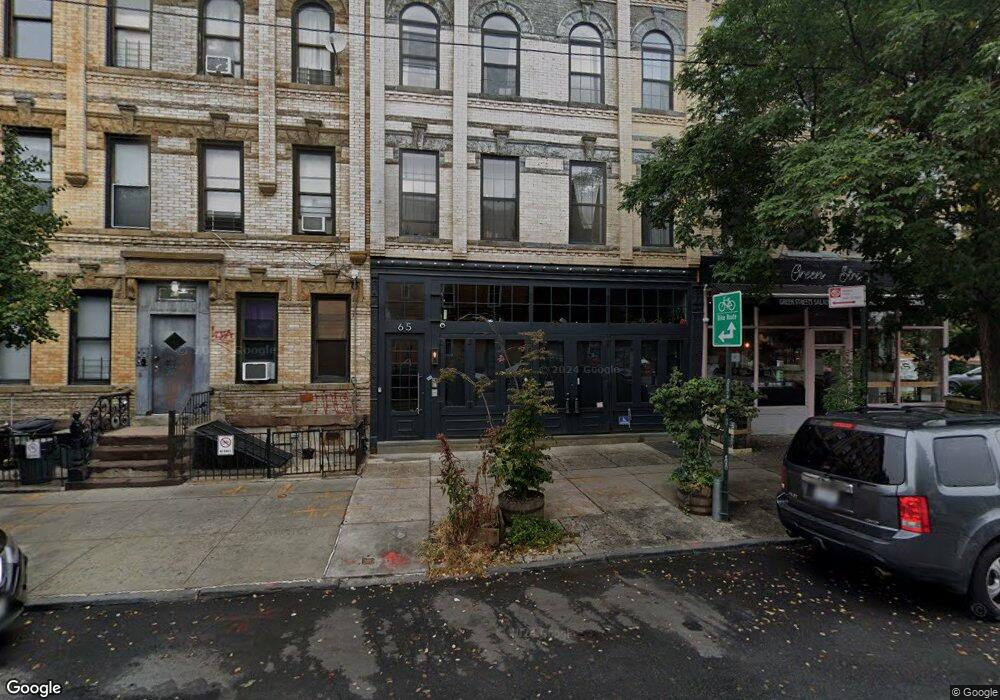
65 Irving Ave Brooklyn, NY 11237
Bushwick NeighborhoodEstimated Value: $4,049,799
--
Bed
--
Bath
5,906
Sq Ft
$686/Sq Ft
Est. Value
About This Home
This home is located at 65 Irving Ave, Brooklyn, NY 11237 and is currently estimated at $4,049,799, approximately $685 per square foot. 65 Irving Ave is a home located in Kings County with nearby schools including P.S. 123 Suydam and J.H.S. 162 The Willoughby.
Ownership History
Date
Name
Owned For
Owner Type
Purchase Details
Closed on
Jun 25, 2014
Sold by
Cronin Gerard
Bought by
65 Irving Llc
Current Estimated Value
Purchase Details
Closed on
Sep 18, 2006
Sold by
Colon Adelita
Bought by
Cronin Gerard
Home Financials for this Owner
Home Financials are based on the most recent Mortgage that was taken out on this home.
Original Mortgage
$487,450
Interest Rate
6.52%
Mortgage Type
Commercial
Create a Home Valuation Report for This Property
The Home Valuation Report is an in-depth analysis detailing your home's value as well as a comparison with similar homes in the area
Home Values in the Area
Average Home Value in this Area
Purchase History
| Date | Buyer | Sale Price | Title Company |
|---|---|---|---|
| 65 Irving Llc | $2,550,000 | -- | |
| Cronin Gerard | $650,000 | -- |
Source: Public Records
Mortgage History
| Date | Status | Borrower | Loan Amount |
|---|---|---|---|
| Previous Owner | Cronin Gerard | $487,450 |
Source: Public Records
Tax History Compared to Growth
Tax History
| Year | Tax Paid | Tax Assessment Tax Assessment Total Assessment is a certain percentage of the fair market value that is determined by local assessors to be the total taxable value of land and additions on the property. | Land | Improvement |
|---|---|---|---|---|
| 2025 | $17,213 | $377,100 | $48,600 | $328,500 |
| 2024 | $17,213 | $314,280 | $48,600 | $265,680 |
| 2023 | $15,639 | $392,850 | $48,600 | $344,250 |
| 2022 | $14,738 | $490,950 | $48,600 | $442,350 |
| 2021 | $13,976 | $577,350 | $48,600 | $528,750 |
| 2020 | $6,871 | $577,350 | $48,600 | $528,750 |
| 2019 | $14,047 | $538,200 | $48,600 | $489,600 |
| 2018 | $9,307 | $73,171 | $7,855 | $65,316 |
| 2017 | $8,619 | $67,765 | $8,431 | $59,334 |
| 2016 | $8,089 | $62,747 | $8,611 | $54,136 |
| 2015 | $5,252 | $62,747 | $10,114 | $52,633 |
| 2014 | $5,252 | $60,778 | $11,763 | $49,015 |
Source: Public Records
Map
Nearby Homes
- 382 Troutman St
- 299 Troutman St
- 289 Troutman St Unit 3B
- 93-95 Wyckoff Ave Unit 4B
- 58 Saint Nicholas Ave Unit 6
- 1499 Dekalb Ave
- 159 Irving Ave Unit 1B
- 1580 Dekalb Ave
- 1610 Dekalb Ave Unit 3D
- 994 Hart St
- 1484 Dekalb Ave Unit A
- 318 Knickerbocker Ave Unit 3D
- 318 Knickerbocker Ave Unit 2A
- 138 George St
- 1048 Flushing Ave Unit 2R
- 768 Hart St Unit 1
- 768 Hart St Unit 2L
- 181 Irving Ave
- 95 Grattan St Unit PH 1
- 229 Stanhope St
- 65 Irving Ave Unit 5
- 65 Irving Ave Unit 3-L
- 67 Irving Ave
- 199 Starr St
- 348-350 Troutman St
- 55 Irving Ave
- 55 Irving Ave Unit 2nd Fl
- 55 Irving Ave Unit 3
- 53 Irving Ave
- 200 Starr St
- 183 Starr St
- 73 Irving Ave
- 202 Starr St
- 204 Starr St
- 75 Irving Ave
- 179 Starr St
- 207-217 Starr St
- 206 Starr St
- 208 Starr St
- 208 Starr St