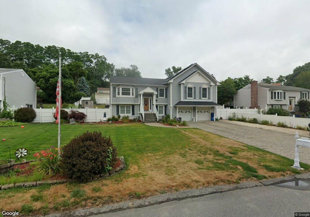
65 Jambray Ave Warwick, RI 02886
Natick NeighborhoodEstimated Value: $493,000 - $545,000
3
Beds
3
Baths
1,577
Sq Ft
$329/Sq Ft
Est. Value
About This Home
This home is located at 65 Jambray Ave, Warwick, RI 02886 and is currently estimated at $518,543, approximately $328 per square foot. 65 Jambray Ave is a home located in Kent County with nearby schools including Islamic School of Rhode Island and St Joseph School.
Ownership History
Date
Name
Owned For
Owner Type
Purchase Details
Closed on
Oct 3, 2022
Sold by
Doreen M Sylvia Ret and Sylvia
Bought by
Sylvia Jodi L
Current Estimated Value
Home Financials for this Owner
Home Financials are based on the most recent Mortgage that was taken out on this home.
Original Mortgage
$255,000
Outstanding Balance
$241,982
Interest Rate
5.13%
Mortgage Type
Purchase Money Mortgage
Estimated Equity
$276,561
Purchase Details
Closed on
Jan 24, 2017
Sold by
Sylvia Doreen M
Bought by
Sylvia Doreen M
Purchase Details
Closed on
May 4, 2015
Sold by
Calise John J
Bought by
Sylvia Doreen M
Create a Home Valuation Report for This Property
The Home Valuation Report is an in-depth analysis detailing your home's value as well as a comparison with similar homes in the area
Home Values in the Area
Average Home Value in this Area
Purchase History
| Date | Buyer | Sale Price | Title Company |
|---|---|---|---|
| Sylvia Jodi L | $425,000 | None Available | |
| Sylvia Doreen M | -- | -- | |
| Sylvia Doreen M | $70,000 | -- |
Source: Public Records
Mortgage History
| Date | Status | Borrower | Loan Amount |
|---|---|---|---|
| Open | Sylvia Jodi L | $255,000 | |
| Previous Owner | Sylvia Doreen M | $264,000 | |
| Previous Owner | Sylvia Doreen M | $214,000 | |
| Previous Owner | Sylvia Doreen M | $120,700 |
Source: Public Records
Tax History
| Year | Tax Paid | Tax Assessment Tax Assessment Total Assessment is a certain percentage of the fair market value that is determined by local assessors to be the total taxable value of land and additions on the property. | Land | Improvement |
|---|---|---|---|---|
| 2025 | $6,173 | $486,100 | $107,200 | $378,900 |
| 2024 | $6,024 | $416,300 | $90,200 | $326,100 |
| 2023 | $5,907 | $416,300 | $90,200 | $326,100 |
| 2022 | $5,658 | $302,100 | $54,600 | $247,500 |
| 2021 | $5,658 | $302,100 | $54,600 | $247,500 |
| 2020 | $5,658 | $302,100 | $54,600 | $247,500 |
| 2019 | $5,658 | $302,100 | $54,600 | $247,500 |
| 2018 | $5,303 | $262,000 | $58,000 | $204,000 |
| 2017 | $5,303 | $262,000 | $58,000 | $204,000 |
| 2016 | $5,303 | $262,000 | $58,000 | $204,000 |
| 2015 | $5,148 | $248,100 | $61,400 | $186,700 |
| 2014 | $4,977 | $248,100 | $61,400 | $186,700 |
| 2013 | $4,910 | $248,100 | $61,400 | $186,700 |
Source: Public Records
Map
Nearby Homes
- 52 Jambray Ave
- 9 Odonnell Ave
- 979 Tollgate Unit 31 Rd
- 12 W Valley Cir
- 11 College Hill Rd Unit 5B
- 11 College Hill Rd Unit 4A
- 8 Carr's Ln
- 5 Carr's Ln
- 7 Carr's Ln
- 9 Carr's Ln
- 237 Commonwealth Ave
- 744 Providence St
- 61 Lafayette St
- 219 Brian Dr
- 12 Railroad Row
- 403 Commonwealth Ave
- 25 Wilson St
- 61 Crossland Rd
- 351 New London Ave Unit 408
- 351 New London Ave Unit 304
Your Personal Tour Guide
Ask me questions while you tour the home.