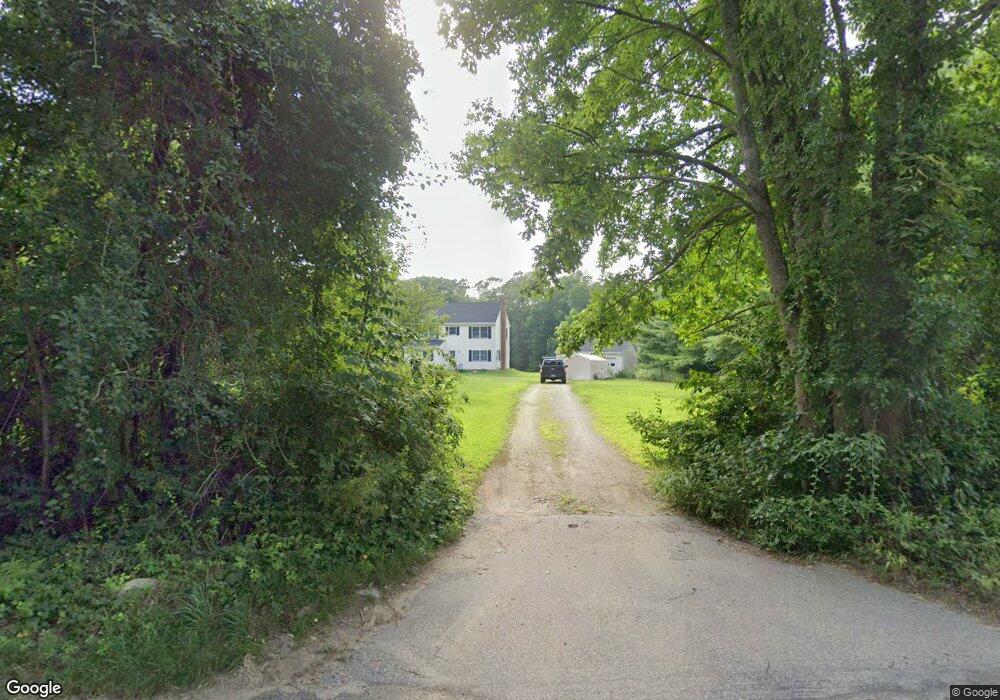
65 John Brook Rd Canterbury, CT 06331
Estimated Value: $449,000 - $480,000
4
Beds
7
Baths
1,852
Sq Ft
$249/Sq Ft
Est. Value
About This Home
This home is located at 65 John Brook Rd, Canterbury, CT 06331 and is currently estimated at $461,953, approximately $249 per square foot. 65 John Brook Rd is a home located in Windham County with nearby schools including Canterbury Elementary School and Dr. Helen Baldwin Middle School.
Ownership History
Date
Name
Owned For
Owner Type
Purchase Details
Closed on
Aug 30, 2010
Sold by
Bolduc Bertrand L
Bought by
Erickson Paul J
Current Estimated Value
Home Financials for this Owner
Home Financials are based on the most recent Mortgage that was taken out on this home.
Original Mortgage
$233,456
Outstanding Balance
$154,627
Interest Rate
4.5%
Mortgage Type
FHA
Estimated Equity
$307,326
Create a Home Valuation Report for This Property
The Home Valuation Report is an in-depth analysis detailing your home's value as well as a comparison with similar homes in the area
Home Values in the Area
Average Home Value in this Area
Purchase History
| Date | Buyer | Sale Price | Title Company |
|---|---|---|---|
| Erickson Paul J | $237,000 | -- | |
| Erickson Paul J | $237,000 | -- |
Source: Public Records
Mortgage History
| Date | Status | Borrower | Loan Amount |
|---|---|---|---|
| Open | Erickson Paul J | $233,456 | |
| Closed | Erickson Paul J | $233,456 | |
| Previous Owner | Erickson Paul J | $77,000 |
Source: Public Records
Tax History Compared to Growth
Tax History
| Year | Tax Paid | Tax Assessment Tax Assessment Total Assessment is a certain percentage of the fair market value that is determined by local assessors to be the total taxable value of land and additions on the property. | Land | Improvement |
|---|---|---|---|---|
| 2025 | $4,205 | $250,900 | $57,900 | $193,000 |
| 2024 | $5,272 | $229,200 | $57,200 | $172,000 |
| 2023 | $3,715 | $161,500 | $43,300 | $118,200 |
| 2022 | $3,715 | $161,500 | $43,300 | $118,200 |
| 2021 | $3,831 | $161,500 | $43,300 | $118,200 |
| 2020 | $4,034 | $152,800 | $42,600 | $110,200 |
| 2019 | $4,034 | $152,800 | $42,600 | $110,200 |
| 2018 | $4,003 | $152,800 | $42,600 | $110,200 |
| 2017 | $3,744 | $152,800 | $42,600 | $110,200 |
| 2016 | $3,744 | $152,800 | $42,600 | $110,200 |
| 2015 | $4,172 | $192,700 | $67,800 | $124,900 |
| 2014 | $4,143 | $192,700 | $67,800 | $124,900 |
Source: Public Records
Map
Nearby Homes
- 0 Hanover Rd
- 416 Hanover Rd
- 202 Cemetery Rd
- 2 Mission St
- 85 Potash Hill Rd
- 78 Salt Rock Rd
- 63 Gay Head Rd
- 165 Kimball Rd
- 145 Scotland Rd
- 114 Scotland Rd
- 93 Kinne Rd
- 25 Kimball Rd
- 24 Kimball Rd
- 165 Lisbon Rd
- 150 Gager Hill Rd
- 7 Devotion Rd
- 0 Brook Rd Unit lot 4
- 8 Harvest Rd
- 38 Sergeants Way
- 125 Main St
- 69 John Brook Rd
- 0 John Brook Rd
- 59 John Brook Rd
- 68 John Brook Rd
- 55 John Brook Rd
- 75 John Brook Rd
- 74 John Brook Rd
- 47 John Brook Rd
- 79 John Brook Rd
- 80 John Brook Rd
- 48 John Brook Rd
- 86 John Brook Rd
- 39 John Brook Rd
- 76 John Brook Rd
- 111 John Brook Rd
- 38 John Brook Rd
- 109 John Brook Rd
- 32 John Brook Rd
- 28 John Brook Rd
- 115 John Brook Rd