Estimated Value: $418,000 - $553,000
3
Beds
2
Baths
1,792
Sq Ft
$262/Sq Ft
Est. Value
About This Home
This home is located at 65 Lenora Ln, Sylva, NC 28779 and is currently estimated at $470,012, approximately $262 per square foot. 65 Lenora Ln is a home located in Jackson County with nearby schools including Fairview Elementary School, Smoky Mountain High School, and Heritage Christian Academy.
Ownership History
Date
Name
Owned For
Owner Type
Purchase Details
Closed on
Dec 29, 2011
Sold by
Leonard Michael Thomas and Leonard Elisabeth Ann
Bought by
Patel Vivek and Patel Mayuri
Current Estimated Value
Home Financials for this Owner
Home Financials are based on the most recent Mortgage that was taken out on this home.
Original Mortgage
$155,200
Outstanding Balance
$17,923
Interest Rate
4.06%
Mortgage Type
New Conventional
Estimated Equity
$452,089
Purchase Details
Closed on
Apr 12, 2007
Sold by
Gibson Patsy C and Gibson William R
Bought by
Gibson Patsy G and Tessin Frederick G
Create a Home Valuation Report for This Property
The Home Valuation Report is an in-depth analysis detailing your home's value as well as a comparison with similar homes in the area
Home Values in the Area
Average Home Value in this Area
Purchase History
| Date | Buyer | Sale Price | Title Company |
|---|---|---|---|
| Patel Vivek | $194,000 | None Available | |
| Gibson Patsy G | -- | -- |
Source: Public Records
Mortgage History
| Date | Status | Borrower | Loan Amount |
|---|---|---|---|
| Open | Patel Vivek | $155,200 |
Source: Public Records
Tax History
| Year | Tax Paid | Tax Assessment Tax Assessment Total Assessment is a certain percentage of the fair market value that is determined by local assessors to be the total taxable value of land and additions on the property. | Land | Improvement |
|---|---|---|---|---|
| 2025 | $2,001 | $526,550 | $41,040 | $485,510 |
| 2024 | $1,186 | $312,110 | $35,910 | $276,200 |
| 2023 | $1,326 | $312,110 | $35,910 | $276,200 |
| 2022 | $1,326 | $312,110 | $35,910 | $276,200 |
| 2021 | $1,186 | $312,110 | $35,910 | $276,200 |
| 2020 | $1,001 | $235,710 | $27,130 | $208,580 |
| 2019 | $1,001 | $235,710 | $27,130 | $208,580 |
| 2018 | $1,001 | $235,710 | $27,130 | $208,580 |
| 2017 | $977 | $235,710 | $27,130 | $208,580 |
| 2015 | $954 | $235,710 | $27,130 | $208,580 |
| 2011 | -- | $240,580 | $35,560 | $205,020 |
Source: Public Records
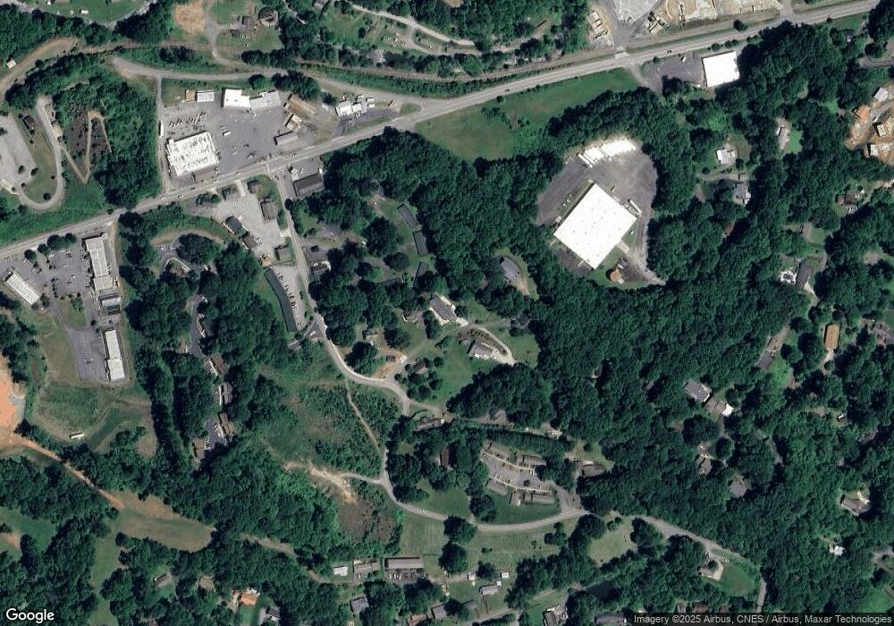
Map
Nearby Homes
- 824 Dillsboro Rd
- 495 Savannah Dr
- 0 Savannah Dr
- 41 Kings Creek Dr
- 189 Crocus Ln
- 241 Crocus Ln
- 9 Alzena Rd
- 153 N River Rd
- 522 N River Rd
- 74 & 78 Hill St
- 00 Jarrett Hills Rd
- 708 Thornhill Dr
- 24 Welders Ln
- 000 Ridgeway St
- 000 Mockingbird Ln
- 562 W Main St
- Lot B Bart Cove Rd
- Lot A Bart Cove Rd
- 1186 Thornhill Dr
- 1767 Ridgeway St
- Lt#9 Lenora Ln
- Lt#7 Lenora Ln
- 0 Lenora Ln
- 41 Lenora Ln
- 75 Lenora Ln
- 120 Lenora Ln
- 8 Lenora Ln
- 87 Lenora Ln
- VL7 Lenora Ln
- 1294 Savannah Dr
- 1244 Savannah Dr
- 1224 Savannah Dr
- 1226 Savannah Dr
- 1018 Savannah Dr
- 1020 Savannah Dr
- 1090 Savannah Dr
- 1339 Savannah Dr
- 1585 W Main St
- 40 Colonial Square
- 133 Oakwood Ln
Your Personal Tour Guide
Ask me questions while you tour the home.