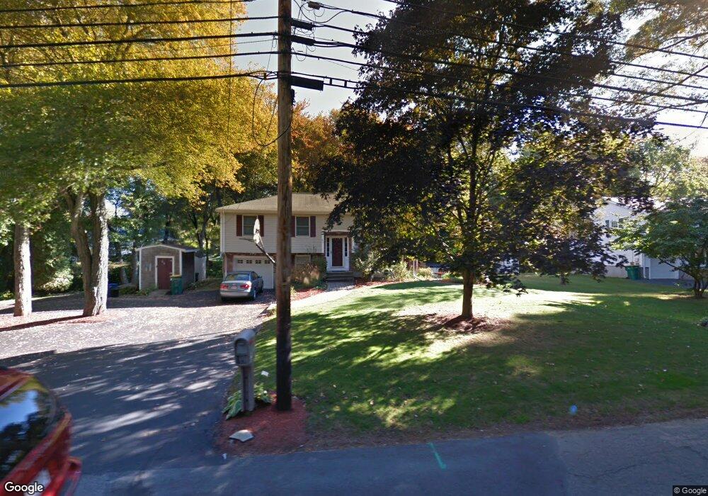
65 Lindsey St North Attleboro, MA 02760
Estimated Value: $655,000 - $932,000
3
Beds
2
Baths
2,578
Sq Ft
$286/Sq Ft
Est. Value
About This Home
This home is located at 65 Lindsey St, North Attleboro, MA 02760 and is currently estimated at $736,800, approximately $285 per square foot. 65 Lindsey St is a home located in Bristol County with nearby schools including North Attleboro High School, Cadence Academy Preschool - North Attleborough, and St John The Evangelist School.
Ownership History
Date
Name
Owned For
Owner Type
Purchase Details
Closed on
Aug 17, 2010
Sold by
Lamothe Donald J and Lamothe Patricia Roy
Bought by
Kurtzer Lawrence E and Kurtzer Irma R
Current Estimated Value
Home Financials for this Owner
Home Financials are based on the most recent Mortgage that was taken out on this home.
Original Mortgage
$310,500
Interest Rate
4.63%
Mortgage Type
Purchase Money Mortgage
Purchase Details
Closed on
Jun 2, 1997
Sold by
Ellsworth Michael E and Ellsworth Joanne
Bought by
Lamothe Donald J and Roy Patricia A
Purchase Details
Closed on
Jun 21, 1994
Sold by
Legendre Linda D
Bought by
Ellsworth Michael E and Ellsworth Joanne
Create a Home Valuation Report for This Property
The Home Valuation Report is an in-depth analysis detailing your home's value as well as a comparison with similar homes in the area
Home Values in the Area
Average Home Value in this Area
Purchase History
| Date | Buyer | Sale Price | Title Company |
|---|---|---|---|
| Kurtzer Lawrence E | $345,000 | -- | |
| Lamothe Donald J | $152,900 | -- | |
| Ellsworth Michael E | $130,000 | -- |
Source: Public Records
Mortgage History
| Date | Status | Borrower | Loan Amount |
|---|---|---|---|
| Open | Ellsworth Michael E | $300,000 | |
| Closed | Kurtzer Lawrence E | $310,500 | |
| Previous Owner | Ellsworth Michael E | $181,600 |
Source: Public Records
Tax History Compared to Growth
Tax History
| Year | Tax Paid | Tax Assessment Tax Assessment Total Assessment is a certain percentage of the fair market value that is determined by local assessors to be the total taxable value of land and additions on the property. | Land | Improvement |
|---|---|---|---|---|
| 2025 | $6,382 | $541,300 | $136,700 | $404,600 |
| 2024 | $6,085 | $527,300 | $136,700 | $390,600 |
| 2023 | $6,254 | $489,000 | $136,700 | $352,300 |
| 2022 | $5,950 | $427,100 | $136,700 | $290,400 |
| 2021 | $5,657 | $396,400 | $136,700 | $259,700 |
| 2020 | $5,483 | $382,100 | $136,700 | $245,400 |
| 2019 | $5,307 | $372,700 | $124,300 | $248,400 |
| 2018 | $4,697 | $352,100 | $124,300 | $227,800 |
| 2017 | $4,463 | $337,600 | $124,300 | $213,300 |
| 2016 | $4,263 | $322,500 | $138,100 | $184,400 |
| 2015 | $4,031 | $306,800 | $145,100 | $161,700 |
| 2014 | $3,919 | $296,000 | $134,000 | $162,000 |
Source: Public Records
Map
Nearby Homes
- 255 Mckeon Dr
- 11 Buckthorn Ln
- 115 Westfield Dr
- 196 Donald Tennant Cir
- 21 Shady Ln
- 20 Sperry Ln
- 150 Gilbert St
- 57 Vine St
- 11 Landry Ave
- 747 N Main St
- 451R Gilbert St
- 59 Laurelwood Dr
- Lot 2 Jeffrey Dr
- 678 N Main St
- 158 Ivy St
- Lot 5 Jeffrey Dr
- 71 Richardson Ave
- 10 Hazelwood Ct
- 12 Houde St
- 5 Old Wood Rd
- 53 Lindsey St
- 53 Lindsey St Unit 53
- 19 Armstrong Dr
- 9 Armstrong Dr
- 31 Armstrong Dr
- 45 Lindsey St
- 78 Lindsey St
- 68 Lindsey St
- 88 Lindsey St
- 43 Armstrong Dr
- 24 Armstrong Dr
- 14 Armstrong Dr
- 24 Whalen Dr
- 35 Lindsey St
- 34 Armstrong Dr
- 99 Lindsey St
- 2 Lochmont Dr
- 44 Lindsey St
- 38 Lindsey St
- 42 Armstrong Dr