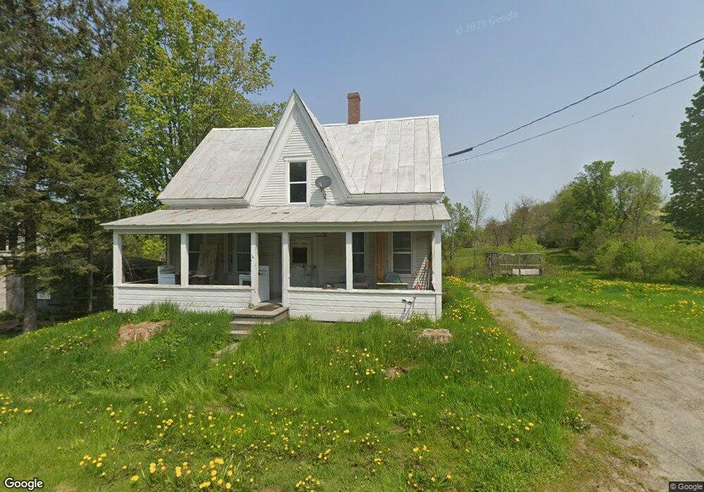
65 Main St Mercer, ME 04957
Estimated Value: $209,000
--
Bed
--
Bath
1,260
Sq Ft
$166/Sq Ft
Est. Value
About This Home
This home is located at 65 Main St, Mercer, ME 04957 and is currently estimated at $209,000, approximately $165 per square foot. 65 Main St is a home located in Somerset County.
Ownership History
Date
Name
Owned For
Owner Type
Purchase Details
Closed on
Jan 7, 2022
Sold by
Thompson Peter F and Thompson Leimomi R
Bought by
Sweeney Michael S
Current Estimated Value
Home Financials for this Owner
Home Financials are based on the most recent Mortgage that was taken out on this home.
Original Mortgage
$55,000
Outstanding Balance
$50,696
Interest Rate
3.12%
Mortgage Type
Purchase Money Mortgage
Estimated Equity
$158,304
Purchase Details
Closed on
Oct 30, 2008
Sold by
Mckenzie Shannon
Bought by
True Beverly B
Purchase Details
Closed on
Jun 16, 2008
Sold by
True Shawn
Bought by
Mckenzie Shannon E
Create a Home Valuation Report for This Property
The Home Valuation Report is an in-depth analysis detailing your home's value as well as a comparison with similar homes in the area
Home Values in the Area
Average Home Value in this Area
Purchase History
| Date | Buyer | Sale Price | Title Company |
|---|---|---|---|
| Sweeney Michael S | -- | None Available | |
| Sweeney Michael S | -- | None Available | |
| True Beverly B | -- | -- | |
| Mckenzie Shannon E | -- | -- |
Source: Public Records
Mortgage History
| Date | Status | Borrower | Loan Amount |
|---|---|---|---|
| Open | Sweeney Michael S | $55,000 | |
| Closed | Sweeney Michael S | $55,000 |
Source: Public Records
Tax History Compared to Growth
Tax History
| Year | Tax Paid | Tax Assessment Tax Assessment Total Assessment is a certain percentage of the fair market value that is determined by local assessors to be the total taxable value of land and additions on the property. | Land | Improvement |
|---|---|---|---|---|
| 2024 | $1,689 | $160,900 | $55,000 | $105,900 |
| 2023 | $1,280 | $68,793 | $21,000 | $47,793 |
| 2022 | $1,211 | $68,793 | $21,000 | $47,793 |
| 2021 | $1,211 | $68,793 | $21,000 | $47,793 |
| 2020 | $1,184 | $67,293 | $19,500 | $47,793 |
| 2019 | $1,164 | $67,293 | $19,500 | $47,793 |
| 2018 | $1,104 | $67,293 | $19,500 | $47,793 |
| 2017 | $1,076 | $67,293 | $19,500 | $47,793 |
| 2016 | $1,073 | $67,293 | $19,500 | $47,793 |
| 2015 | $1,065 | $67,293 | $19,500 | $47,793 |
| 2014 | $1,026 | $67,293 | $19,500 | $47,793 |
Source: Public Records
Map
Nearby Homes
- 17 Claude Brewer Rd
- 204 Rome Rd
- 257 Rome Rd
- 00 U S Highway 2
- 349 Elm St
- 510 Branns Mill Rd
- M10/18-7 Brown Rd
- M18L13 Mercer Rd
- 203 Beans Corner Rd
- 1550 New Sharon Rd
- 335 Swan Rd
- M10 L12 Yeaton Island
- 157 Bradley Ln
- 901 Mercer Rd
- 331 Beans Corner Rd
- 0 Poor Farm Rd Unit 1637355
- 2679 Industry Rd
- 10 Trista Ln
- Lot 33 Butterfield Rd
- 137 Butterfield Rd