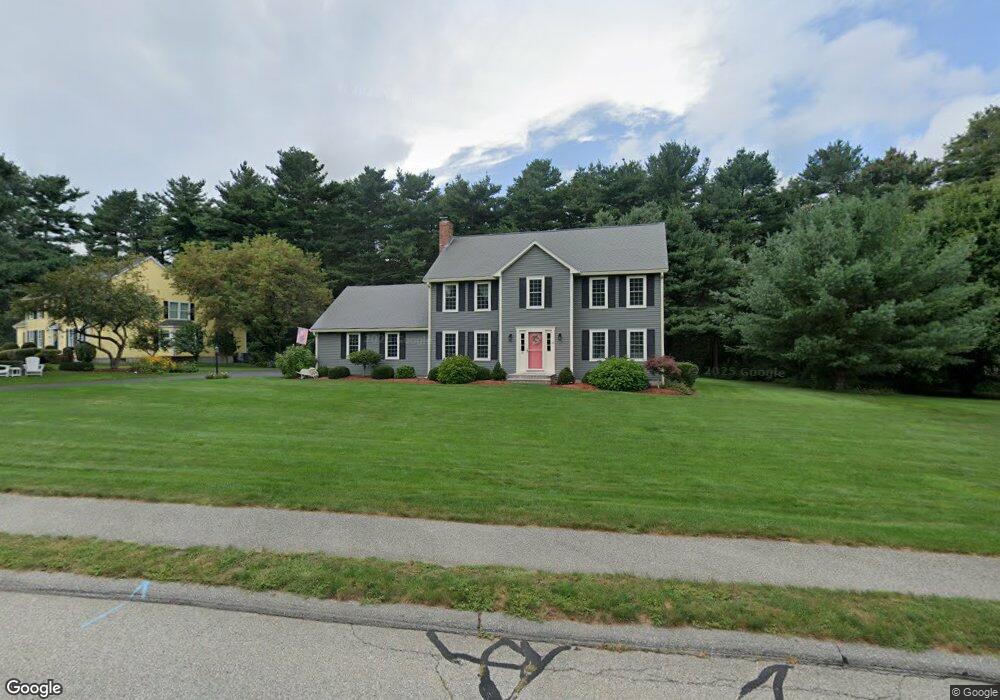
65 Martin Ln Wrentham, MA 02093
Estimated Value: $867,659 - $1,070,000
4
Beds
3
Baths
2,190
Sq Ft
$444/Sq Ft
Est. Value
About This Home
This home is located at 65 Martin Ln, Wrentham, MA 02093 and is currently estimated at $972,415, approximately $444 per square foot. 65 Martin Ln is a home located in Norfolk County with nearby schools including Delaney Elementary School and Charles E Roderick.
Ownership History
Date
Name
Owned For
Owner Type
Purchase Details
Closed on
Apr 16, 2021
Sold by
Rico Joseph E and Rico Elizabeth A
Bought by
Rico Ret
Current Estimated Value
Purchase Details
Closed on
May 15, 2018
Sold by
Rico Joseph E and Rico Elizabeth A
Bought by
Rico Ret
Purchase Details
Closed on
Nov 21, 1997
Sold by
Fallon Douglas W and Fallon Lynn E
Bought by
Rico Joseph E and Rico Elizabeth A
Home Financials for this Owner
Home Financials are based on the most recent Mortgage that was taken out on this home.
Original Mortgage
$175,000
Interest Rate
7.17%
Mortgage Type
Purchase Money Mortgage
Purchase Details
Closed on
Jan 30, 1991
Sold by
Pettinicchio Peter S and Pettinicchio Flora
Bought by
Fallon Douglas W and Fallon Lynn E
Purchase Details
Closed on
Jun 2, 1989
Sold by
Oloughlin Co Inc
Bought by
Pettinicchio Peter P
Create a Home Valuation Report for This Property
The Home Valuation Report is an in-depth analysis detailing your home's value as well as a comparison with similar homes in the area
Home Values in the Area
Average Home Value in this Area
Purchase History
| Date | Buyer | Sale Price | Title Company |
|---|---|---|---|
| Rico Ret | -- | None Available | |
| Rico Joseph E | -- | None Available | |
| Rico Ret | -- | -- | |
| Rico Joseph E | $285,000 | -- | |
| Fallon Douglas W | $212,000 | -- | |
| Pettinicchio Peter P | $265,000 | -- |
Source: Public Records
Mortgage History
| Date | Status | Borrower | Loan Amount |
|---|---|---|---|
| Previous Owner | Pettinicchio Peter P | $23,000 | |
| Previous Owner | Pettinicchio Peter P | $182,500 | |
| Previous Owner | Pettinicchio Peter P | $175,000 |
Source: Public Records
Tax History Compared to Growth
Tax History
| Year | Tax Paid | Tax Assessment Tax Assessment Total Assessment is a certain percentage of the fair market value that is determined by local assessors to be the total taxable value of land and additions on the property. | Land | Improvement |
|---|---|---|---|---|
| 2025 | $8,444 | $728,600 | $290,800 | $437,800 |
| 2024 | $8,149 | $679,100 | $290,800 | $388,300 |
| 2023 | $7,853 | $622,300 | $264,400 | $357,900 |
| 2022 | $7,499 | $548,600 | $246,700 | $301,900 |
| 2021 | $6,939 | $493,200 | $215,300 | $277,900 |
| 2020 | $7,171 | $503,200 | $191,500 | $311,700 |
| 2019 | $6,905 | $489,000 | $191,500 | $297,500 |
| 2018 | $6,653 | $467,200 | $191,700 | $275,500 |
| 2017 | $6,519 | $457,500 | $188,000 | $269,500 |
| 2016 | $6,383 | $447,000 | $182,600 | $264,400 |
| 2015 | $6,362 | $424,700 | $175,500 | $249,200 |
| 2014 | $6,302 | $411,600 | $168,800 | $242,800 |
Source: Public Records
Map
Nearby Homes
- 50 Reed Fulton Ave Unit Lot 61
- 45 Joshua Rd
- 570 Franklin St
- 246 Forest Grove Ave
- 45 King St
- 3 Oak Rd
- 12 Waites Crossing Way
- 10 Nature View Dr
- 15 Nature View Dr
- 3 Sparrow Rd
- 11 Elliot Mills Unit 11
- 14 Essex St
- 270 Dedham St
- 131 Creek St Unit 7
- 0 W Birch Rd
- 10 W Birch Rd
- 11 Waites Crossing
- 20 Waites Crossing
- 19 Waites Crossing
- 9 Waites Crossing