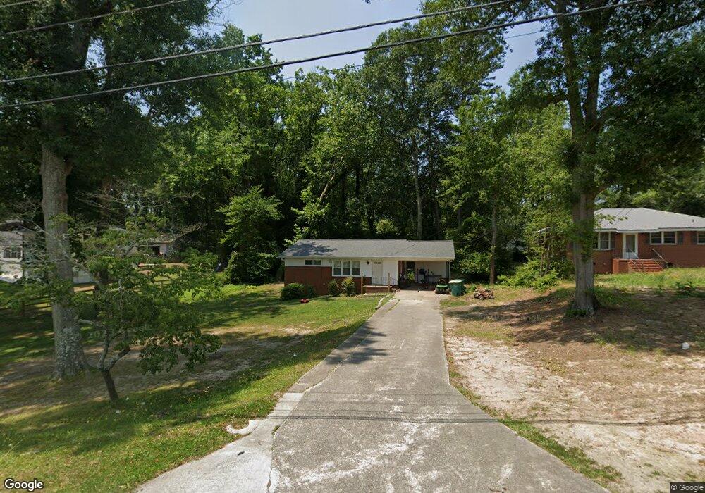
65 Mcelroy St Winder, GA 30680
Estimated Value: $210,000 - $283,000
3
Beds
1
Bath
1,020
Sq Ft
$236/Sq Ft
Est. Value
About This Home
This home is located at 65 Mcelroy St, Winder, GA 30680 and is currently estimated at $240,644, approximately $235 per square foot. 65 Mcelroy St is a home located in Barrow County with nearby schools including Holsenbeck Elementary School, Bear Creek Middle School, and Winder-Barrow High School.
Ownership History
Date
Name
Owned For
Owner Type
Purchase Details
Closed on
May 28, 2020
Sold by
Healan Enterprises Llc
Bought by
Diaz Management Llc
Current Estimated Value
Purchase Details
Closed on
Dec 18, 2019
Sold by
Wilkerson John M
Bought by
Healan Enterprises Llc
Purchase Details
Closed on
May 15, 2013
Sold by
Hill Robert G
Bought by
Wilkerson John M
Home Financials for this Owner
Home Financials are based on the most recent Mortgage that was taken out on this home.
Original Mortgage
$48,000
Interest Rate
3.42%
Mortgage Type
New Conventional
Create a Home Valuation Report for This Property
The Home Valuation Report is an in-depth analysis detailing your home's value as well as a comparison with similar homes in the area
Home Values in the Area
Average Home Value in this Area
Purchase History
| Date | Buyer | Sale Price | Title Company |
|---|---|---|---|
| Diaz Management Llc | $44,500 | -- | |
| Healan Enterprises Llc | $28,000 | -- | |
| Wilkerson John M | $48,000 | -- |
Source: Public Records
Mortgage History
| Date | Status | Borrower | Loan Amount |
|---|---|---|---|
| Previous Owner | Wilkerson John M | $48,000 |
Source: Public Records
Tax History Compared to Growth
Tax History
| Year | Tax Paid | Tax Assessment Tax Assessment Total Assessment is a certain percentage of the fair market value that is determined by local assessors to be the total taxable value of land and additions on the property. | Land | Improvement |
|---|---|---|---|---|
| 2025 | $1,649 | $58,469 | $14,000 | $44,469 |
| 2024 | $1,641 | $57,146 | $14,000 | $43,146 |
| 2023 | $1,636 | $57,146 | $14,000 | $43,146 |
| 2022 | $1,428 | $40,104 | $14,000 | $26,104 |
| 2021 | $1,335 | $35,000 | $10,000 | $25,000 |
| 2020 | $1,112 | $29,728 | $10,000 | $19,728 |
| 2019 | $977 | $25,196 | $8,000 | $17,196 |
| 2018 | $974 | $25,196 | $8,000 | $17,196 |
| 2017 | $668 | $22,388 | $8,000 | $14,388 |
| 2016 | $790 | $22,388 | $8,000 | $14,388 |
| 2015 | $790 | $22,388 | $8,000 | $14,388 |
| 2014 | $689 | $19,876 | $5,488 | $14,388 |
| 2013 | -- | $19,176 | $5,488 | $13,688 |
Source: Public Records
Map
Nearby Homes
- 131 Pinehurst Dr
- 270 Griffith St
- 17 W Wright St
- 160 N Broad St
- 209 Georgia Ave
- 15 E New St
- 221 Martin Luther King jr Dr
- 227 Martin Luther King jr Dr
- 0 Jerome St Unit 10359679
- 208 Shields St
- 5 W Kimball St
- 3 W Kimball St
- 1 W Kimball St
- 122 Capitol Ave
- 403 Corinth Church Rd
- 88 E Stephens St
- 260 Westlyn Way
- 200 Capitol Ave
- 352 3rd Ave
- 78 Shoal Ct
- 61 Mcelroy St
- 73 Mcelroy St
- 232 Sherwood Dr
- 232 Sherwood Dr
- 223 Sherwood Dr
- 286 Georgia Ave
- 280 Georgia Ave
- 231 Sherwood Dr
- 248 Sherwood Dr
- 235 Sherwood Dr
- 274 Georgia Ave
- 241 Sherwood Dr
- 268 Georgia Ave
- 268 Georgia Ave Unit N/
- 213 E Broad St
- 245 Sherwood Dr
- 252 Sherwood Dr
- 281 Georgia Ave
- 287 Georgia Ave
- 277 Georgia Ave