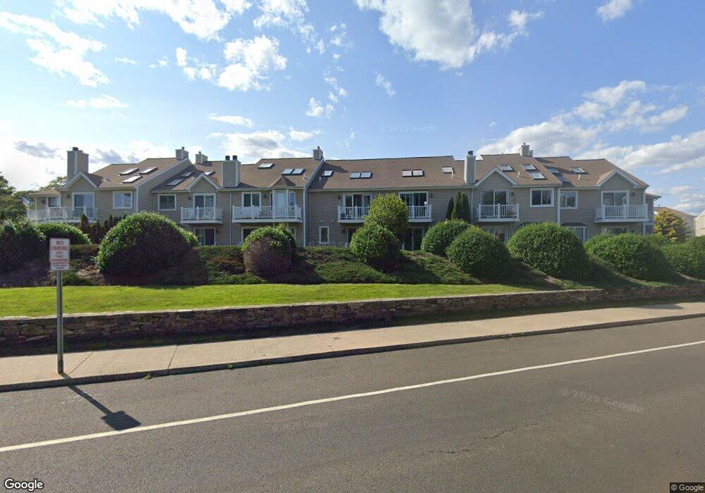
65 Merwin Ave Milford, CT 06460
East Milford NeighborhoodEstimated Value: $617,000 - $871,000
2
Beds
2
Baths
1,666
Sq Ft
$461/Sq Ft
Est. Value
About This Home
This home is located at 65 Merwin Ave, Milford, CT 06460 and is currently estimated at $768,159, approximately $461 per square foot. 65 Merwin Ave is a home located in New Haven County with nearby schools including Live Oaks School, East Shore Middle School, and Joseph A. Foran High School.
Ownership History
Date
Name
Owned For
Owner Type
Purchase Details
Closed on
Jul 25, 2017
Sold by
Leventhal Roberta
Bought by
Lai David W and Lai Valerie L
Current Estimated Value
Home Financials for this Owner
Home Financials are based on the most recent Mortgage that was taken out on this home.
Original Mortgage
$400,000
Outstanding Balance
$208,914
Interest Rate
3.89%
Mortgage Type
Unknown
Estimated Equity
$559,245
Purchase Details
Closed on
Sep 30, 1999
Sold by
Pohl Edward A and Pohl Cynthia F
Bought by
Leventhal Roberta
Create a Home Valuation Report for This Property
The Home Valuation Report is an in-depth analysis detailing your home's value as well as a comparison with similar homes in the area
Home Values in the Area
Average Home Value in this Area
Purchase History
| Date | Buyer | Sale Price | Title Company |
|---|---|---|---|
| Lai David W | $540,000 | -- | |
| Lai David W | $540,000 | -- | |
| Leventhal Roberta | $317,000 | -- | |
| Leventhal Roberta | $317,000 | -- |
Source: Public Records
Mortgage History
| Date | Status | Borrower | Loan Amount |
|---|---|---|---|
| Open | Lai David W | $400,000 | |
| Closed | Lai David W | $400,000 | |
| Previous Owner | Leventhal Roberta | $300,000 | |
| Previous Owner | Leventhal Roberta | $300,000 |
Source: Public Records
Tax History
| Year | Tax Paid | Tax Assessment Tax Assessment Total Assessment is a certain percentage of the fair market value that is determined by local assessors to be the total taxable value of land and additions on the property. | Land | Improvement |
|---|---|---|---|---|
| 2025 | $14,056 | $475,670 | $0 | $475,670 |
| 2024 | $13,861 | $475,670 | $0 | $475,670 |
| 2023 | $12,924 | $475,670 | $0 | $475,670 |
| 2022 | $12,677 | $475,670 | $0 | $475,670 |
| 2021 | $9,989 | $361,250 | $0 | $361,250 |
| 2020 | $9,999 | $361,250 | $0 | $361,250 |
| 2019 | $10,010 | $361,250 | $0 | $361,250 |
| 2018 | $10,021 | $361,250 | $0 | $361,250 |
| 2017 | $10,039 | $361,250 | $0 | $361,250 |
| 2016 | $12,320 | $442,540 | $0 | $442,540 |
| 2015 | $12,338 | $442,540 | $0 | $442,540 |
| 2014 | $12,046 | $442,540 | $0 | $442,540 |
Source: Public Records
Map
Nearby Homes
- 29 Meetinghouse Ln
- 32 1/2 Village Rd
- 25 Village Rd
- 1080 New Haven Ave Unit 113
- 1070 New Haven Ave Unit 47
- 106 Hawley Ave
- 18 Chapel St Unit D
- 330 Merwin Ave Unit 1D
- 12 Norwood Ave
- 36 Kenwood Rd
- 18 Riverdale Rd
- 34 Orchard Rd
- 35 Hilltop Cir E
- 50 Howe St
- 34 Snowapple Ln
- 12 Mcdermott St
- 6 Howe St
- 29 Anderson Ave
- 24 Anderson Ave
- 361 Rock Ln
- 61 Merwin Ave
- 59 Merwin Ave
- 63 Merwin Ave
- 65 Merwin Ave Unit 65
- 63 Merwin Ave Unit 63
- 59 Merwin Ave
- 59 Merwin Ave Unit 59
- 69 Merwin Ave Unit 69
- 61 Merwin Ave Unit 61
- 83 Merwin Ave
- 83 Merwin Ave Unit 1B
- 83 Merwin Ave
- 83 Merwin Ave Unit 83
- 76 Merwin Ave
- 82 Merwin Ave
- 82 Merwin Ave Unit 82
- 78 Merwin Ave
- 80 Merwin Ave
- 86 Merwin Ave