65 Milgray Ln Calera, AL 35040
Estimated Value: $254,000 - $272,609
--
Bed
2
Baths
1,665
Sq Ft
$156/Sq Ft
Est. Value
About This Home
This home is located at 65 Milgray Ln, Calera, AL 35040 and is currently estimated at $260,402, approximately $156 per square foot. 65 Milgray Ln is a home located in Shelby County with nearby schools including Calera Intermediate School, Calera Elementary School, and Calera Middle School.
Ownership History
Date
Name
Owned For
Owner Type
Purchase Details
Closed on
Oct 26, 2006
Sold by
Chamblee James B and Chamblee Stacey
Bought by
Thornton Jason A and Thornton Chyenna D
Current Estimated Value
Home Financials for this Owner
Home Financials are based on the most recent Mortgage that was taken out on this home.
Original Mortgage
$158,750
Interest Rate
6.31%
Mortgage Type
New Conventional
Purchase Details
Closed on
Apr 26, 2002
Sold by
Rollan Robert M and Rollan Phyllis T
Bought by
Chamblee James B and Chamblee Stacey
Home Financials for this Owner
Home Financials are based on the most recent Mortgage that was taken out on this home.
Original Mortgage
$146,566
Interest Rate
7.18%
Mortgage Type
FHA
Create a Home Valuation Report for This Property
The Home Valuation Report is an in-depth analysis detailing your home's value as well as a comparison with similar homes in the area
Home Values in the Area
Average Home Value in this Area
Purchase History
| Date | Buyer | Sale Price | Title Company |
|---|---|---|---|
| Thornton Jason A | $158,750 | None Available | |
| Chamblee James B | $148,900 | -- |
Source: Public Records
Mortgage History
| Date | Status | Borrower | Loan Amount |
|---|---|---|---|
| Closed | Thornton Jason A | $158,750 | |
| Closed | Chamblee James B | $146,566 |
Source: Public Records
Tax History Compared to Growth
Tax History
| Year | Tax Paid | Tax Assessment Tax Assessment Total Assessment is a certain percentage of the fair market value that is determined by local assessors to be the total taxable value of land and additions on the property. | Land | Improvement |
|---|---|---|---|---|
| 2024 | $1,046 | $23,780 | $0 | $0 |
| 2023 | $960 | $22,740 | $0 | $0 |
| 2022 | $778 | $18,620 | $0 | $0 |
| 2021 | $696 | $16,740 | $0 | $0 |
| 2020 | $631 | $15,280 | $0 | $0 |
| 2019 | $634 | $15,340 | $0 | $0 |
| 2017 | $661 | $15,960 | $0 | $0 |
| 2015 | $637 | $15,400 | $0 | $0 |
| 2014 | $621 | $15,040 | $0 | $0 |
Source: Public Records
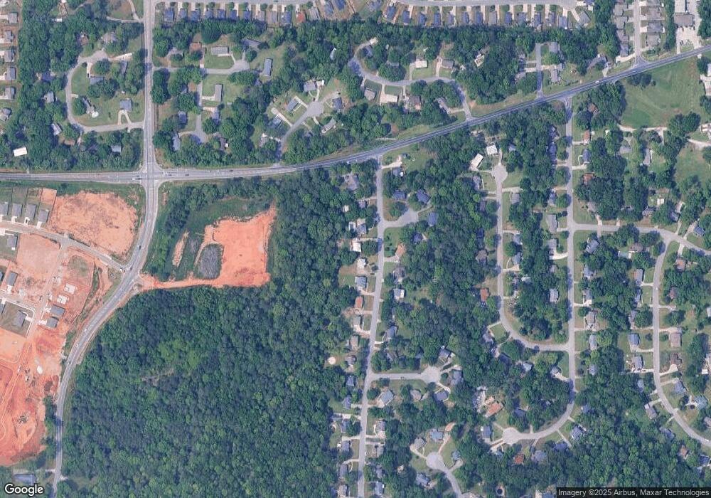
Map
Nearby Homes
- The Penwell Plan at Koslin Farms
- The Hayden Plan at Koslin Farms
- The Freeport Plan at Koslin Farms
- The Cali Plan at Koslin Farms
- The Aldridge Plan at Koslin Farms
- 356 Koslin Loop
- 361 Koslin Loop
- 365 Koslin Loop
- 349 Koslin Loop
- 360 Koslin Loop
- 2051 Rossburg Place
- 568 Southern Hills Dr
- 605 Koslin Ct
- 611 Koslin Ct
- 167 Southern Hills Dr
- 615 Koslin Ct
- 302 Nottingham Dr
- 244 Koslin Loop
- 316 Union Station Way
- 143 King Richards Way