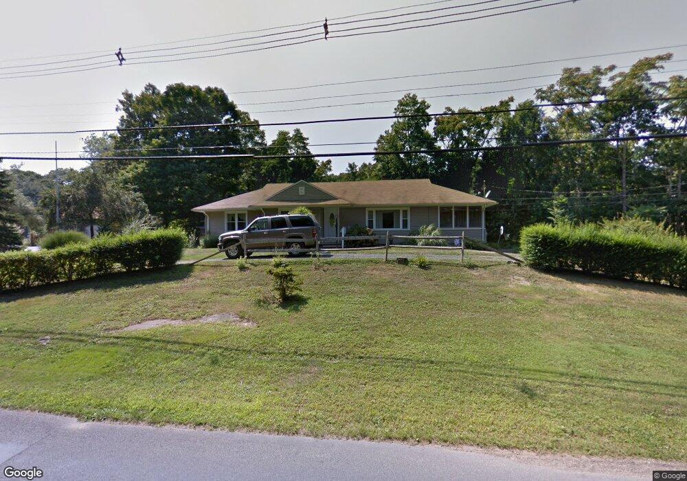
65 Mulberry Point Rd Guilford, CT 06437
Estimated Value: $372,000 - $503,761
3
Beds
2
Baths
1,592
Sq Ft
$287/Sq Ft
Est. Value
About This Home
This home is located at 65 Mulberry Point Rd, Guilford, CT 06437 and is currently estimated at $457,440, approximately $287 per square foot. 65 Mulberry Point Rd is a home located in New Haven County with nearby schools including E.C. Adams Middle School, A. Baldwin Middle School, and Guilford High School.
Ownership History
Date
Name
Owned For
Owner Type
Purchase Details
Closed on
Nov 28, 2005
Sold by
Doyle Lavernia
Bought by
Hubbard Alan C and Hubbard Stacey D
Current Estimated Value
Home Financials for this Owner
Home Financials are based on the most recent Mortgage that was taken out on this home.
Original Mortgage
$95,000
Interest Rate
6.06%
Create a Home Valuation Report for This Property
The Home Valuation Report is an in-depth analysis detailing your home's value as well as a comparison with similar homes in the area
Home Values in the Area
Average Home Value in this Area
Purchase History
| Date | Buyer | Sale Price | Title Company |
|---|---|---|---|
| Hubbard Alan C | $225,000 | -- |
Source: Public Records
Mortgage History
| Date | Status | Borrower | Loan Amount |
|---|---|---|---|
| Open | Hubbard Alan C | $89,900 | |
| Closed | Hubbard Alan C | $95,000 |
Source: Public Records
Tax History Compared to Growth
Tax History
| Year | Tax Paid | Tax Assessment Tax Assessment Total Assessment is a certain percentage of the fair market value that is determined by local assessors to be the total taxable value of land and additions on the property. | Land | Improvement |
|---|---|---|---|---|
| 2025 | $7,262 | $262,640 | $172,550 | $90,090 |
| 2024 | $6,981 | $262,640 | $172,550 | $90,090 |
| 2023 | $6,797 | $262,640 | $172,550 | $90,090 |
| 2022 | $5,332 | $160,350 | $113,050 | $47,300 |
| 2021 | $5,231 | $160,350 | $113,050 | $47,300 |
| 2020 | $5,181 | $160,350 | $113,050 | $47,300 |
| 2019 | $5,136 | $160,350 | $113,050 | $47,300 |
| 2018 | $5,016 | $160,350 | $113,050 | $47,300 |
| 2017 | $4,978 | $169,540 | $117,800 | $51,740 |
| 2016 | $4,861 | $169,540 | $117,800 | $51,740 |
| 2015 | $4,788 | $169,540 | $117,800 | $51,740 |
| 2014 | $4,649 | $169,540 | $117,800 | $51,740 |
Source: Public Records
Map
Nearby Homes
- 76 Sachem Head Rd
- 140 Wildrose Ave
- 427 3 Mile Course
- 134 Water St
- 66 High St Unit 38
- 66 High St Unit 36
- 66 High St Unit 17
- 66 High St Unit 40
- 65 Water St
- 174 Whitfield St
- 379 Whitfield St Unit CN946
- 64 Boston St
- 35 Bayberry Ln
- 12 Paddock Ln
- 52 Seaside Ave
- 82 State St
- 1054 Boston Post Rd
- 120 N Fair St Unit 2C
- 51 Pearl St
- 505 Old Whitfield St
- 81 Mulberry Point Rd
- 39 Mulberry Point Rd
- 97 Mulberry Point Rd
- 111 Mulberry Point Rd
- 41 Mulberry Point Rd
- 90 Mulberry Point Rd
- 54 Huckleberry Ct
- 481 Water St
- 468 Water St
- 0 Mulberry Point Rd Unit G506729
- 0 Mulberry Point Rd Unit M9123025
- 0 Mulberry Point Rd Unit N10075076
- 0 Mulberry Point Rd Unit N10111831
- 0 Mulberry Point Rd Unit N10205767
- 0 Mulberry Point Rd
- 000 Mulberry Point Rd
- 0 Mulberry Point Rd Unit 170172201
- 131 Mulberry Point Rd
- 45 Mulberry Point Rd
- 150 Mulberry Point Rd