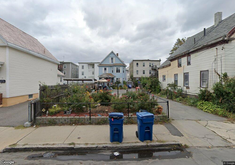
65 Myrtle St Unit 67 Lawrence, MA 01841
Arlington NeighborhoodEstimated Value: $620,000 - $705,000
7
Beds
3
Baths
2,460
Sq Ft
$274/Sq Ft
Est. Value
About This Home
This home is located at 65 Myrtle St Unit 67, Lawrence, MA 01841 and is currently estimated at $675,000, approximately $274 per square foot. 65 Myrtle St Unit 67 is a home located in Essex County with nearby schools including Olive Branch Elementary School, John K Tarbox Elementary School, and School For Exceptional Studies.
Ownership History
Date
Name
Owned For
Owner Type
Purchase Details
Closed on
Aug 22, 1995
Sold by
Tula Rt
Bought by
Gabin Christian E
Current Estimated Value
Home Financials for this Owner
Home Financials are based on the most recent Mortgage that was taken out on this home.
Original Mortgage
$8,000
Interest Rate
7.8%
Create a Home Valuation Report for This Property
The Home Valuation Report is an in-depth analysis detailing your home's value as well as a comparison with similar homes in the area
Home Values in the Area
Average Home Value in this Area
Purchase History
| Date | Buyer | Sale Price | Title Company |
|---|---|---|---|
| Gabin Christian E | $15,000 | -- |
Source: Public Records
Mortgage History
| Date | Status | Borrower | Loan Amount |
|---|---|---|---|
| Open | Gabin Christian E | $120,000 | |
| Closed | Gabin Christian E | $34,675 | |
| Closed | Gabin Christian E | $8,000 |
Source: Public Records
Tax History Compared to Growth
Tax History
| Year | Tax Paid | Tax Assessment Tax Assessment Total Assessment is a certain percentage of the fair market value that is determined by local assessors to be the total taxable value of land and additions on the property. | Land | Improvement |
|---|---|---|---|---|
| 2025 | $5,123 | $582,200 | $114,200 | $468,000 |
| 2024 | $5,110 | $552,400 | $120,000 | $432,400 |
| 2023 | $5,161 | $508,000 | $115,900 | $392,100 |
| 2022 | $4,640 | $405,600 | $109,200 | $296,400 |
| 2021 | $4,425 | $360,600 | $109,200 | $251,400 |
| 2020 | $4,246 | $341,600 | $91,000 | $250,600 |
| 2019 | $3,989 | $291,600 | $67,600 | $224,000 |
| 2018 | $3,759 | $262,500 | $61,300 | $201,200 |
| 2017 | $3,364 | $219,300 | $58,100 | $161,200 |
| 2016 | $3,406 | $219,600 | $45,300 | $174,300 |
| 2015 | $3,153 | $208,500 | $45,300 | $163,200 |
Source: Public Records
Map
Nearby Homes
- 24 Bennington St
- 32 Alma St Unit 32
- 27 Exchange St
- 434-438 Hampshire St
- 29 Willow St Unit B
- 131A Lawrence St Unit 40
- 129-131 Lexington St
- 324-326 Broadway
- 5 Arlington Terrace
- 364 Lawrence St
- 2 Washington St
- 2 Lawrence St
- 179-181 West St
- 169 Berkeley St
- 202 Broadway Unit 2-3
- 202 Broadway Unit 3-3
- 183 Berkeley St
- 83 Oakside Ave
- 46 Amesbury St Unit 2B
- 46 Amesbury St Unit 4D
- 63 Myrtle St
- 71 Myrtle St
- 59 Myrtle St
- 73 Myrtle St
- 24 Bromfield St Unit 26
- 12 Bromfield St Unit 16
- 28 Bromfield St Unit 30
- 62 Myrtle St Unit 64
- 77 Myrtle St
- 64 Myrtle St
- 58 Myrtle St Unit 60
- 26 Bennington St
- 68 Myrtle St
- 58-60 Myrtle St
- 32 Bromfield St Unit 34
- 49 Myrtle St Unit 53
- 35 Robinson Ct
- 83 Myrtle St
- 32 Bennington St
- 56 Myrtle St