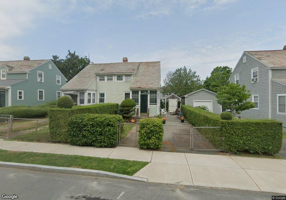
65 Old Fort Rd Newport, RI 02840
Fifth Ward NeighborhoodEstimated Value: $637,000 - $844,087
2
Beds
2
Baths
900
Sq Ft
$813/Sq Ft
Est. Value
About This Home
This home is located at 65 Old Fort Rd, Newport, RI 02840 and is currently estimated at $731,272, approximately $812 per square foot. 65 Old Fort Rd is a home located in Newport County with nearby schools including Rogers High School, St Michael's Country Day School, and All Saints STEAM Academy.
Ownership History
Date
Name
Owned For
Owner Type
Purchase Details
Closed on
Apr 30, 2004
Sold by
Cotsoridis Susan
Bought by
Dougherty Matthew
Current Estimated Value
Create a Home Valuation Report for This Property
The Home Valuation Report is an in-depth analysis detailing your home's value as well as a comparison with similar homes in the area
Home Values in the Area
Average Home Value in this Area
Purchase History
| Date | Buyer | Sale Price | Title Company |
|---|---|---|---|
| Dougherty Matthew | $230,000 | -- |
Source: Public Records
Mortgage History
| Date | Status | Borrower | Loan Amount |
|---|---|---|---|
| Open | Dougherty Matthew | $240,000 | |
| Closed | Dougherty Matthew | $18,000 | |
| Closed | Dougherty Matthew | $245,200 | |
| Closed | Dougherty Matthew | $230,000 |
Source: Public Records
Tax History Compared to Growth
Tax History
| Year | Tax Paid | Tax Assessment Tax Assessment Total Assessment is a certain percentage of the fair market value that is determined by local assessors to be the total taxable value of land and additions on the property. | Land | Improvement |
|---|---|---|---|---|
| 2025 | $4,291 | $597,700 | $358,400 | $239,300 |
| 2024 | $4,166 | $597,700 | $358,400 | $239,300 |
| 2023 | $3,917 | $394,900 | $234,300 | $160,600 |
| 2022 | $3,795 | $394,900 | $234,300 | $160,600 |
| 2021 | $3,684 | $394,900 | $234,300 | $160,600 |
| 2020 | $3,596 | $349,800 | $218,600 | $131,200 |
| 2019 | $3,596 | $349,800 | $218,600 | $131,200 |
| 2018 | $3,495 | $349,800 | $218,600 | $131,200 |
| 2017 | $3,110 | $277,400 | $156,300 | $121,100 |
| 2016 | $3,032 | $277,400 | $156,300 | $121,100 |
| 2015 | $2,960 | $277,400 | $156,300 | $121,100 |
| 2014 | $3,068 | $254,400 | $132,900 | $121,500 |
Source: Public Records
Map
Nearby Homes
- 70 Carroll Ave Unit 905
- 70 Carroll Ave Unit 510
- 99 Roseneath Ave
- 91 Houston Ave
- 13 Vaughan Ave
- 39 Connection St
- 17 Meikle Ave Unit 19
- 0 Meikle Ave
- 46 Chastellux Ave Unit M6
- 57 Clinton St Unit 57C
- 129 Ruggles Ave
- 63 Coggeshall Ave
- 35 Chastellux Ave Unit I
- 1 Harbor View Dr
- 604 Thames & 4 Dixon St
- 45 Hammond St Unit 2
- 6 Sharon Ct
- 11 Ocean Heights Rd
- 519 Bellevue Ave Unit 1W
- 62 Dixon St
- 69 Old Fort Rd Unit 71
- 67 Old Fort Rd
- 59 Old Fort Rd Unit 61
- 18 Palmer St
- 73 Old Fort Rd Unit 75
- 22 Palmer St Unit 24
- 16 Palmer St
- 18 Stacey St
- 53 Old Fort Rd
- 68 Old Fort Rd
- 79 Old Fort Rd
- 79 Old Fort Rd Unit Right Side
- 79 Old Fort Rd Unit A
- 8 Palmer St
- 16 Stacey St
- 81 Old Fort Rd
- 81 Old Fort Rd Unit Left Side
- 0 Stacy St
- 72 Old Fort Rd
- 1 Harold St