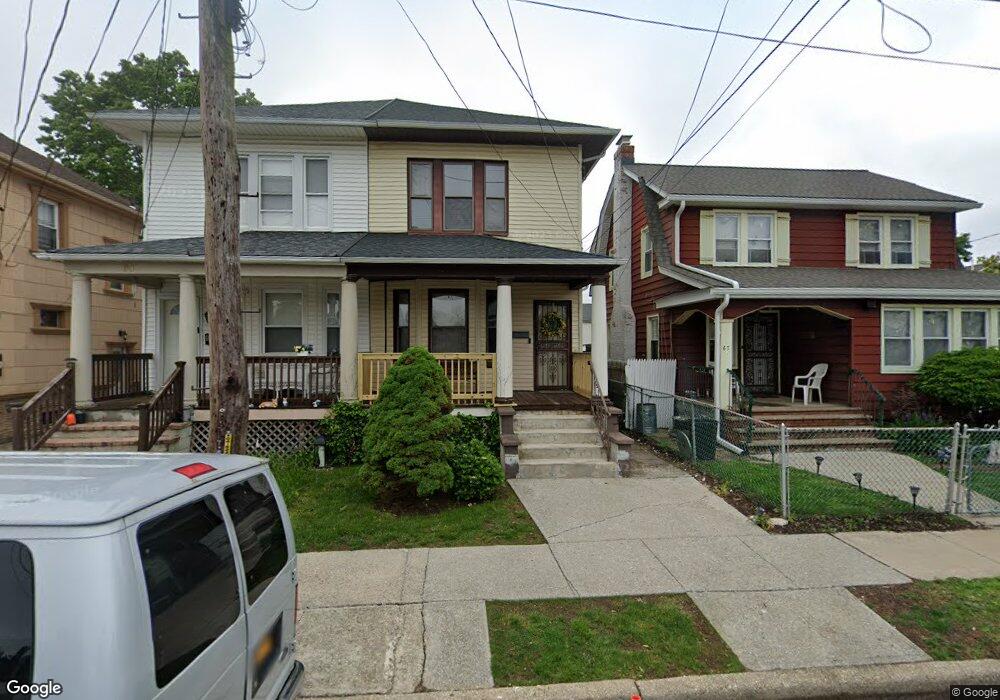
65 Ormond St Hempstead, NY 11550
Estimated Value: $466,706 - $663,000
Studio
2
Baths
1,334
Sq Ft
$423/Sq Ft
Est. Value
About This Home
This home is located at 65 Ormond St, Hempstead, NY 11550 and is currently estimated at $564,853, approximately $423 per square foot. 65 Ormond St is a home located in Nassau County with nearby schools including The Academy Charter School and St Joseph Elementary School.
Ownership History
Date
Name
Owned For
Owner Type
Purchase Details
Closed on
Sep 6, 2022
Sold by
Peralta Evelyn and Peralta Mayobanex
Bought by
Peralta Evelyn
Current Estimated Value
Purchase Details
Closed on
Apr 20, 2013
Sold by
Murillo Evelyn
Bought by
Peralta Evelyn and Peralta Mayobanex
Home Financials for this Owner
Home Financials are based on the most recent Mortgage that was taken out on this home.
Original Mortgage
$13,609
Outstanding Balance
$2,761
Interest Rate
2.75%
Estimated Equity
$562,092
Purchase Details
Closed on
Apr 4, 2006
Sold by
Benitez Maria
Purchase Details
Closed on
Jun 25, 2003
Sold by
Benitez Maria
Create a Home Valuation Report for This Property
The Home Valuation Report is an in-depth analysis detailing your home's value as well as a comparison with similar homes in the area
Home Values in the Area
Average Home Value in this Area
Purchase History
| Date | Buyer | Sale Price | Title Company |
|---|---|---|---|
| Peralta Evelyn | -- | Your Title Experts | |
| Peralta Evelyn | -- | -- | |
| -- | -- | -- | |
| -- | -- | -- |
Source: Public Records
Mortgage History
| Date | Status | Borrower | Loan Amount |
|---|---|---|---|
| Open | Peralta Evelyn | $13,609 |
Source: Public Records
Tax History
| Year | Tax Paid | Tax Assessment Tax Assessment Total Assessment is a certain percentage of the fair market value that is determined by local assessors to be the total taxable value of land and additions on the property. | Land | Improvement |
|---|---|---|---|---|
| 2025 | $6,201 | $289 | $71 | $218 |
| 2024 | $766 | $289 | $71 | $218 |
Source: Public Records
Map
Nearby Homes
- 118 Morrell St
- 12 Lafayette Ave
- 76 Van Cott Ave
- 69 Hewlett St
- 27 Midwood St
- 40 Meadow St
- 32 Stowe Place
- 79 Union Place
- 248 Main St
- 113 Stewart Ave
- 93 Princeton St
- 133 Wellington St
- 140 Amherst St
- 269 E Columbia St
- 297 E Columbia St
- 40 Franklin Ct
- 8 College Place
- 144 N Franklin St
- 36 Hamilton Place Unit 3-J
- 127 2nd St Unit D1
- 63 Ormond St
- 67 Ormond St
- 61 Ormond St
- 57 Ormond St
- 18 Lincoln Blvd
- 14 Lincoln Blvd
- 322 Washington St
- 322 Washington St Unit 3N
- 328 Washington St
- 53 Ormond St
- 318 Washington St
- 330 Washington St Unit 3 A
- 330 Washington St Unit 3 C
- 330 Washington St Unit 1C
- 60 Ormond St
- 70 Ormond St
- 26 Lincoln Blvd
- 314 Washington St
- 52 Ormond St
- 49 Ormond St
Your Personal Tour Guide
Ask me questions while you tour the home.