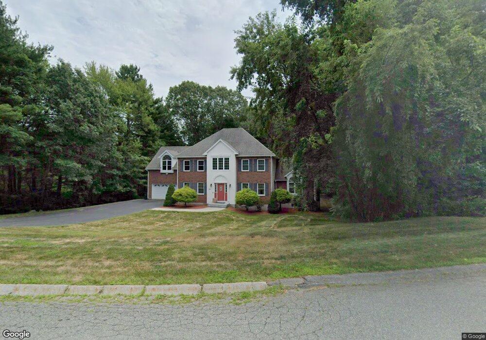
65 Oxbow Rd Canton, MA 02021
Estimated Value: $1,187,936 - $1,522,000
3
Beds
3
Baths
2,936
Sq Ft
$447/Sq Ft
Est. Value
About This Home
This home is located at 65 Oxbow Rd, Canton, MA 02021 and is currently estimated at $1,311,734, approximately $446 per square foot. 65 Oxbow Rd is a home located in Norfolk County.
Ownership History
Date
Name
Owned For
Owner Type
Purchase Details
Closed on
Feb 5, 2008
Sold by
Elkadi Hisham S
Bought by
Elkadi Hisham S and Elarabi Sherine N
Current Estimated Value
Purchase Details
Closed on
Nov 12, 1999
Sold by
Assaf George E and Assaf Nada
Bought by
Elkadi Hisham S
Home Financials for this Owner
Home Financials are based on the most recent Mortgage that was taken out on this home.
Original Mortgage
$350,000
Interest Rate
7.68%
Mortgage Type
Purchase Money Mortgage
Purchase Details
Closed on
Feb 2, 1995
Sold by
Canton Tech Ctr T
Bought by
Assaf George E and Assaf Nada
Home Financials for this Owner
Home Financials are based on the most recent Mortgage that was taken out on this home.
Original Mortgage
$226,000
Interest Rate
9.13%
Mortgage Type
Purchase Money Mortgage
Create a Home Valuation Report for This Property
The Home Valuation Report is an in-depth analysis detailing your home's value as well as a comparison with similar homes in the area
Home Values in the Area
Average Home Value in this Area
Purchase History
| Date | Buyer | Sale Price | Title Company |
|---|---|---|---|
| Elkadi Hisham S | -- | -- | |
| Elkadi Hisham S | $480,000 | -- | |
| Assaf George E | $130,000 | -- |
Source: Public Records
Mortgage History
| Date | Status | Borrower | Loan Amount |
|---|---|---|---|
| Open | Assaf George E | $300,000 | |
| Closed | Assaf George E | $250,000 | |
| Previous Owner | Assaf George E | $350,000 | |
| Previous Owner | Assaf George E | $226,000 |
Source: Public Records
Tax History Compared to Growth
Tax History
| Year | Tax Paid | Tax Assessment Tax Assessment Total Assessment is a certain percentage of the fair market value that is determined by local assessors to be the total taxable value of land and additions on the property. | Land | Improvement |
|---|---|---|---|---|
| 2025 | $10,534 | $1,065,100 | $365,200 | $699,900 |
| 2024 | $10,215 | $1,024,600 | $351,200 | $673,400 |
| 2023 | $9,755 | $922,900 | $351,200 | $571,700 |
| 2022 | $9,776 | $861,300 | $334,500 | $526,800 |
| 2021 | $9,506 | $779,200 | $304,000 | $475,200 |
| 2020 | $9,081 | $742,500 | $289,600 | $452,900 |
| 2019 | $9,046 | $729,500 | $263,200 | $466,300 |
| 2018 | $8,998 | $724,500 | $275,900 | $448,600 |
| 2017 | $9,160 | $716,200 | $270,500 | $445,700 |
| 2016 | $8,780 | $686,500 | $263,900 | $422,600 |
| 2015 | $8,564 | $668,000 | $256,200 | $411,800 |
Source: Public Records
Map
Nearby Homes
- 11 Ledgewood Dr
- 43 Ledgebrook Ave
- 545 Page St Unit 208
- 30 Manitou Rd
- 50 Indian Ln
- 106 Indian Ln
- Lot 2 Pondview Ln
- Lot 1 Pondview Ln
- 68 High St
- 280 Deady Ave
- 79 Gold St
- 98 Glen Echo Blvd
- 1000 Pleasant St
- 19 Camelot Ct
- 3 Spotted Turtle Path Unit 24-2
- 17 Mazzeo Dr
- 43 Emily Jeffers Rd
- 888 Turnpike St
- 159 Bittersweet Ln Unit 107
- 59 Highland Glen Dr Unit 328