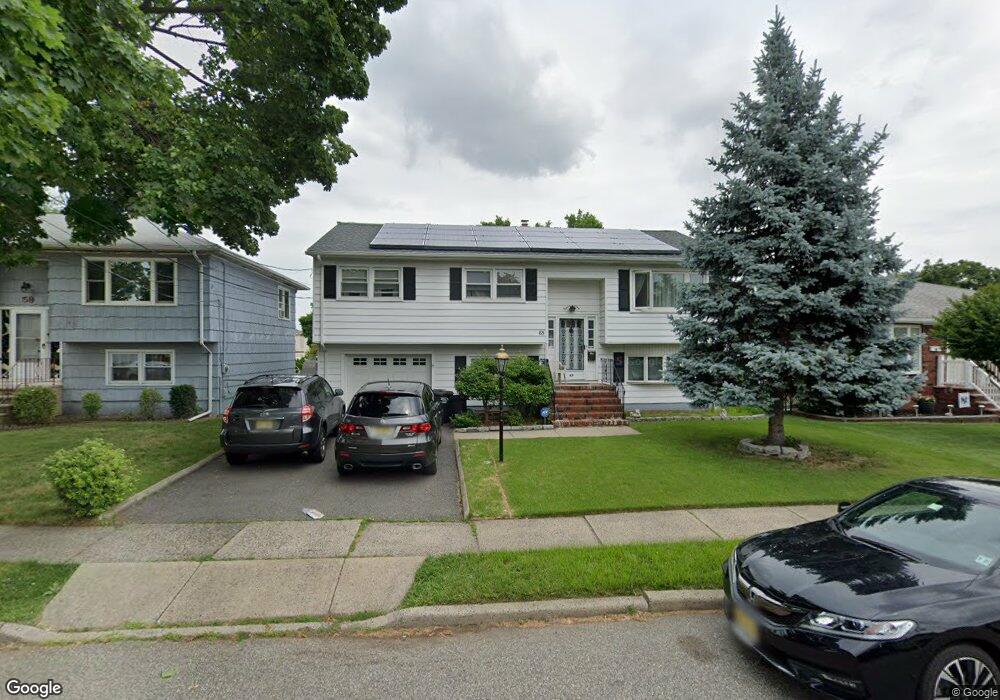
65 Parson Rd Clifton, NJ 07012
Rosemawr NeighborhoodEstimated Value: $643,067 - $949,000
Studio
--
Bath
1,900
Sq Ft
$435/Sq Ft
Est. Value
About This Home
This home is located at 65 Parson Rd, Clifton, NJ 07012 and is currently estimated at $826,017, approximately $434 per square foot. 65 Parson Rd is a home located in Passaic County with nearby schools including Clifton High School, Ybh Of Passaic-Hillel, and Collegiate School.
Ownership History
Date
Name
Owned For
Owner Type
Purchase Details
Closed on
Oct 9, 2018
Sold by
Donlin Myung Soo and Lim Kel Soo
Bought by
Donlin Thomas and Myung Soo Donlin Irrevocable T
Current Estimated Value
Purchase Details
Closed on
Jun 9, 2003
Sold by
Guardino Theresa
Bought by
Donlin Myung and Lim Kel
Purchase Details
Closed on
Feb 12, 1999
Sold by
Wetzel Dennis and Wetzel Francesca
Bought by
Guardino Damiano and Guardino Theresa
Home Financials for this Owner
Home Financials are based on the most recent Mortgage that was taken out on this home.
Original Mortgage
$130,000
Interest Rate
6.76%
Create a Home Valuation Report for This Property
The Home Valuation Report is an in-depth analysis detailing your home's value as well as a comparison with similar homes in the area
Home Values in the Area
Average Home Value in this Area
Purchase History
| Date | Buyer | Sale Price | Title Company |
|---|---|---|---|
| Donlin Thomas | -- | None Available | |
| Donlin Myung | $390,000 | -- | |
| Guardino Damiano | $230,000 | Commonwealth Land Title Ins |
Source: Public Records
Mortgage History
| Date | Status | Borrower | Loan Amount |
|---|---|---|---|
| Previous Owner | Guardino Damiano | $130,000 |
Source: Public Records
Tax History
| Year | Tax Paid | Tax Assessment Tax Assessment Total Assessment is a certain percentage of the fair market value that is determined by local assessors to be the total taxable value of land and additions on the property. | Land | Improvement |
|---|---|---|---|---|
| 2025 | $11,789 | $198,600 | $93,500 | $105,100 |
| 2024 | $11,507 | $198,600 | $93,500 | $105,100 |
Source: Public Records
Map
Nearby Homes
- 76 Scoles Ave
- 163 Edgewood Ave
- 102 Scoles Ave
- 84 Allwood Place
- 132 Cresthill Ave
- 25 Mayer Dr Unit 121
- 55 Heights Rd
- 56 Dawson Ave
- 189 Mineral Spring Ave
- 147 Martin Ave
- 136 Martin Ave
- 112 Dawson Ave
- 9 Century Place
- 11 Century Place
- 88 Harrington Rd
- 144 Major St
- 190 Martin Ave
- 108 Harrington Rd
- 15 Peru Rd
- 90 Dick St
Your Personal Tour Guide
Ask me questions while you tour the home.