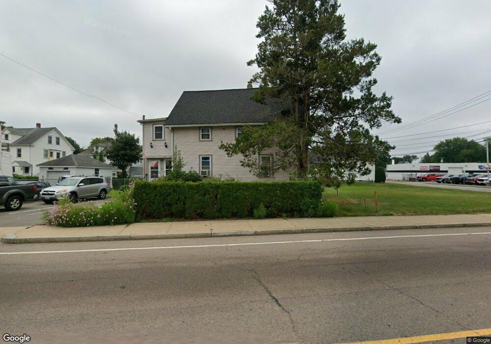
65 Pratt St Unit 67 Mansfield, MA 02048
Estimated Value: $555,000 - $708,000
4
Beds
2
Baths
1,528
Sq Ft
$416/Sq Ft
Est. Value
About This Home
This home is located at 65 Pratt St Unit 67, Mansfield, MA 02048 and is currently estimated at $635,780, approximately $416 per square foot. 65 Pratt St Unit 67 is a home located in Bristol County with nearby schools including Everett W. Robinson Elementary School, Jordan/Jackson Elementary School, and Harold L. Qualters Middle School.
Ownership History
Date
Name
Owned For
Owner Type
Purchase Details
Closed on
Jan 28, 1992
Sold by
Abc T
Bought by
Deponte Ernest P and Deponte Adelaide
Current Estimated Value
Create a Home Valuation Report for This Property
The Home Valuation Report is an in-depth analysis detailing your home's value as well as a comparison with similar homes in the area
Home Values in the Area
Average Home Value in this Area
Purchase History
| Date | Buyer | Sale Price | Title Company |
|---|---|---|---|
| Deponte Ernest P | $11,000 | -- |
Source: Public Records
Mortgage History
| Date | Status | Borrower | Loan Amount |
|---|---|---|---|
| Open | Deponte Ernest P | $10,000 | |
| Closed | Deponte Ernest P | $36,000 |
Source: Public Records
Tax History Compared to Growth
Tax History
| Year | Tax Paid | Tax Assessment Tax Assessment Total Assessment is a certain percentage of the fair market value that is determined by local assessors to be the total taxable value of land and additions on the property. | Land | Improvement |
|---|---|---|---|---|
| 2025 | $6,677 | $507,000 | $209,300 | $297,700 |
| 2024 | $6,618 | $490,200 | $231,400 | $258,800 |
| 2023 | $6,435 | $456,700 | $231,400 | $225,300 |
| 2022 | $6,514 | $429,400 | $214,200 | $215,200 |
| 2021 | $5,448 | $354,700 | $170,000 | $184,700 |
| 2020 | $5,448 | $354,700 | $170,000 | $184,700 |
| 2019 | $4,639 | $304,800 | $134,600 | $170,200 |
| 2018 | $4,040 | $284,400 | $121,500 | $162,900 |
| 2017 | $3,782 | $251,800 | $118,000 | $133,800 |
| 2016 | $3,267 | $212,000 | $99,900 | $112,100 |
| 2015 | $3,060 | $197,400 | $99,900 | $97,500 |
Source: Public Records
Map
Nearby Homes
- 82 Brook St
- 22 Pleasant St Unit C
- 28 Angell St
- 44 Angell St Unit 44
- 150 Rumford Ave Unit 110
- 28 Court St
- 619 N Main St
- 166 Chauncy St
- 277 Central St
- 356 Central St
- 12 Spring St
- 631 East St Unit E203
- 414 Branch St
- 442 Ware St
- 460 Ware St
- 261 East St
- 6 Erick Rd Unit 73
- 151 Stearns Ave
- 1 Revere Dr
- 16 Erick Rd Unit 34
- 71 Pratt St
- 36 Newton St
- 101 Chilson Ave
- 101 Chilson Ave Unit 1
- 101 Chilson Ave Unit 2
- 101 Chilson Ave Unit 2
- 75 Pratt St
- 70 Pratt St
- 62 Pratt St
- 62 Pratt St Unit 1
- 32 Newton St
- 93 Chilson Ave
- 76 Pratt St
- 28 Newton St
- 81 Pratt St
- 33 Newton St
- 54 Pratt St
- 54 Pratt St Unit 3
- 89 Chilson Ave
- 89 Chilson Ave Unit 2