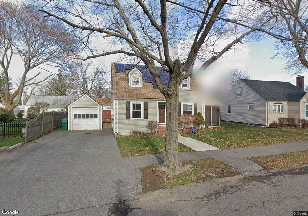
65 Purdon Ave Lynn, MA 01905
Lower Boston Street NeighborhoodEstimated Value: $530,000 - $601,000
2
Beds
1
Bath
993
Sq Ft
$558/Sq Ft
Est. Value
About This Home
This home is located at 65 Purdon Ave, Lynn, MA 01905 and is currently estimated at $554,233, approximately $558 per square foot. 65 Purdon Ave is a home located in Essex County with nearby schools including Lincoln-Thomson Elementary School, William R. Fallon School, and Breed Middle School.
Ownership History
Date
Name
Owned For
Owner Type
Purchase Details
Closed on
Aug 21, 2009
Sold by
Thurston Donald W and Deland Valerie D
Bought by
Deland Valerie D
Current Estimated Value
Home Financials for this Owner
Home Financials are based on the most recent Mortgage that was taken out on this home.
Original Mortgage
$145,000
Interest Rate
5.19%
Mortgage Type
Purchase Money Mortgage
Purchase Details
Closed on
Dec 22, 1992
Sold by
Brotherhood Cu
Bought by
Thurston Donald W and Thurston Valerie D
Create a Home Valuation Report for This Property
The Home Valuation Report is an in-depth analysis detailing your home's value as well as a comparison with similar homes in the area
Home Values in the Area
Average Home Value in this Area
Purchase History
| Date | Buyer | Sale Price | Title Company |
|---|---|---|---|
| Deland Valerie D | -- | -- | |
| Thurston Donald W | $105,000 | -- |
Source: Public Records
Mortgage History
| Date | Status | Borrower | Loan Amount |
|---|---|---|---|
| Open | Thurston Donald W | $152,000 | |
| Closed | Thurston Donald W | $150,000 | |
| Closed | Thurston Donald W | $145,000 |
Source: Public Records
Tax History
| Year | Tax Paid | Tax Assessment Tax Assessment Total Assessment is a certain percentage of the fair market value that is determined by local assessors to be the total taxable value of land and additions on the property. | Land | Improvement |
|---|---|---|---|---|
| 2025 | $5,793 | $559,200 | $226,900 | $332,300 |
| 2024 | $5,324 | $505,600 | $199,300 | $306,300 |
| 2023 | $5,302 | $475,500 | $205,900 | $269,600 |
| 2022 | $4,999 | $402,200 | $152,400 | $249,800 |
| 2021 | $4,636 | $355,800 | $140,200 | $215,600 |
| 2020 | $4,533 | $338,300 | $134,900 | $203,400 |
| 2019 | $4,585 | $320,600 | $127,000 | $193,600 |
| 2018 | $4,650 | $306,900 | $140,200 | $166,700 |
| 2017 | $4,093 | $262,400 | $116,500 | $145,900 |
| 2016 | $3,984 | $246,200 | $109,100 | $137,100 |
| 2015 | $3,831 | $228,700 | $108,200 | $120,500 |
Source: Public Records
Map
Nearby Homes
- 32 Birch Brook Landing Unit 23
- 32 Birch Brook Landing Unit 25
- 32 Birch Brook Landing Unit 22
- 590 Boston St Unit 303
- 46 Wilfred St
- 32 Birch Brook Rd Unit 13
- 32 Birch Brook Rd Unit 27
- 32 Birch Brook Rd Unit 16
- 32 Birch Brook Rd Unit 1
- 32 Birch Brook Rd Unit 14
- 32 Birch Brook Rd Unit 28
- 28 Wyman St
- 70 Wyman St
- 268 Walnut St
- 21 Fenton Ave
- 79 Laurel St
- 73 Waterhill St
- 11 Margin St Unit 7
- 50-50A Kirtland St
- 78-80 Spencer St
Your Personal Tour Guide
Ask me questions while you tour the home.