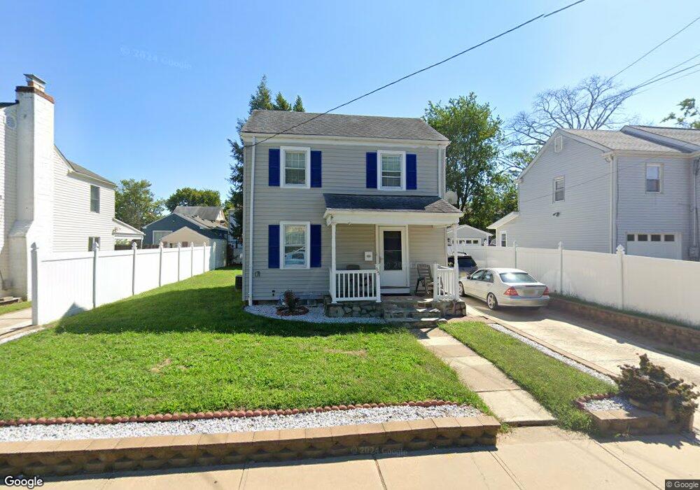
65 Quincy Ave Trenton, NJ 08629
Estimated Value: $215,000 - $282,000
--
Bed
--
Bath
880
Sq Ft
$283/Sq Ft
Est. Value
About This Home
This home is located at 65 Quincy Ave, Trenton, NJ 08629 and is currently estimated at $249,138, approximately $283 per square foot. 65 Quincy Ave is a home located in Mercer County with nearby schools including Kuser Elementary School, Emily C. Reynolds Middle School, and Steinert - Hamilton High East.
Ownership History
Date
Name
Owned For
Owner Type
Purchase Details
Closed on
Oct 11, 2019
Sold by
Romano Elena and Romano Oscar
Bought by
Queen Investments Four
Current Estimated Value
Purchase Details
Closed on
Jul 25, 2006
Sold by
Basford Brian
Bought by
Romano Oscar and Romano Elena Hargous
Home Financials for this Owner
Home Financials are based on the most recent Mortgage that was taken out on this home.
Original Mortgage
$175,275
Interest Rate
6.67%
Mortgage Type
Purchase Money Mortgage
Create a Home Valuation Report for This Property
The Home Valuation Report is an in-depth analysis detailing your home's value as well as a comparison with similar homes in the area
Home Values in the Area
Average Home Value in this Area
Purchase History
| Date | Buyer | Sale Price | Title Company |
|---|---|---|---|
| Queen Investments Four | $101,000 | None Available | |
| Romano Oscar | $184,500 | -- |
Source: Public Records
Mortgage History
| Date | Status | Borrower | Loan Amount |
|---|---|---|---|
| Previous Owner | Romano Oscar | $175,275 |
Source: Public Records
Tax History Compared to Growth
Tax History
| Year | Tax Paid | Tax Assessment Tax Assessment Total Assessment is a certain percentage of the fair market value that is determined by local assessors to be the total taxable value of land and additions on the property. | Land | Improvement |
|---|---|---|---|---|
| 2025 | $4,084 | $115,900 | $26,800 | $89,100 |
| 2024 | $3,828 | $115,900 | $26,800 | $89,100 |
| 2023 | $3,828 | $115,900 | $26,800 | $89,100 |
| 2022 | $3,768 | $115,900 | $26,800 | $89,100 |
| 2021 | $4,327 | $115,900 | $26,800 | $89,100 |
| 2020 | $3,909 | $115,900 | $26,800 | $89,100 |
| 2019 | $3,807 | $115,900 | $26,800 | $89,100 |
| 2018 | $3,764 | $115,900 | $26,800 | $89,100 |
| 2017 | $3,572 | $115,900 | $26,800 | $89,100 |
| 2016 | $3,215 | $118,900 | $29,800 | $89,100 |
| 2015 | $3,644 | $75,000 | $20,900 | $54,100 |
| 2014 | $3,586 | $75,000 | $20,900 | $54,100 |
Source: Public Records
Map
Nearby Homes
- 1524 Elizabeth Ave
- 618 Atlantic Ave
- 480 S Logan Ave
- 235 Darcy Ave
- 448 Lynwood Ave
- 1427 Hamilton Ave
- 365 Cleveland Ave
- 20 Charlotte Ave
- 224 Garfield Ave
- 51 Charlotte Ave
- 254 S Olden Ave
- 151 S Logan Ave
- 19 Scammel Ave
- 631 S Olden Ave
- 194 Atlantic Ave
- 657 S Olden Ave
- 1110 Hamilton Ave
- 116 Cleveland Ave
- 238 S Walter Ave
- 263 S Walter Ave
- 59 Quincy Ave
- 73 Quincy Ave
- 1422 Elizabeth Ave
- 1424 Elizabeth Ave
- 1428 Elizabeth Ave Unit 1430
- 446 Massachusetts Ave
- 1348 Elizabeth Ave
- 551 Atlantic Ave
- 1438 Elizabeth Ave
- 1346 Elizabeth Ave
- 1342 Elizabeth Ave
- 1440 Elizabeth Ave
- 447 Atlantic Ave
- 1340 Elizabeth Ave
- 440 Massachusetts Ave
- 561 Atlantic Ave
- 1336 Elizabeth Ave
- 441 Atlantic Ave
- 1444 Elizabeth Ave
- 1334 Elizabeth Ave