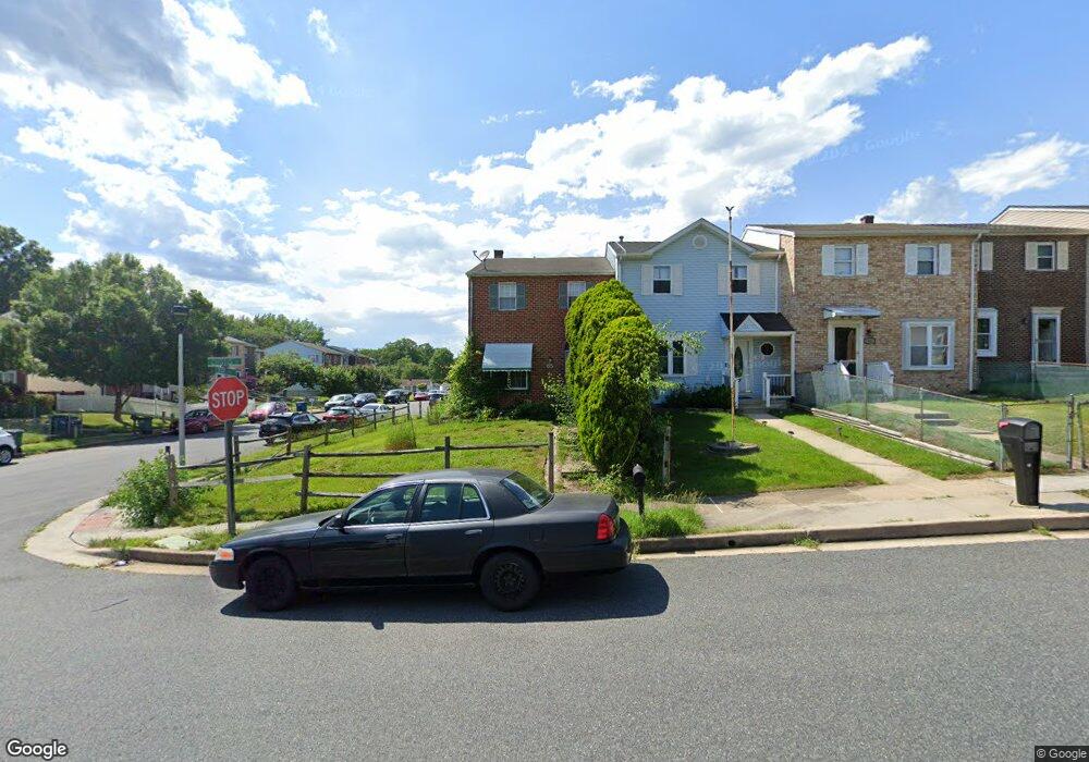
65 Ray Ave Aberdeen, MD 21001
Estimated Value: $195,000 - $223,000
Studio
3
Baths
1,240
Sq Ft
$170/Sq Ft
Est. Value
About This Home
This home is located at 65 Ray Ave, Aberdeen, MD 21001 and is currently estimated at $210,987, approximately $170 per square foot. 65 Ray Ave is a home located in Harford County with nearby schools including Bakerfield Elementary School, Aberdeen Middle School, and Aberdeen High School.
Ownership History
Date
Name
Owned For
Owner Type
Purchase Details
Closed on
Aug 3, 2023
Sold by
Sapp Linda T and Sapp Harry
Bought by
Sapp Harry
Current Estimated Value
Purchase Details
Closed on
Oct 26, 2000
Sold by
Basl Constance A
Bought by
Sapp Linda T
Purchase Details
Closed on
Dec 15, 1986
Sold by
Mitchell George W and Mitchell Wf
Bought by
Basl Constance A
Home Financials for this Owner
Home Financials are based on the most recent Mortgage that was taken out on this home.
Original Mortgage
$50,758
Interest Rate
9.35%
Create a Home Valuation Report for This Property
The Home Valuation Report is an in-depth analysis detailing your home's value as well as a comparison with similar homes in the area
Home Values in the Area
Average Home Value in this Area
Purchase History
| Date | Buyer | Sale Price | Title Company |
|---|---|---|---|
| Sapp Harry | -- | None Listed On Document | |
| Sapp Harry | -- | None Listed On Document | |
| Sapp Linda T | $83,000 | -- | |
| Basl Constance A | $58,900 | -- |
Source: Public Records
Mortgage History
| Date | Status | Borrower | Loan Amount |
|---|---|---|---|
| Previous Owner | Basl Constance A | $50,758 | |
| Closed | Sapp Linda T | -- |
Source: Public Records
Tax History
| Year | Tax Paid | Tax Assessment Tax Assessment Total Assessment is a certain percentage of the fair market value that is determined by local assessors to be the total taxable value of land and additions on the property. | Land | Improvement |
|---|---|---|---|---|
| 2025 | $1,521 | $167,800 | $0 | $0 |
| 2024 | $1,521 | $159,600 | $0 | $0 |
| 2023 | $1,443 | $151,400 | $40,500 | $110,900 |
| 2022 | $1,424 | $149,333 | $0 | $0 |
| 2021 | $1,460 | $147,267 | $0 | $0 |
| 2020 | $1,460 | $145,200 | $40,500 | $104,700 |
| 2019 | $1,454 | $144,533 | $0 | $0 |
| 2018 | $1,434 | $143,867 | $0 | $0 |
| 2017 | $1,427 | $143,200 | $0 | $0 |
| 2016 | -- | $138,700 | $0 | $0 |
| 2015 | $1,366 | $134,200 | $0 | $0 |
| 2014 | $1,366 | $129,700 | $0 | $0 |
Source: Public Records
Map
Nearby Homes
- 754 Custis St
- 125 Valley Rd
- 21 Gunnison Dr
- 687 Plater St
- 631 W Bel Air Ave
- 229 Baltimore St
- 0 Harford St Unit MDHR2039982
- 422 Ford St
- 740 Bur Oak Ct Unit 78
- 722 Bur Oak Ct Unit 77
- 302 Graceford Dr
- 0 Arthur Rd Unit MDHR2050208
- 69 Baker St
- 45 Mount Royal Ave
- 339 Edmund St
- 321 S Law St
- 312 S Rogers St
- 136 S Parke St
- 449 S Law St
- 662 Andrews Rd
Your Personal Tour Guide
Ask me questions while you tour the home.