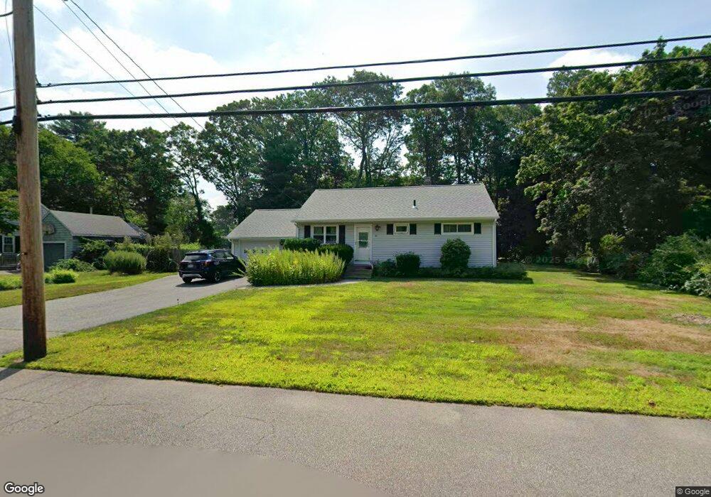
65 Raymond Hall Dr North Attleboro, MA 02760
North Attleboro NeighborhoodEstimated Value: $472,482 - $566,000
2
Beds
2
Baths
936
Sq Ft
$559/Sq Ft
Est. Value
About This Home
This home is located at 65 Raymond Hall Dr, North Attleboro, MA 02760 and is currently estimated at $523,621, approximately $559 per square foot. 65 Raymond Hall Dr is a home located in Bristol County with nearby schools including North Attleboro High School, Cadence Academy Preschool - North Attleborough, and Bishop Feehan High School.
Ownership History
Date
Name
Owned For
Owner Type
Purchase Details
Closed on
Apr 29, 2020
Sold by
Nickerson Paul R and Nickerson Theresa A
Bought by
Nickerson Ft
Current Estimated Value
Purchase Details
Closed on
Jan 1, 1979
Bought by
Nickerson Paul R and Nickerson Theresa A
Create a Home Valuation Report for This Property
The Home Valuation Report is an in-depth analysis detailing your home's value as well as a comparison with similar homes in the area
Home Values in the Area
Average Home Value in this Area
Purchase History
| Date | Buyer | Sale Price | Title Company |
|---|---|---|---|
| Nickerson Ft | -- | None Available | |
| Nickerson Paul R | -- | -- |
Source: Public Records
Mortgage History
| Date | Status | Borrower | Loan Amount |
|---|---|---|---|
| Previous Owner | Nickerson Paul R | $50,000 | |
| Previous Owner | Nickerson Paul R | $20,000 | |
| Previous Owner | Nickerson Paul R | $85,000 | |
| Previous Owner | Nickerson Paul R | $10,000 |
Source: Public Records
Tax History Compared to Growth
Tax History
| Year | Tax Paid | Tax Assessment Tax Assessment Total Assessment is a certain percentage of the fair market value that is determined by local assessors to be the total taxable value of land and additions on the property. | Land | Improvement |
|---|---|---|---|---|
| 2025 | $4,597 | $389,900 | $126,900 | $263,000 |
| 2024 | $4,355 | $377,400 | $126,900 | $250,500 |
| 2023 | $4,292 | $335,600 | $126,900 | $208,700 |
| 2022 | $3,976 | $285,400 | $126,900 | $158,500 |
| 2021 | $5,512 | $304,200 | $126,900 | $177,300 |
| 2020 | $5,769 | $284,900 | $126,900 | $158,000 |
| 2019 | $3,893 | $273,400 | $115,400 | $158,000 |
| 2018 | $4,729 | $256,700 | $115,400 | $141,300 |
| 2017 | $3,302 | $249,800 | $115,400 | $134,400 |
| 2016 | $3,008 | $227,500 | $128,100 | $99,400 |
| 2015 | $2,962 | $225,400 | $134,500 | $90,900 |
| 2014 | $2,833 | $214,000 | $124,400 | $89,600 |
Source: Public Records
Map
Nearby Homes
- 16 Raymond Hall Dr
- 10 Sleepy Hollow Cir
- 15 Old Wood Rd
- 11 Landry Ave
- 116 George St
- 57 Vine St
- Lot 5 Jeffrey Dr
- Lot 2 Jeffrey Dr
- 28 Messenger St
- 2 George St Unit C
- 9 Sunnyside Dr Unit 9
- 166 E Bacon St Unit 4
- 33 Dublin Way
- 12 Houde St
- 115 Westfield Dr
- 2 Woodridge St Unit 2
- 3 Serengeti Dr
- 4 Garden Ln
- 36 Cranberry Rd
- 17 Peters Way
- 55 Raymond Hall Dr
- 73 Raymond Hall Dr
- 63 Stanson Dr
- 73 Stanson Dr
- 53 Stanson Dr
- 47 Raymond Hall Dr
- 81 Raymond Hall Dr
- 66 Raymond Hall Dr
- 74 Raymond Hall Dr
- 58 Raymond Hall Dr
- 83 Stanson Dr
- 60 Stanson Dr
- 70 Stanson Dr
- 39 Raymond Hall Dr
- 49 Ledgebrook Dr
- 41 Stanson Dr
- 89 Raymond Hall Dr
- 50 Raymond Hall Dr
- 80 Stanson Dr
- 90 Raymond Hall Dr