Estimated Value: $790,266 - $893,000
Studio
--
Bath
2,312
Sq Ft
$365/Sq Ft
Est. Value
About This Home
This home is located at 65 Roberts Rd, Clark, NJ 07066 and is currently estimated at $843,067, approximately $364 per square foot. 65 Roberts Rd is a home located in Union County with nearby schools including Frank K. Hehnly Elementary School, Carl H. Kumpf Middle School, and Arthur L. Johnson High School.
Ownership History
Date
Name
Owned For
Owner Type
Purchase Details
Closed on
Apr 4, 2008
Sold by
Marotto Robert Arthur and Marotto Susan Marshall
Bought by
Kostick Kimberly and Metroka Ii Daniel
Current Estimated Value
Home Financials for this Owner
Home Financials are based on the most recent Mortgage that was taken out on this home.
Original Mortgage
$368,000
Outstanding Balance
$237,094
Interest Rate
6.3%
Mortgage Type
Purchase Money Mortgage
Estimated Equity
$605,973
Purchase Details
Closed on
Jul 17, 2001
Sold by
Marshall Russell James and Marshall Nan B
Bought by
Marotto Robert Arthur and Marotto Susan Marshall
Home Financials for this Owner
Home Financials are based on the most recent Mortgage that was taken out on this home.
Original Mortgage
$200,000
Interest Rate
6.64%
Create a Home Valuation Report for This Property
The Home Valuation Report is an in-depth analysis detailing your home's value as well as a comparison with similar homes in the area
Home Values in the Area
Average Home Value in this Area
Purchase History
| Date | Buyer | Sale Price | Title Company |
|---|---|---|---|
| Kostick Kimberly | $555,000 | None Available | |
| Marotto Robert Arthur | $285,000 | Fidelity National Title Ins |
Source: Public Records
Mortgage History
| Date | Status | Borrower | Loan Amount |
|---|---|---|---|
| Open | Kostick Kimberly | $368,000 | |
| Previous Owner | Marotto Robert Arthur | $200,000 |
Source: Public Records
Tax History
| Year | Tax Paid | Tax Assessment Tax Assessment Total Assessment is a certain percentage of the fair market value that is determined by local assessors to be the total taxable value of land and additions on the property. | Land | Improvement |
|---|---|---|---|---|
| 2025 | $12,866 | $581,100 | $247,500 | $333,600 |
| 2024 | $12,674 | $581,100 | $247,500 | $333,600 |
| 2023 | $12,674 | $581,100 | $247,500 | $333,600 |
| 2022 | $12,308 | $581,100 | $247,500 | $333,600 |
| 2021 | $12,197 | $137,200 | $52,100 | $85,100 |
| 2020 | $11,998 | $137,200 | $52,100 | $85,100 |
| 2019 | $11,877 | $137,200 | $52,100 | $85,100 |
| 2018 | $11,735 | $137,200 | $52,100 | $85,100 |
| 2017 | $11,547 | $137,200 | $52,100 | $85,100 |
| 2016 | $11,121 | $137,200 | $52,100 | $85,100 |
| 2015 | $11,009 | $137,200 | $52,100 | $85,100 |
| 2014 | $10,777 | $137,200 | $52,100 | $85,100 |
Source: Public Records
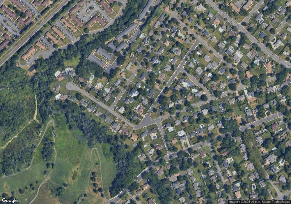
Map
Nearby Homes
- 1033 Cellar Ave Unit 1033
- 67 Brookside Terrace
- 172 Briarheath Ln
- 372 Willow Way
- 24 Woodland Rd
- 64 William St
- 8 Maddaket
- 8 Normandy Rd
- 131 Morningside Rd
- 1995 Winding Brook Way
- 34 E Prescott Ave
- 675 Raritan Rd Unit 12
- 39 Yarmouth Ct
- 27 Stemmer Dr
- 973 Ellis Pkwy
- 279 Madison Hill Rd
- 53 Jordan Rd
- 6 Tulip Ct
- 1840 Raritan Rd
- 868 Inman Ave
Your Personal Tour Guide
Ask me questions while you tour the home.