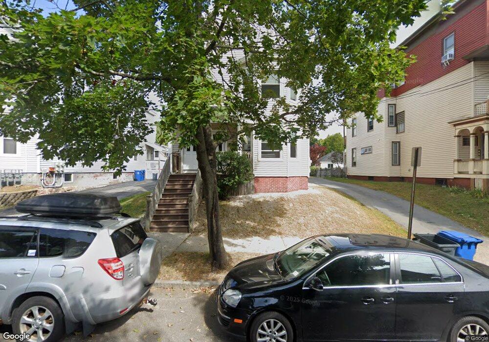
65 Roberts St Portland, ME 04102
Oakdale NeighborhoodEstimated Value: $707,000 - $911,000
8
Beds
3
Baths
2,928
Sq Ft
$270/Sq Ft
Est. Value
About This Home
This home is located at 65 Roberts St, Portland, ME 04102 and is currently estimated at $789,732, approximately $269 per square foot. 65 Roberts St is a home located in Cumberland County with nearby schools including Ocean Avenue Elementary School, King Middle School, and Baxter Academy for Tech & Sciences.
Ownership History
Date
Name
Owned For
Owner Type
Purchase Details
Closed on
Dec 19, 2019
Sold by
Bell Caleb C
Bought by
Bellre Roberts Llc
Current Estimated Value
Home Financials for this Owner
Home Financials are based on the most recent Mortgage that was taken out on this home.
Original Mortgage
$414,400
Outstanding Balance
$363,775
Interest Rate
3.6%
Mortgage Type
New Conventional
Estimated Equity
$425,957
Purchase Details
Closed on
Sep 18, 2013
Sold by
Nikki Rae Llc
Bought by
Bell 2Nd Caleb C
Create a Home Valuation Report for This Property
The Home Valuation Report is an in-depth analysis detailing your home's value as well as a comparison with similar homes in the area
Home Values in the Area
Average Home Value in this Area
Purchase History
| Date | Buyer | Sale Price | Title Company |
|---|---|---|---|
| Bellre Roberts Llc | -- | None Available | |
| Bell 2Nd Caleb C | -- | -- |
Source: Public Records
Mortgage History
| Date | Status | Borrower | Loan Amount |
|---|---|---|---|
| Open | Bellre Roberts Llc | $414,400 |
Source: Public Records
Tax History Compared to Growth
Tax History
| Year | Tax Paid | Tax Assessment Tax Assessment Total Assessment is a certain percentage of the fair market value that is determined by local assessors to be the total taxable value of land and additions on the property. | Land | Improvement |
|---|---|---|---|---|
| 2024 | $8,326 | $554,700 | $91,300 | $463,400 |
| 2023 | $7,993 | $554,700 | $91,300 | $463,400 |
| 2022 | $7,549 | $554,700 | $91,300 | $463,400 |
| 2021 | $7,206 | $554,700 | $91,300 | $463,400 |
| 2020 | $6,914 | $296,600 | $85,800 | $210,800 |
| 2019 | $6,914 | $296,600 | $85,800 | $210,800 |
| 2018 | $6,421 | $296,600 | $85,800 | $210,800 |
| 2017 | $6,421 | $296,600 | $85,800 | $210,800 |
| 2016 | $6,261 | $296,600 | $85,800 | $210,800 |
| 2015 | $6,119 | $296,600 | $85,800 | $210,800 |
| 2014 | $5,932 | $296,600 | $85,800 | $210,800 |
Source: Public Records
Map
Nearby Homes
- 61 Deane St
- 7 Cherry St
- 867 Congress St
- 232 Brighton Ave
- 34 Deering Ave
- 242 Valley St
- 103 Deerfield Rd
- 14 Baxter Blvd
- 65 Dougherty Ct Unit 203
- 65 Dougherty Ct Unit 104
- 296 Brighton Ave
- 48 Ashmont St
- 9 C St
- 24 Edwards St
- 773 Congress St Unit 3
- 6 Highland St
- 75 Sherman St
- 160 Craigie St
- 14 Mellen St Unit 1L
- 209 Vaughan St Unit 7