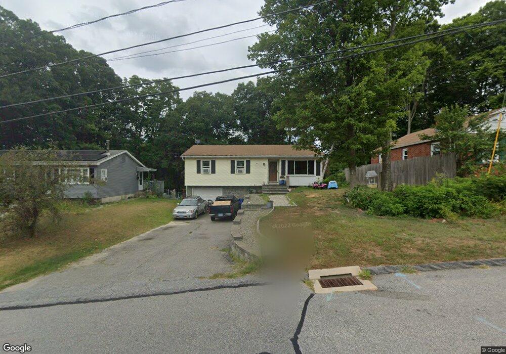
65 Rosen Ave Torrington, CT 06790
Estimated Value: $268,000 - $318,000
3
Beds
2
Baths
1,074
Sq Ft
$272/Sq Ft
Est. Value
About This Home
This home is located at 65 Rosen Ave, Torrington, CT 06790 and is currently estimated at $292,659, approximately $272 per square foot. 65 Rosen Ave is a home located in Litchfield County with nearby schools including Torrington Middle School, Torrington High School, and St. Peter School.
Ownership History
Date
Name
Owned For
Owner Type
Purchase Details
Closed on
Jan 21, 2005
Sold by
Moynihan Thomas K
Bought by
Wilson Martin and Wilson Bobbi Jo
Current Estimated Value
Home Financials for this Owner
Home Financials are based on the most recent Mortgage that was taken out on this home.
Original Mortgage
$133,600
Outstanding Balance
$67,274
Interest Rate
5.71%
Estimated Equity
$225,385
Purchase Details
Closed on
Jul 25, 1995
Sold by
Goddard David W and Goddard Judith M
Bought by
Moynihan Thomas K
Create a Home Valuation Report for This Property
The Home Valuation Report is an in-depth analysis detailing your home's value as well as a comparison with similar homes in the area
Home Values in the Area
Average Home Value in this Area
Purchase History
| Date | Buyer | Sale Price | Title Company |
|---|---|---|---|
| Wilson Martin | $167,000 | -- | |
| Moynihan Thomas K | $93,500 | -- |
Source: Public Records
Mortgage History
| Date | Status | Borrower | Loan Amount |
|---|---|---|---|
| Open | Moynihan Thomas K | $37,800 | |
| Open | Moynihan Thomas K | $133,600 | |
| Closed | Moynihan Thomas K | $25,050 |
Source: Public Records
Tax History
| Year | Tax Paid | Tax Assessment Tax Assessment Total Assessment is a certain percentage of the fair market value that is determined by local assessors to be the total taxable value of land and additions on the property. | Land | Improvement |
|---|---|---|---|---|
| 2025 | $6,618 | $172,130 | $23,800 | $148,330 |
| 2024 | $4,661 | $97,160 | $23,760 | $73,400 |
| 2023 | $4,660 | $97,160 | $23,760 | $73,400 |
| 2022 | $4,580 | $97,160 | $23,760 | $73,400 |
| 2021 | $3,780 | $81,870 | $23,760 | $58,110 |
| 2020 | $3,780 | $81,870 | $23,760 | $58,110 |
| 2019 | $3,797 | $82,250 | $29,190 | $53,060 |
| 2018 | $3,797 | $82,250 | $29,190 | $53,060 |
| 2017 | $3,763 | $82,250 | $29,190 | $53,060 |
| 2016 | $3,763 | $82,250 | $29,190 | $53,060 |
| 2015 | $3,763 | $82,250 | $29,190 | $53,060 |
| 2014 | $3,765 | $103,670 | $38,640 | $65,030 |
Source: Public Records
Map
Nearby Homes
- 340 Hillside Ave
- 238 Barton St
- 48 Maud St
- 19 Harwinton Ave
- 83 Birge St
- 291 E Main St
- 35 School St
- 195 Torrington Heights Rd
- 279 E Elm St
- 444 Prospect St
- 408 Main St
- 67 Amherst St
- 23 Hannah Way
- 14 Hannah Way
- 146 Highfield Dr
- 118 Pearl St
- 68 Wilson Ave Unit 105
- 47 Whiting Ave
- 00 Winthrop St & E Elm St
- 364 Park Ave
- 69 Rosen Ave
- 57 Rosen Ave
- 75 Rosen Ave
- 81 Rosen Ave
- 108 Pleasant St
- 87 Rosen Ave
- 56 Rosen Ave
- 96 Pleasant St
- 84 Pleasant St
- 183 Patterson St
- 175 Patterson St
- 84 Rosen Ave
- 194 Hillside Ave
- 38 Rosen Ave
- 226 Hillside Ave Unit 1
- 226 Hillside Ave
- 24 View St
- 188 Hillside Ave
- 80 Pleasant St
- 250 Hillside Ave
Your Personal Tour Guide
Ask me questions while you tour the home.