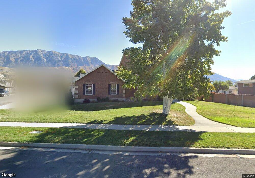
65 S Palisade Dr Orem, UT 84097
Riverside NeighborhoodEstimated Value: $782,000 - $806,000
6
Beds
4
Baths
3,309
Sq Ft
$240/Sq Ft
Est. Value
About This Home
This home is located at 65 S Palisade Dr, Orem, UT 84097 and is currently estimated at $794,151, approximately $239 per square foot. 65 S Palisade Dr is a home located in Utah County with nearby schools including Centennial Elementary, Canyon View Junior High School, and Orem High School.
Ownership History
Date
Name
Owned For
Owner Type
Purchase Details
Closed on
Feb 21, 2019
Sold by
Smith Wesley Dexter and Smith Diana Jean
Bought by
Smith Tracy and Smith Valerie
Current Estimated Value
Home Financials for this Owner
Home Financials are based on the most recent Mortgage that was taken out on this home.
Original Mortgage
$335,266
Outstanding Balance
$290,867
Interest Rate
3.87%
Mortgage Type
FHA
Estimated Equity
$503,284
Purchase Details
Closed on
Apr 27, 2015
Sold by
Weyland Jack A and Weyland Jacqueline P
Bought by
Smith Wesley Dexter and Smith Diana Jean
Home Financials for this Owner
Home Financials are based on the most recent Mortgage that was taken out on this home.
Original Mortgage
$260,400
Interest Rate
3.64%
Mortgage Type
New Conventional
Create a Home Valuation Report for This Property
The Home Valuation Report is an in-depth analysis detailing your home's value as well as a comparison with similar homes in the area
Home Values in the Area
Average Home Value in this Area
Purchase History
| Date | Buyer | Sale Price | Title Company |
|---|---|---|---|
| Smith Tracy | -- | First Ameriacn | |
| Smith Wesley Dexter | -- | Provo Land Title Co |
Source: Public Records
Mortgage History
| Date | Status | Borrower | Loan Amount |
|---|---|---|---|
| Open | Smith Tracy | $335,266 | |
| Closed | Smith Wesley Dexter | $260,400 |
Source: Public Records
Tax History
| Year | Tax Paid | Tax Assessment Tax Assessment Total Assessment is a certain percentage of the fair market value that is determined by local assessors to be the total taxable value of land and additions on the property. | Land | Improvement |
|---|---|---|---|---|
| 2025 | $2,978 | $392,480 | -- | -- |
| 2024 | $2,978 | $364,100 | $0 | $0 |
| 2023 | $2,810 | $369,325 | $0 | $0 |
| 2022 | $2,742 | $349,140 | $0 | $0 |
| 2021 | $2,577 | $497,000 | $214,900 | $282,100 |
| 2020 | $2,352 | $445,800 | $171,900 | $273,900 |
| 2019 | $2,081 | $410,100 | $171,900 | $238,200 |
| 2018 | $2,013 | $379,000 | $171,900 | $207,100 |
| 2017 | $1,971 | $198,825 | $0 | $0 |
| 2016 | $2,096 | $194,975 | $0 | $0 |
| 2015 | $2,128 | $187,220 | $0 | $0 |
| 2014 | $1,880 | $164,670 | $0 | $0 |
Source: Public Records
Map
Nearby Homes
Your Personal Tour Guide
Ask me questions while you tour the home.