Studio
--
Bath
3,709
Sq Ft
22,651
Sq Ft Lot
About This Home
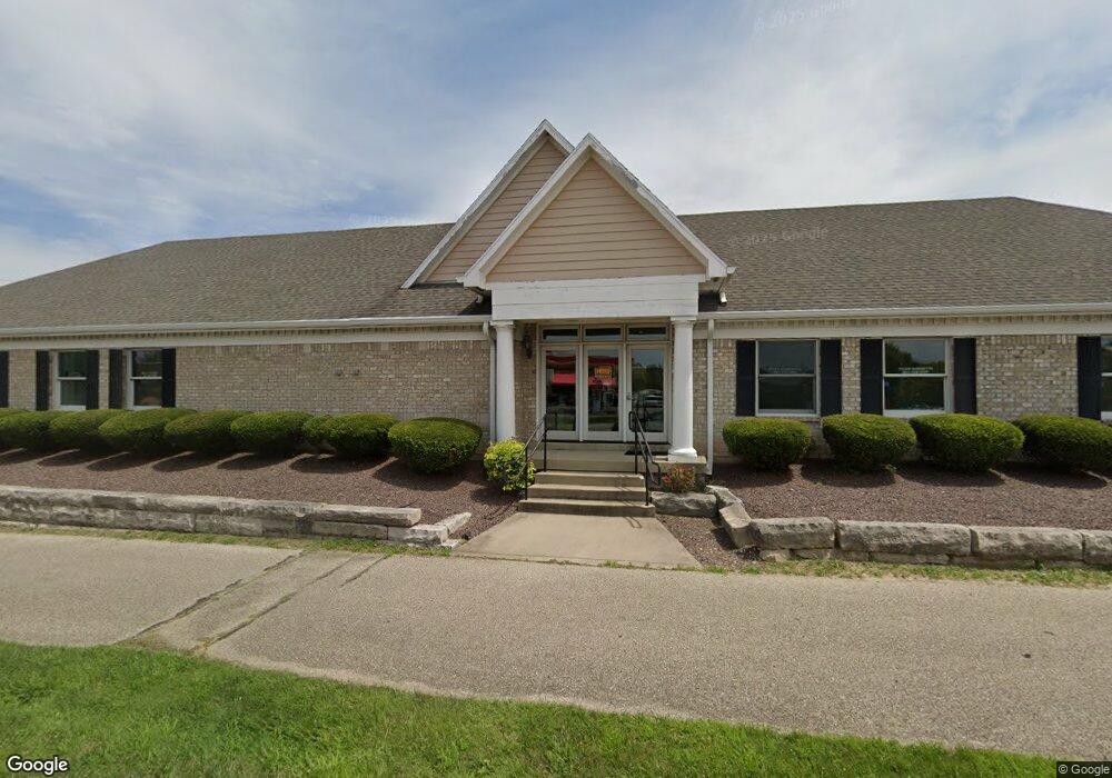
This home is located at 65 S Progress Dr, Xenia, OH 45385. 65 S Progress Dr is a home located in Greene County with nearby schools including Xenia High School, Summit Academy Community School for Alternative Learners - Xenia, and Legacy Christian Academy.
Ownership History
Date
Name
Owned For
Owner Type
Purchase Details
Closed on
Dec 19, 2018
Sold by
Old Fort Banking Co
Bought by
Beavercreek A B Real Estate Llc
Home Financials for this Owner
Home Financials are based on the most recent Mortgage that was taken out on this home.
Original Mortgage
$276,000
Outstanding Balance
$241,278
Interest Rate
4.9%
Mortgage Type
Commercial
Purchase Details
Closed on
Sep 15, 2014
Sold by
Arnold Robert M
Bought by
The Old Fort Banking Co
Purchase Details
Closed on
Aug 5, 2014
Sold by
Arnold Tara L
Bought by
Arnold Robert M
Purchase Details
Closed on
May 29, 1998
Sold by
Progress Center Ltd
Bought by
Arnold Robert M and Arnold Tara L
Home Financials for this Owner
Home Financials are based on the most recent Mortgage that was taken out on this home.
Original Mortgage
$316,000
Interest Rate
7.27%
Mortgage Type
Construction
Create a Home Valuation Report for This Property
The Home Valuation Report is an in-depth analysis detailing your home's value as well as a comparison with similar homes in the area
Home Values in the Area
Average Home Value in this Area
Purchase History
| Date | Buyer | Sale Price | Title Company |
|---|---|---|---|
| Beavercreek A B Real Estate Llc | $345,000 | Hbi Title Services Inc | |
| The Old Fort Banking Co | $313,500 | None Available | |
| Arnold Robert M | -- | None Available | |
| Arnold Robert M | $77,000 | -- |
Source: Public Records
Mortgage History
| Date | Status | Borrower | Loan Amount |
|---|---|---|---|
| Open | Beavercreek A B Real Estate Llc | $276,000 | |
| Previous Owner | Arnold Robert M | $316,000 |
Source: Public Records
Tax History
| Year | Tax Paid | Tax Assessment Tax Assessment Total Assessment is a certain percentage of the fair market value that is determined by local assessors to be the total taxable value of land and additions on the property. | Land | Improvement |
|---|---|---|---|---|
| 2025 | $7,443 | $144,370 | $49,250 | $95,120 |
| 2024 | $7,443 | $144,370 | $49,250 | $95,120 |
| 2023 | $7,314 | $144,370 | $49,250 | $95,120 |
| 2022 | $8,143 | $136,810 | $49,250 | $87,560 |
| 2021 | $8,269 | $136,810 | $49,250 | $87,560 |
| 2020 | $7,621 | $136,810 | $49,250 | $87,560 |
| 2019 | $7,621 | $125,940 | $42,080 | $83,860 |
| 2018 | $7,687 | $125,940 | $42,080 | $83,860 |
| 2017 | $7,814 | $125,940 | $42,080 | $83,860 |
| 2016 | $7,815 | $126,940 | $42,080 | $84,860 |
| 2015 | $7,840 | $126,940 | $42,080 | $84,860 |
| 2014 | $7,573 | $126,940 | $42,080 | $84,860 |
Source: Public Records
Map
Nearby Homes
- 1529 Bowman Dr
- 212 Robert Ln
- 190 Cato Dr
- 1577 W 2nd St
- 1407 Navajo Dr
- 1330 Kylemore Dr
- 1351 Omard Dr
- 1408 W 2nd St
- 1331 Raybell Dr
- 1540 Crockett Ct
- 1173 Stewart Ave
- 1632 Otoole Dr
- 1146 Stewart Ave
- 113 Poe Ln
- 779 Buckskin Trail
- 1030 Stewart Ave
- 1731 Navajo Dr
- 1715 Sioux Dr
- 1772 Pueblo Dr
- 2015 Pennsylvania Dr
Your Personal Tour Guide
Ask me questions while you tour the home.