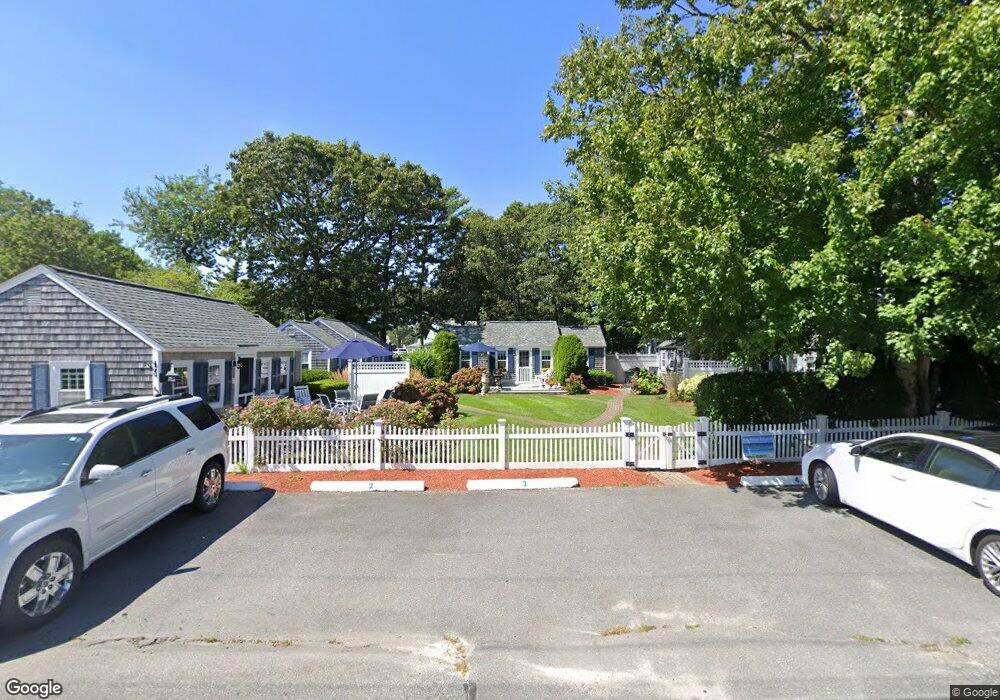
65 Sea St Unit 3 Dennis Port, MA 02639
Dennis Port NeighborhoodEstimated Value: $401,000 - $506,490
2
Beds
1
Bath
800
Sq Ft
$579/Sq Ft
Est. Value
About This Home
This home is located at 65 Sea St Unit 3, Dennis Port, MA 02639 and is currently estimated at $462,873, approximately $578 per square foot. 65 Sea St Unit 3 is a home located in Barnstable County with nearby schools including Dennis-Yarmouth Regional High School and St. Pius X. School.
Ownership History
Date
Name
Owned For
Owner Type
Purchase Details
Closed on
Aug 28, 2018
Sold by
Barry Stella
Bought by
Creta Michael D and Creta Jane F
Current Estimated Value
Home Financials for this Owner
Home Financials are based on the most recent Mortgage that was taken out on this home.
Original Mortgage
$115,000
Outstanding Balance
$99,665
Interest Rate
4.5%
Mortgage Type
New Conventional
Estimated Equity
$363,208
Purchase Details
Closed on
Apr 18, 2017
Sold by
Puskar Mary F and Puskar Frank J
Bought by
River View Manor East
Purchase Details
Closed on
Mar 1, 2017
Sold by
Stevens Arthur L and Stevens Barbara H
Bought by
Torok Michael and Torok Sara
Purchase Details
Closed on
Jan 23, 2017
Sold by
Ms Ocean View Llc
Bought by
Kujala Rocco J and Kujala Marilyn
Purchase Details
Closed on
Apr 20, 2016
Sold by
Ms Ocean View Llc
Bought by
Goodwin Julie E and Stygles Arianna M
Home Financials for this Owner
Home Financials are based on the most recent Mortgage that was taken out on this home.
Original Mortgage
$352,721
Interest Rate
3%
Mortgage Type
New Conventional
Purchase Details
Closed on
Dec 1, 2015
Sold by
Ms Ocean View Llc
Bought by
Milinazzo David and Addonizio-Milinazzo Anna
Purchase Details
Closed on
Nov 6, 2015
Sold by
Roubian Edward J and Roubian Susan M
Bought by
Roubian T T and Roubian R
Purchase Details
Closed on
Nov 4, 2015
Sold by
Ms Ocean View Llc
Bought by
Walsh Paul
Purchase Details
Closed on
Mar 31, 2006
Sold by
Lewis Susan Ryder and Lewis Jeffery C
Bought by
Roubian Edward J and Roubian Susan M
Create a Home Valuation Report for This Property
The Home Valuation Report is an in-depth analysis detailing your home's value as well as a comparison with similar homes in the area
Home Values in the Area
Average Home Value in this Area
Purchase History
| Date | Buyer | Sale Price | Title Company |
|---|---|---|---|
| Creta Michael D | $219,500 | -- | |
| River View Manor East | -- | -- | |
| River View Manor East | -- | -- | |
| Torok Michael | $825,000 | -- | |
| Torok Michael | $825,000 | -- | |
| Kujala Rocco J | $1,278,433 | -- | |
| Kujala Rocco J | $1,278,433 | -- | |
| Goodwin Julie E | $471,091 | -- | |
| Goodwin Julie E | $471,091 | -- | |
| Milinazzo David | $651,675 | -- | |
| Milinazzo David | $651,675 | -- | |
| Roubian T T | -- | -- | |
| Walsh Paul | $448,524 | -- | |
| Walsh Paul | $448,524 | -- | |
| Roubian Edward J | $252,000 | -- | |
| Roubian Edward J | $252,000 | -- |
Source: Public Records
Mortgage History
| Date | Status | Borrower | Loan Amount |
|---|---|---|---|
| Open | Creta Michael D | $115,000 | |
| Previous Owner | Goodwin Julie E | $352,721 | |
| Previous Owner | Roubian Edward J | $180,000 |
Source: Public Records
Tax History Compared to Growth
Tax History
| Year | Tax Paid | Tax Assessment Tax Assessment Total Assessment is a certain percentage of the fair market value that is determined by local assessors to be the total taxable value of land and additions on the property. | Land | Improvement |
|---|---|---|---|---|
| 2025 | $2,175 | $502,400 | $0 | $502,400 |
| 2024 | $1,799 | $409,900 | $0 | $409,900 |
| 2023 | $1,569 | $336,000 | $0 | $336,000 |
| 2022 | $1,518 | $271,000 | $0 | $271,000 |
| 2021 | $1,472 | $244,100 | $0 | $244,100 |
| 2020 | $1,446 | $237,100 | $0 | $237,100 |
| 2019 | $1,439 | $233,300 | $0 | $233,300 |
| 2018 | $1,410 | $222,400 | $0 | $222,400 |
| 2017 | $1,368 | $222,400 | $0 | $222,400 |
| 2016 | $1,339 | $205,100 | $0 | $205,100 |
| 2015 | $1,313 | $205,100 | $0 | $205,100 |
| 2014 | $1,302 | $205,100 | $0 | $205,100 |
Source: Public Records
Map
Nearby Homes
- 22 Ferncliff Rd
- 102 Sea St
- 37-A Beach Hills Rd
- 37 Beach Hills Rd
- 402 Old Wharf Rd
- 402 Old Wharf Rd
- 262 Old Wharf Rd Unit 67
- 262 Old Wharf Rd Unit 5
- 262 Old Wharf Rd Unit 5
- 262 Old Wharf Rd Unit 20
- 262 Old Wharf Rd Unit 87
- 405 Old Wharf Rd Unit B204
- 405 Old Wharf Rd Unit B204
- 241 Old Wharf Rd Unit 82
- 241 Old Wharf Rd Unit 127
- 241 Old Wharf Rd Unit 90
- 9 Chase Ave Unit 6
- 11 Ocean Park W
- 217 Old Wharf Rd Unit 64
- 31 Easy St