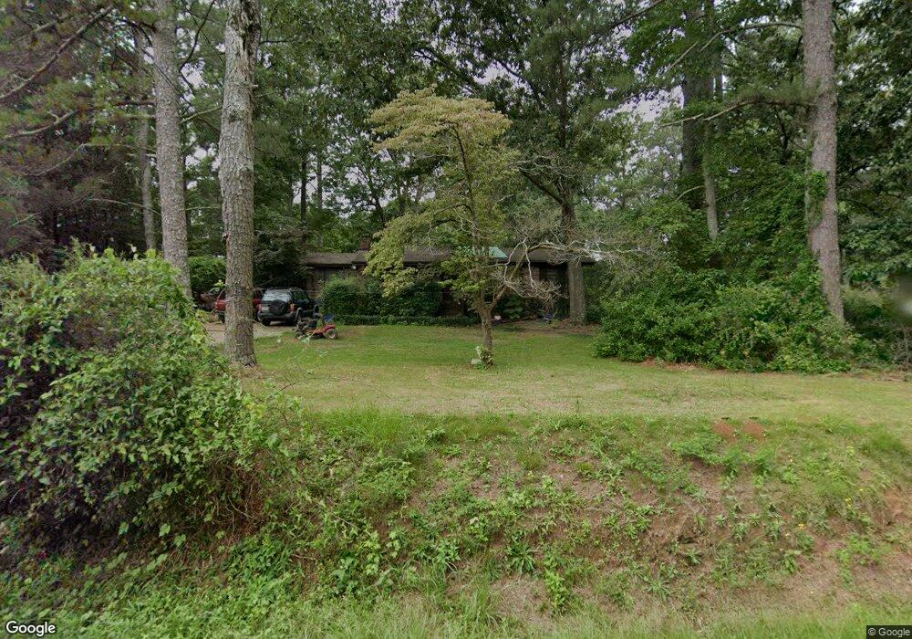
65 Sears Rd Covington, GA 30016
Estimated Value: $203,840 - $233,000
3
Beds
1
Bath
1,502
Sq Ft
$145/Sq Ft
Est. Value
About This Home
This home is located at 65 Sears Rd, Covington, GA 30016 and is currently estimated at $217,960, approximately $145 per square foot. 65 Sears Rd is a home located in Newton County with nearby schools including South Salem Elementary School, Liberty Middle School, and Newton High School.
Ownership History
Date
Name
Owned For
Owner Type
Purchase Details
Closed on
Apr 19, 2022
Sold by
Roach Theresa
Bought by
Green Willie G
Current Estimated Value
Purchase Details
Closed on
Feb 25, 2011
Sold by
Wood Robert E
Bought by
Roach Theresa
Purchase Details
Closed on
Sep 6, 2002
Sold by
Martin Rodney S
Bought by
Wood Robert E
Home Financials for this Owner
Home Financials are based on the most recent Mortgage that was taken out on this home.
Original Mortgage
$86,541
Interest Rate
6.4%
Mortgage Type
New Conventional
Create a Home Valuation Report for This Property
The Home Valuation Report is an in-depth analysis detailing your home's value as well as a comparison with similar homes in the area
Home Values in the Area
Average Home Value in this Area
Purchase History
| Date | Buyer | Sale Price | Title Company |
|---|---|---|---|
| Green Willie G | -- | -- | |
| Roach Theresa | $30,000 | -- | |
| Wood Robert E | $87,900 | -- |
Source: Public Records
Mortgage History
| Date | Status | Borrower | Loan Amount |
|---|---|---|---|
| Previous Owner | Wood Robert E | $86,541 |
Source: Public Records
Tax History
| Year | Tax Paid | Tax Assessment Tax Assessment Total Assessment is a certain percentage of the fair market value that is determined by local assessors to be the total taxable value of land and additions on the property. | Land | Improvement |
|---|---|---|---|---|
| 2025 | $770 | $73,720 | $18,000 | $55,720 |
| 2024 | $709 | $69,560 | $12,800 | $56,760 |
| 2023 | $851 | $60,360 | $10,000 | $50,360 |
| 2022 | $1,247 | $45,960 | $7,200 | $38,760 |
| 2021 | $1,294 | $42,680 | $4,800 | $37,880 |
| 2020 | $1,185 | $35,280 | $4,800 | $30,480 |
| 2019 | $1,247 | $36,560 | $4,800 | $31,760 |
| 2018 | $522 | $30,400 | $4,800 | $25,600 |
| 2017 | $961 | $28,000 | $4,800 | $23,200 |
| 2016 | $692 | $20,160 | $3,800 | $16,360 |
| 2015 | $669 | $19,480 | $3,400 | $16,080 |
| 2014 | $465 | $13,600 | $0 | $0 |
Source: Public Records
Map
Nearby Homes
- 145 Sears Cir
- 5056 Salem Rd
- 95 Forray Dr
- 95 Randette Dr
- 1295 Mills Cove Dr
- 4927 Salem Rd
- 444 McGiboney Rd Unit 1
- 12462 Brown Bridge Rd
- 50 Amberjack Trail
- 40 Willow Tree Terrace
- 30 Vermillion Way
- 430 Fox Meadow Dr
- 160 Wisteria Blvd
- 300 Brickstone Pkwy
- 45 Robertford Dr
- 4681 Salem Rd
- 164 Mary Jane Ln
- 125 Buck Creek Dr
- 123 Cowan Rd
- 41 Woodland Rd
Your Personal Tour Guide
Ask me questions while you tour the home.