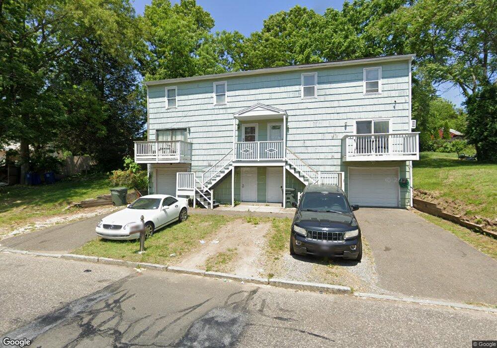
65 Seltsam Rd Bridgeport, CT 06606
Reservoir-Whiskey Hill NeighborhoodEstimated Value: $281,000 - $438,000
3
Beds
2
Baths
1,368
Sq Ft
$248/Sq Ft
Est. Value
About This Home
This home is located at 65 Seltsam Rd, Bridgeport, CT 06606 and is currently estimated at $338,966, approximately $247 per square foot. 65 Seltsam Rd is a home located in Fairfield County with nearby schools including Hallen School, Central High School, and Northeastern Adventist Academy - Fairfield County.
Ownership History
Date
Name
Owned For
Owner Type
Purchase Details
Closed on
Oct 3, 2005
Sold by
Woolery Michae
Bought by
Grant Lloyd
Current Estimated Value
Home Financials for this Owner
Home Financials are based on the most recent Mortgage that was taken out on this home.
Original Mortgage
$152,000
Interest Rate
6.65%
Purchase Details
Closed on
Mar 11, 1998
Sold by
Kintoye A and Ejah Bridget C
Bought by
Wollery Michael
Create a Home Valuation Report for This Property
The Home Valuation Report is an in-depth analysis detailing your home's value as well as a comparison with similar homes in the area
Home Values in the Area
Average Home Value in this Area
Purchase History
| Date | Buyer | Sale Price | Title Company |
|---|---|---|---|
| Grant Lloyd | $190,000 | -- | |
| Grant Lloyd | $190,000 | -- | |
| Wollery Michael | $84,000 | -- | |
| Wollery Michael | $84,000 | -- |
Source: Public Records
Mortgage History
| Date | Status | Borrower | Loan Amount |
|---|---|---|---|
| Open | Wollery Michael | $184,000 | |
| Closed | Wollery Michael | $152,000 |
Source: Public Records
Tax History Compared to Growth
Tax History
| Year | Tax Paid | Tax Assessment Tax Assessment Total Assessment is a certain percentage of the fair market value that is determined by local assessors to be the total taxable value of land and additions on the property. | Land | Improvement |
|---|---|---|---|---|
| 2025 | $5,696 | $131,102 | $25,552 | $105,550 |
| 2024 | $5,696 | $131,102 | $25,552 | $105,550 |
| 2023 | $5,696 | $131,102 | $25,552 | $105,550 |
| 2022 | $5,696 | $131,102 | $25,552 | $105,550 |
| 2021 | $5,696 | $131,102 | $25,552 | $105,550 |
| 2020 | $4,266 | $79,020 | $14,710 | $64,310 |
| 2019 | $4,266 | $79,020 | $14,710 | $64,310 |
| 2018 | $4,296 | $79,020 | $14,710 | $64,310 |
| 2017 | $4,296 | $79,020 | $14,710 | $64,310 |
| 2016 | $4,296 | $79,020 | $14,710 | $64,310 |
| 2015 | $4,363 | $103,400 | $16,870 | $86,530 |
| 2014 | $4,363 | $103,400 | $16,870 | $86,530 |
Source: Public Records
Map
Nearby Homes
- 769 Sylvan Ave Unit 16
- 769 Sylvan Ave Unit 13
- 28 Wilkins Ave
- 15 Edwards St
- 110 Wilkins Ave
- 130 Wilkins Ave
- 45 Polk St
- 1053 Sylvan Ave
- 717 Reservoir Ave
- 705 Reservoir Ave
- 1088 Sylvan Ave
- 16 Oakdale St
- 385 Chamberlain Ave
- 355 Chamberlain Ave
- 245 Indian Ave
- 235 Indian Ave
- 149 Edna Ave Unit 153
- 217 Hillcrest Rd
- 36 Platt St
- 438 Soundview Ave
- 67 Seltsam Rd
- 636 Sylvan Ave
- 646 Sylvan Ave
- 79 Seltsam Rd
- 624 Sylvan Ave
- 91 Seltsam Rd
- 664 Sylvan Ave
- 674 Sylvan Ave
- 29 Eric St
- 43 Eric St
- 109 Seltsam Rd
- 686 Sylvan Ave
- 719 Sylvan Ave
- 645 Sylvan Ave
- 661 Sylvan Ave
- 677 Sylvan #111 Ave Unit 111
- 677 Sylvan #312 Ave Unit 312
- 677 Sylvan #215 Ave Unit 215
- 677 Sylvan #109 Ave Unit 109
- 677 Sylvan #203 Ave Unit 203