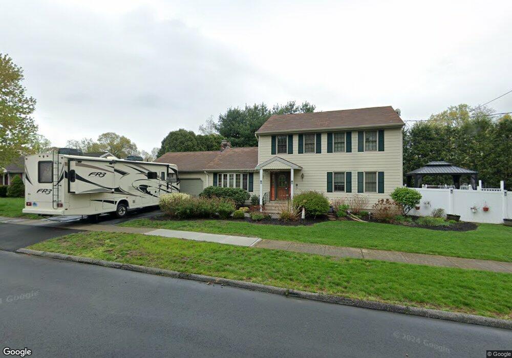
65 Sheffield Cir Stratford, CT 06614
Estimated Value: $655,000 - $736,000
3
Beds
4
Baths
2,526
Sq Ft
$276/Sq Ft
Est. Value
About This Home
This home is located at 65 Sheffield Cir, Stratford, CT 06614 and is currently estimated at $696,348, approximately $275 per square foot. 65 Sheffield Cir is a home located in Fairfield County with nearby schools including Eli Whitney Elementary School, Harry B. Flood Middle School, and Bunnell High School.
Ownership History
Date
Name
Owned For
Owner Type
Purchase Details
Closed on
May 4, 1998
Sold by
Fedornak Michael and Fedornak Mary
Bought by
Barcia Anthony and Barcia Linda
Current Estimated Value
Home Financials for this Owner
Home Financials are based on the most recent Mortgage that was taken out on this home.
Original Mortgage
$181,600
Interest Rate
7.04%
Mortgage Type
Unknown
Create a Home Valuation Report for This Property
The Home Valuation Report is an in-depth analysis detailing your home's value as well as a comparison with similar homes in the area
Home Values in the Area
Average Home Value in this Area
Purchase History
| Date | Buyer | Sale Price | Title Company |
|---|---|---|---|
| Barcia Anthony | $227,000 | -- |
Source: Public Records
Mortgage History
| Date | Status | Borrower | Loan Amount |
|---|---|---|---|
| Open | Barcia Anthony | $229,980 | |
| Closed | Barcia Anthony | $181,600 | |
| Previous Owner | Barcia Anthony | $175,000 | |
| Previous Owner | Barcia Anthony | $173,000 |
Source: Public Records
Tax History Compared to Growth
Tax History
| Year | Tax Paid | Tax Assessment Tax Assessment Total Assessment is a certain percentage of the fair market value that is determined by local assessors to be the total taxable value of land and additions on the property. | Land | Improvement |
|---|---|---|---|---|
| 2025 | $11,900 | $296,030 | $104,860 | $191,170 |
| 2024 | $11,900 | $296,030 | $104,860 | $191,170 |
| 2023 | $11,900 | $296,030 | $104,860 | $191,170 |
| 2022 | $11,681 | $296,030 | $104,860 | $191,170 |
| 2021 | $11,684 | $296,030 | $104,860 | $191,170 |
| 2020 | $11,735 | $296,030 | $104,860 | $191,170 |
| 2019 | $11,133 | $279,230 | $88,270 | $190,960 |
| 2018 | $11,141 | $279,230 | $88,270 | $190,960 |
| 2017 | $11,161 | $279,230 | $88,270 | $190,960 |
| 2016 | $10,887 | $279,230 | $88,270 | $190,960 |
| 2015 | $10,326 | $279,230 | $88,270 | $190,960 |
| 2014 | $10,326 | $289,800 | $100,030 | $189,770 |
Source: Public Records
Map
Nearby Homes
- 80 Sheffield Cir
- 135 Wigwam Ln
- 1314 Huntington Rd
- 1250 Huntington Rd
- 175 Post Oak Rd
- 80 Wilbrook Rd
- 165 Douglas St
- 735 Chickadee Ln
- 30 Bulmer Dr
- 410 Seabreeze Dr
- 246 Delaware Dr
- 75 Tucci Dr
- 771 Connors Ln
- 717 Hawley Glen Unit 18
- 145 Dahl Ave
- 1053 Cutspring Rd
- 1618 Nichols Ave
- 290 Hollywood Ave
- 700 Huntington Rd
- 15 Tavern Rock Rd
- 80 Sheffield Dr
- 25 Sheffield Cir
- 105 Sheffield Cir
- 100 Sheffield Dr
- 100 Sheffield Cir
- 60 Sheffield Cir
- 40 Sheffield Cir
- 145 Overland Dr
- 125 Sheffield Cir
- 85 Sheffield Dr
- 65 Sheffield Dr
- 85 Overland Dr
- 120 Sheffield Dr
- 20 Sheffield Cir
- 105 Sheffield Dr
- 45 Sheffield Dr
- 355 Luanne Rd
- 185 Overland Dr
- 125 Sheffield Dr
- 145 Sheffield Cir