65 Springettes Rd Chebeague Island, ME 04017
Chebeague Island NeighborhoodEstimated Value: $849,000 - $2,054,125
--
Bed
--
Bath
--
Sq Ft
1.27
Acres
About This Home
This home is located at 65 Springettes Rd, Chebeague Island, ME 04017 and is currently estimated at $1,451,563. 65 Springettes Rd is a home with nearby schools including Chebeague Island School, Mabel I. Wilson School, and Greely Middle School 4-5.
Ownership History
Date
Name
Owned For
Owner Type
Purchase Details
Closed on
Jun 29, 2020
Sold by
Polacsek Michele and Benson Jeffrey A
Bought by
Manegold David and Mainegold Julie N
Current Estimated Value
Home Financials for this Owner
Home Financials are based on the most recent Mortgage that was taken out on this home.
Original Mortgage
$510,000
Outstanding Balance
$453,073
Interest Rate
3.2%
Mortgage Type
New Conventional
Estimated Equity
$998,490
Purchase Details
Closed on
Nov 15, 2005
Sold by
David C Perkins T C and David Perkins
Bought by
Perkins David G and Perkins Beverly A
Create a Home Valuation Report for This Property
The Home Valuation Report is an in-depth analysis detailing your home's value as well as a comparison with similar homes in the area
Home Values in the Area
Average Home Value in this Area
Purchase History
| Date | Buyer | Sale Price | Title Company |
|---|---|---|---|
| Manegold David | -- | None Available | |
| Perkins David G | -- | -- |
Source: Public Records
Mortgage History
| Date | Status | Borrower | Loan Amount |
|---|---|---|---|
| Open | Manegold David | $510,000 |
Source: Public Records
Tax History Compared to Growth
Tax History
| Year | Tax Paid | Tax Assessment Tax Assessment Total Assessment is a certain percentage of the fair market value that is determined by local assessors to be the total taxable value of land and additions on the property. | Land | Improvement |
|---|---|---|---|---|
| 2024 | $10,860 | $1,013,100 | $582,900 | $430,200 |
| 2023 | $10,030 | $1,013,100 | $582,900 | $430,200 |
| 2022 | $9,850 | $788,000 | $453,400 | $334,600 |
| 2021 | $9,321 | $703,500 | $404,800 | $298,700 |
| 2020 | $9,321 | $703,500 | $404,800 | $298,700 |
| 2019 | $9,288 | $562,900 | $323,900 | $239,000 |
| 2018 | $9,283 | $562,600 | $323,900 | $238,700 |
| 2016 | $9,148 | $559,500 | $323,900 | $235,600 |
Source: Public Records
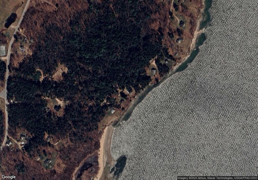
Map
Nearby Homes
- Lot 2 Buxhill Blvd
- 9 Central Landing Rd
- 471 South Rd Unit B
- 471 South Rd Unit A
- 9 Broad Reach Rd
- Lot#8C North Rd
- 460 South Rd
- 184 John Small Rd
- 92 Spruce Point Rd
- 87 Wharf Rd
- 51 Oakland Ave
- 184 Spruce Point Rd
- 61 Sawyer Rd
- 305 Church Rd
- 24 Daybreak Ln
- 6 Kane Ln
- 8 & 2 Kane Ln
- 189 Basin Point Rd
- Lot 773 Magnolia Vine
- 25 Basin Cove Rd