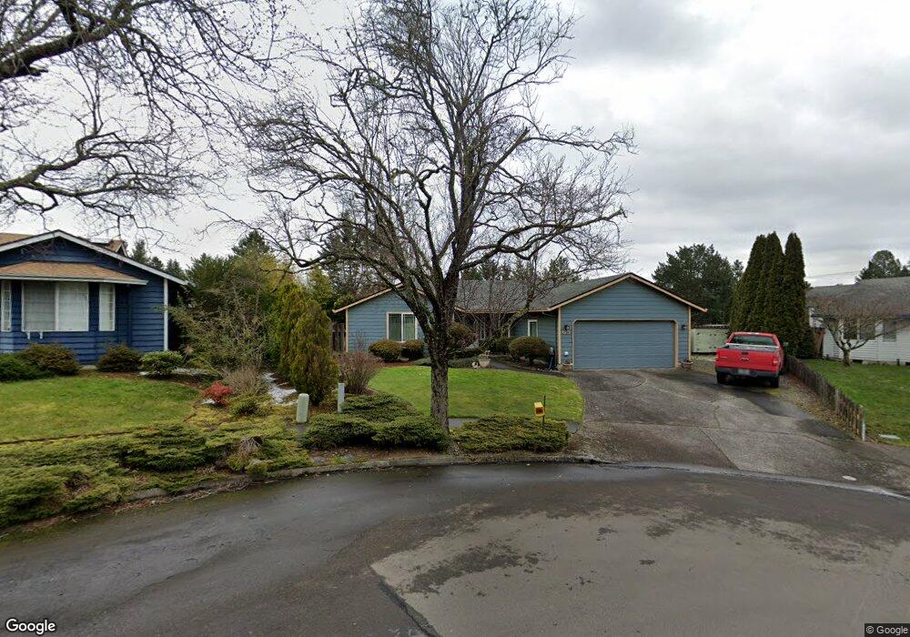
65 SW 25th Cir Troutdale, OR 97060
Sunrise NeighborhoodEstimated Value: $447,000 - $467,000
3
Beds
2
Baths
1,228
Sq Ft
$370/Sq Ft
Est. Value
About This Home
This home is located at 65 SW 25th Cir, Troutdale, OR 97060 and is currently estimated at $454,301, approximately $369 per square foot. 65 SW 25th Cir is a home located in Multnomah County with nearby schools including Sweetbriar Elementary School, Walt Morey Middle School, and Reynolds High School.
Ownership History
Date
Name
Owned For
Owner Type
Purchase Details
Closed on
Mar 20, 2001
Sold by
Rock Daniel S
Bought by
Smith Sharon K
Current Estimated Value
Home Financials for this Owner
Home Financials are based on the most recent Mortgage that was taken out on this home.
Original Mortgage
$120,400
Outstanding Balance
$43,132
Interest Rate
6.97%
Mortgage Type
Purchase Money Mortgage
Estimated Equity
$411,169
Purchase Details
Closed on
Sep 28, 1995
Sold by
Whiles Vinton A
Bought by
Rock Daniel S and Rock Teresa H
Home Financials for this Owner
Home Financials are based on the most recent Mortgage that was taken out on this home.
Original Mortgage
$110,250
Interest Rate
5.8%
Mortgage Type
Purchase Money Mortgage
Create a Home Valuation Report for This Property
The Home Valuation Report is an in-depth analysis detailing your home's value as well as a comparison with similar homes in the area
Home Values in the Area
Average Home Value in this Area
Purchase History
| Date | Buyer | Sale Price | Title Company |
|---|---|---|---|
| Smith Sharon K | $150,500 | Chicago Title | |
| Rock Daniel S | $122,500 | Chicago Title |
Source: Public Records
Mortgage History
| Date | Status | Borrower | Loan Amount |
|---|---|---|---|
| Open | Smith Sharon K | $120,400 | |
| Previous Owner | Rock Daniel S | $110,250 |
Source: Public Records
Tax History Compared to Growth
Tax History
| Year | Tax Paid | Tax Assessment Tax Assessment Total Assessment is a certain percentage of the fair market value that is determined by local assessors to be the total taxable value of land and additions on the property. | Land | Improvement |
|---|---|---|---|---|
| 2025 | $4,089 | $220,830 | -- | -- |
| 2024 | $3,865 | $214,400 | -- | -- |
| 2023 | $3,764 | $208,160 | $0 | $0 |
| 2022 | $3,674 | $202,100 | $0 | $0 |
| 2021 | $3,588 | $196,220 | $0 | $0 |
| 2020 | $3,355 | $190,510 | $0 | $0 |
| 2019 | $3,221 | $184,970 | $0 | $0 |
| 2018 | $3,199 | $179,590 | $0 | $0 |
| 2017 | $3,192 | $174,360 | $0 | $0 |
| 2016 | $3,086 | $169,290 | $0 | $0 |
| 2015 | $3,009 | $164,360 | $0 | $0 |
| 2014 | $2,926 | $159,580 | $0 | $0 |
Source: Public Records
Map
Nearby Homes
- 2154 SE Sandy Ct
- 2511 S Troutdale Rd
- 665 SW 24th St
- 2020 SW Laura Ct
- 2505 SE Clark Ct
- 2521 SE Clark Ct
- 1019 SE 27th St
- 724 SW 28th St
- 1021 SW 24th St
- 1129 SE 26th St
- 216 SE 34th Cir
- 839 SW Grant Way
- 3205 SE Hampton Loop
- 2846 SW Faith Ct
- 3512 SE Harlow Ct
- 1226 SW Hensley Rd
- 821 SW 14th St
- 1427 SW 24th St
- 3717 SE Stott Ct
- 1330 SW 28th St Unit 1332
- 45 SW 25th Cir
- 2410 SW Spence Ct
- 85 SW 25th Cir
- 2417 SW Spence Ct
- 2402 SW Spence Ct
- 46 SW 25th Cir
- 101 SW 25th Cir
- 66 SW 25th Cir
- 86 SW 25th Cir
- 2405 SW Spence Ct
- 2336 SW Spence Ct
- 2474 SE Beaver Creek Ln
- 121 SW 25th Cir
- 102 SW 25th Cir
- 2331 SW Spence Ct
- 2328 SW Spence Ct
- 2424 SW Corbeth Ln
- 2335 SE Harlow Ave
- 120 SW 25th Cir
- 2416 SW Corbeth Ln