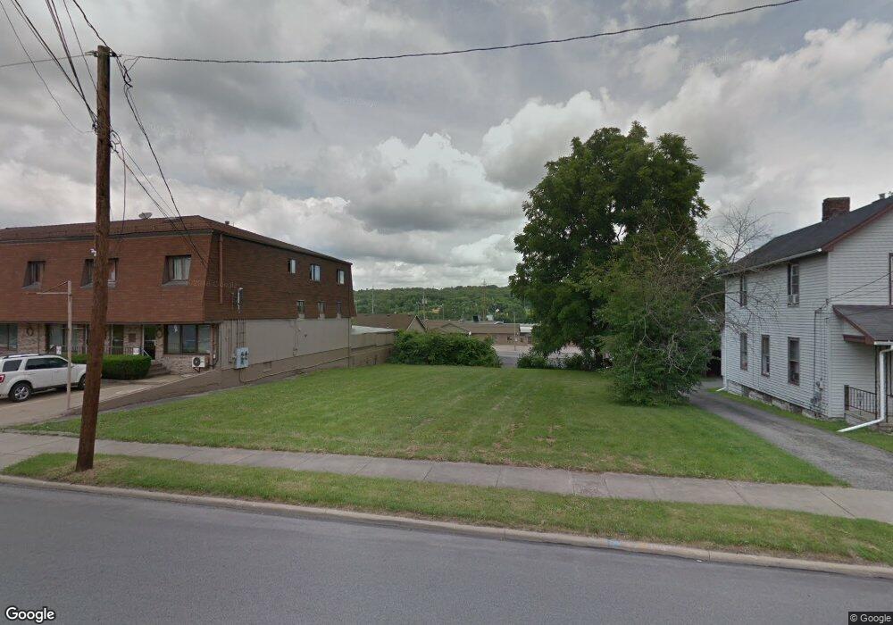
65 Terrace St Struthers, OH 44471
Estimated Value: $64,047 - $151,000
Studio
1
Bath
--
Sq Ft
9,017
Sq Ft
About This Home
This home is located at 65 Terrace St, Struthers, OH 44471 and is currently estimated at $107,012. 65 Terrace St is a home located in Mahoning County with nearby schools including Struthers Elementary School, Struthers Middle School, and Struthers High School.
Ownership History
Date
Name
Owned For
Owner Type
Purchase Details
Closed on
Mar 12, 2021
Bought by
S&G Family Enterprises
Current Estimated Value
Purchase Details
Closed on
Oct 17, 2014
Sold by
Jiryes Llc
Bought by
Mahoning County Land Reutilization Corpo
Purchase Details
Closed on
Jan 24, 2007
Sold by
Defrank Angelo
Bought by
Mansour George
Purchase Details
Closed on
Nov 25, 2003
Sold by
Polansky Michelle Anne and Gaul John William
Bought by
Defrank Angelo
Purchase Details
Closed on
Sep 25, 2003
Sold by
Estate Of Joyce Gaul
Bought by
Polansky Michelle Anne and Gaul John William
Purchase Details
Closed on
Mar 21, 1985
Bought by
Gaul Joyce
Create a Home Valuation Report for This Property
The Home Valuation Report is an in-depth analysis detailing your home's value as well as a comparison with similar homes in the area
Home Values in the Area
Average Home Value in this Area
Purchase History
| Date | Buyer | Sale Price | Title Company |
|---|---|---|---|
| S&G Family Enterprises | -- | -- | |
| Mahoning County Land Reutilization Corpo | -- | Attorney | |
| Mansour George | $33,000 | Commonwealth | |
| Defrank Angelo | $16,000 | -- | |
| Polansky Michelle Anne | -- | -- | |
| Gaul Joyce | -- | -- |
Source: Public Records
Tax History
| Year | Tax Paid | Tax Assessment Tax Assessment Total Assessment is a certain percentage of the fair market value that is determined by local assessors to be the total taxable value of land and additions on the property. | Land | Improvement |
|---|---|---|---|---|
| 2025 | $24 | $570 | $570 | -- |
| 2024 | $24 | $570 | $570 | -- |
| 2023 | $24 | $570 | $570 | $0 |
| 2022 | $31 | $570 | $570 | $0 |
| 2021 | $0 | $570 | $570 | $0 |
| 2020 | $0 | $570 | $570 | $0 |
| 2019 | $0 | $550 | $550 | $0 |
| 2018 | $0 | $550 | $550 | $0 |
| 2017 | $282 | $550 | $550 | $0 |
| 2016 | $282 | $880 | $880 | $0 |
| 2015 | $282 | $880 | $880 | $0 |
| 2014 | $282 | $5,410 | $880 | $4,530 |
| 2013 | $282 | $5,410 | $880 | $4,530 |
Source: Public Records
Map
Nearby Homes
Your Personal Tour Guide
Ask me questions while you tour the home.