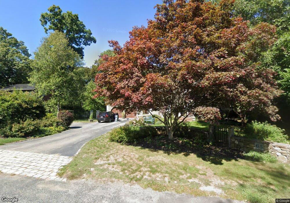
65 Townsend Rd Scituate, MA 02066
Estimated Value: $881,000 - $1,197,000
About This Home
This home is located at 65 Townsend Rd, Scituate, MA 02066 and is currently estimated at $1,091,381, approximately $442 per square foot. 65 Townsend Rd is a home located in Plymouth County with nearby schools including Hatherly Elementary School, Lester J. Gates Middle School, and Scituate High School.
Ownership History
We collect this data history from publicly available records. To have your information removed, we recommend requesting removal directly through your county’s website.
Purchase Details
Purchase Details
Home Values in the Area
Average Home Value in this Area
Purchase History
We collect this data history from publicly available records. To have your information removed, we recommend requesting removal directly through your county’s website.
| Date | Buyer | Sale Price | Title Company |
|---|---|---|---|
| -- | None Available | ||
| -- | None Available | ||
| -- | -- |
Mortgage History
We collect this data history from publicly available records. To have your information removed, we recommend requesting removal directly through your county’s website.
| Date | Status | Borrower | Loan Amount |
|---|---|---|---|
| Previous Owner | $250,000 | ||
| Previous Owner | $137,000 | ||
| Previous Owner | $110,000 | ||
| Previous Owner | $121,000 |
Tax History
We collect this data history from publicly available records. To have your information removed, we recommend requesting removal directly through your county’s website.
| Year | Tax Paid | Tax Assessment Tax Assessment Total Assessment is a certain percentage of the fair market value that is determined by local assessors to be the total taxable value of land and additions on the property. | Land | Improvement |
|---|---|---|---|---|
| 2025 | $9,215 | $922,400 | $415,500 | $506,900 |
| 2024 | $9,063 | $874,800 | $377,700 | $497,100 |
| 2023 | $8,838 | $809,300 | $343,400 | $465,900 |
| 2022 | $8,838 | $700,300 | $309,600 | $390,700 |
| 2021 | $8,708 | $653,300 | $308,900 | $344,400 |
| 2020 | $8,500 | $629,600 | $297,000 | $332,600 |
| 2019 | $8,313 | $605,000 | $291,200 | $313,800 |
| 2018 | $7,939 | $569,100 | $287,000 | $282,100 |
| 2017 | $7,717 | $547,700 | $276,000 | $271,700 |
| 2016 | $7,432 | $525,600 | $253,900 | $271,700 |
| 2015 | $6,740 | $514,500 | $242,800 | $271,700 |
Map
- 11 Carriage House Way
- 105 Ann Vinal Rd
- 171 Lawson Rd
- 274 Gannett Rd
- 684 Country Way
- 694 Country Way
- 300 Gannett Rd
- 701 Country Way
- 81 Surfside Rd
- 485 Country Way
- 26 Mordecai Lincoln Rd
- 23 Acorn St
- 67 Border St
- 20 Garden Rd
- 799 Country Way
- 74 Branch St Unit 15
- 17 Alexander Place
- 817 Country Way
- 7 Baileys Causeway
- 392 S Main St
- 60 Townsend Rd
- 54 Townsend Rd
- 64 Townsend Rd
- 16 Carriage House Way Unit LOT 7
- 59 Townsend Rd
- 70 Townsend Rd
- 15 Carriage House Way Unit LOT 8
- 107 Sedgewick Dr
- 113 Sedgewick Dr
- 101 Sedgewick Dr
- 117 Sedgewick Dr
- 13 Carriage House Way
- 74 Townsend Rd
- 11 Carriage House Way Unit LOT 10
- 75 Townsend Rd
- 114 Sedgewick Dr
- 121 Sedgewick Dr
- 80 Townsend Rd
- 9 Carriage House Way Unit LOT 11
- 14 Carriage House Way Unit LOT 6
Ask me questions while you tour the home.