65 Tranquility Dr Louisburg, NC 27549
Estimated Value: $231,000 - $356,327
4
Beds
2
Baths
1,738
Sq Ft
$181/Sq Ft
Est. Value
About This Home
This home is located at 65 Tranquility Dr, Louisburg, NC 27549 and is currently estimated at $315,332, approximately $181 per square foot. 65 Tranquility Dr is a home located in Franklin County with nearby schools including Edward Best Elementary School, Terrell Lane Middle School, and Louisburg High School.
Ownership History
Date
Name
Owned For
Owner Type
Purchase Details
Closed on
Nov 11, 2020
Sold by
Jacobs Geraldine and Pullen Jeannette
Bought by
Scott Brian
Current Estimated Value
Purchase Details
Closed on
Jan 13, 2014
Sold by
Williams Lois W
Bought by
Jacobs Geraldine and Pullen Jeannette
Purchase Details
Closed on
Sep 29, 2011
Sold by
Williams Lois W
Bought by
Jacobs Geraldine and Taylor Roderic
Purchase Details
Closed on
May 15, 1995
Bought by
Taylor Lois W and Taylor Roderic
Create a Home Valuation Report for This Property
The Home Valuation Report is an in-depth analysis detailing your home's value as well as a comparison with similar homes in the area
Home Values in the Area
Average Home Value in this Area
Purchase History
| Date | Buyer | Sale Price | Title Company |
|---|---|---|---|
| Scott Brian | $82,000 | None Available | |
| Jacobs Geraldine | -- | None Available | |
| Jacobs Geraldine | -- | None Available | |
| Taylor Lois W | $27,500 | -- |
Source: Public Records
Tax History Compared to Growth
Tax History
| Year | Tax Paid | Tax Assessment Tax Assessment Total Assessment is a certain percentage of the fair market value that is determined by local assessors to be the total taxable value of land and additions on the property. | Land | Improvement |
|---|---|---|---|---|
| 2025 | $1,975 | $298,450 | $52,880 | $245,570 |
| 2024 | $1,677 | $268,320 | $52,880 | $215,440 |
| 2023 | $1,024 | $113,100 | $16,860 | $96,240 |
| 2022 | $699 | $78,950 | $16,860 | $62,090 |
| 2021 | $697 | $78,950 | $16,860 | $62,090 |
| 2020 | $1,339 | $139,470 | $16,860 | $122,610 |
| 2019 | $1,430 | $153,010 | $30,400 | $122,610 |
| 2018 | $1,425 | $153,010 | $30,400 | $122,610 |
| 2017 | $1,441 | $141,000 | $26,920 | $114,080 |
| 2016 | $1,490 | $141,000 | $26,920 | $114,080 |
| 2015 | $1,490 | $141,000 | $26,920 | $114,080 |
| 2014 | $1,517 | $154,290 | $40,210 | $114,080 |
Source: Public Records
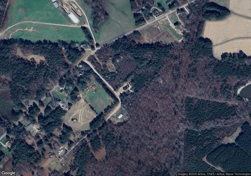
Map
Nearby Homes
- 2329 N Carolina 561
- 592 Perdues Rd
- 376 T K Allen Rd
- 45 Leisure Ln
- 55 Leisure Ln
- 70 Leisure Ln
- 08 Tillery Dr
- 06 Tillery Dr
- Cypress Springs Dr
- 09 Tillery Dr
- 11 Tillery Dr
- 0 Cypress Creek Dr
- 0 Shortleaf Dr Unit 10119597
- 109 Drew St
- 491 Nc 56 Hwy E
- 15 Gina Lee Terrace
- 150 Alston Pruitt Rd
- 7.69 Acres N Carolina 561
- 23.20 Acre N Carolina 561
- 10.26 Acre N Carolina 561
- 65 Tranquility Ln
- 45 Seclusion Dr
- 2012 Ronald Tharrington Rd
- 0 Seclusion Dr Unit TR2324372
- 0 Seclusion Dr Unit TR2366995
- 0 Seclusion Dr Unit 2403808
- 0 Seclusion Dr
- 2116 Ronald Tharrington Rd
- 1992 Ronald Tharrington Rd
- 1980 Ronald Tharrington Rd
- 2045 Ronald Tharrington Rd
- 1970 Ronald Tharrington Rd
- 1942 Ronald Tharrington Rd
- 2160 Ronald Tharrington Rd
- 1935 Ronald Tharrington Rd
- 1914 Ronald Tharrington Rd
- 1931 Ronald Tharrington Rd
- 1884 Ronald Tharrington Rd
- 2217 Ronald Tharrington Rd
- 2217 Ronald Tharrington Rd