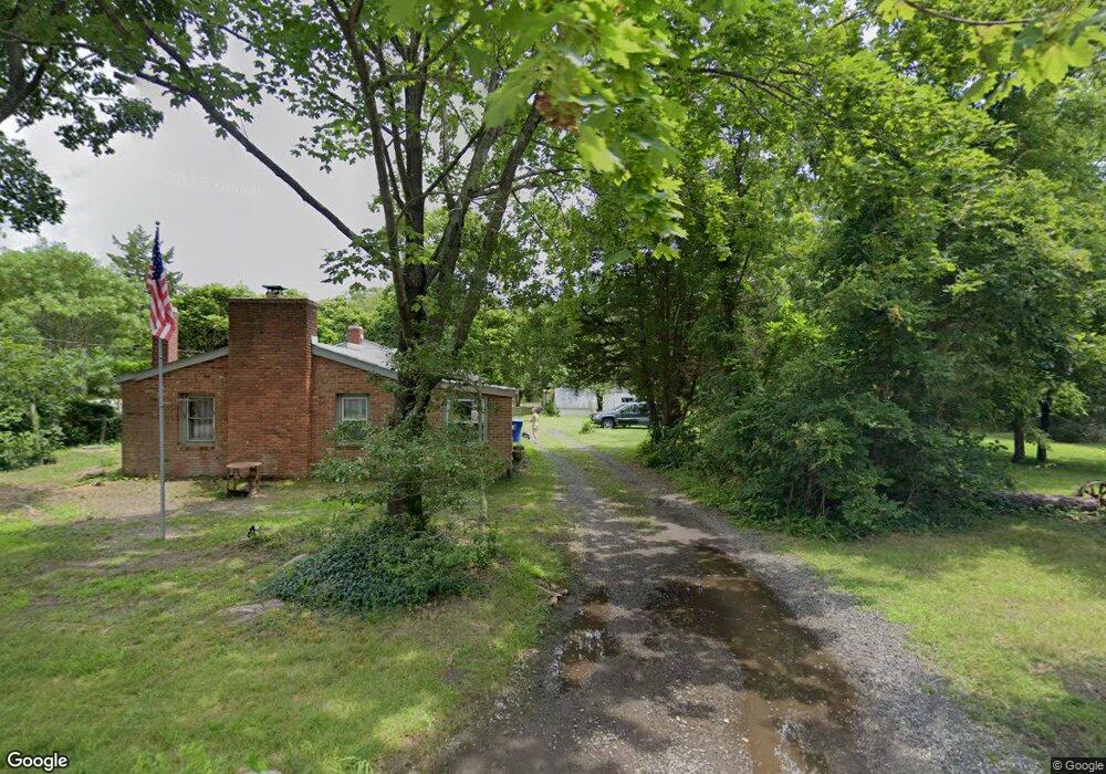
65 Turtle Creek Rd Egg Harbor City, NJ 08215
Estimated Value: $145,000 - $466,000
--
Bed
--
Bath
1,612
Sq Ft
$175/Sq Ft
Est. Value
About This Home
This home is located at 65 Turtle Creek Rd, Egg Harbor City, NJ 08215 and is currently estimated at $282,644, approximately $175 per square foot. 65 Turtle Creek Rd is a home located in Burlington County.
Ownership History
Date
Name
Owned For
Owner Type
Purchase Details
Closed on
Apr 2, 2017
Sold by
Sherwood Jennifer L and Sherwood Edward H B
Bought by
Sherwood Edward H
Current Estimated Value
Purchase Details
Closed on
Dec 2, 2016
Sold by
Seu Peter
Bought by
Sherwood Edward H
Purchase Details
Closed on
Oct 12, 2007
Sold by
Sherwood Edward H
Bought by
Sherwood Jennifer L and Sherwood Edward H B
Purchase Details
Closed on
Oct 1, 1974
Bought by
Sherwood Edward
Create a Home Valuation Report for This Property
The Home Valuation Report is an in-depth analysis detailing your home's value as well as a comparison with similar homes in the area
Home Values in the Area
Average Home Value in this Area
Purchase History
| Date | Buyer | Sale Price | Title Company |
|---|---|---|---|
| Sherwood Edward H | -- | None Available | |
| Sherwood Edward H | $35,000 | None Available | |
| Sherwood Jennifer L | $60,000 | None Available | |
| Sherwood Edward | $1,400,000 | -- |
Source: Public Records
Tax History Compared to Growth
Tax History
| Year | Tax Paid | Tax Assessment Tax Assessment Total Assessment is a certain percentage of the fair market value that is determined by local assessors to be the total taxable value of land and additions on the property. | Land | Improvement |
|---|---|---|---|---|
| 2025 | $2,851 | $136,500 | $72,200 | $64,300 |
| 2024 | $2,269 | $136,500 | $72,200 | $64,300 |
| 2023 | $2,269 | $136,500 | $72,200 | $64,300 |
| 2022 | $1,746 | $136,500 | $72,200 | $64,300 |
| 2021 | $1,769 | $136,500 | $72,200 | $64,300 |
| 2020 | $1,736 | $136,500 | $72,200 | $64,300 |
| 2019 | $1,708 | $136,500 | $72,200 | $64,300 |
| 2018 | $2,005 | $136,500 | $72,200 | $64,300 |
| 2017 | $2,292 | $136,500 | $72,200 | $64,300 |
| 2016 | $2,374 | $136,500 | $72,200 | $64,300 |
| 2015 | $2,250 | $136,500 | $72,200 | $64,300 |
| 2014 | $2,060 | $136,500 | $72,200 | $64,300 |
Source: Public Records
Map
Nearby Homes
- 1868 Route 542
- 13 Henderson Ave
- 13 Charles Ave
- 2100 River Rd
- 10 Hillside Ave
- 5573 Route 9
- 2043 Route 542
- 1424 Route 542
- 3 Amasa Landing Rd
- 15 Oak Ln
- 14 Teaberry Ln
- 138 N Maple Ave
- 265 N Cologne Ave
- 275 N Mannheim Ave
- 511 Chestnut Neck Rd
- 0 Route 9 Unit NJOC2025980
- 333 Cologne Port Rd
- 332 Cologne Port Rd
- 225 Chestnut Neck Rd
- 254 W Cologne Port Republic Rd