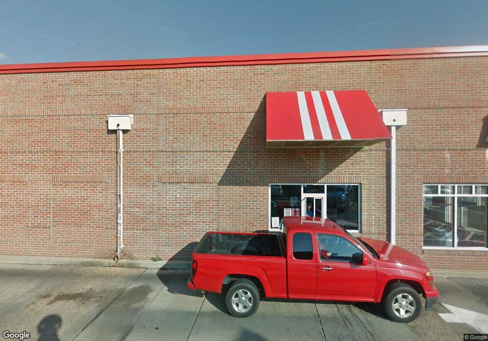
65 W Dares Beach Rd Prince Frederick, MD 20678
Estimated Value: $2,720,970
--
Bed
--
Bath
2,200
Sq Ft
$1,237/Sq Ft
Est. Value
About This Home
This home is located at 65 W Dares Beach Rd, Prince Frederick, MD 20678 and is currently estimated at $2,720,970, approximately $1,236 per square foot. 65 W Dares Beach Rd is a home located in Calvert County with nearby schools including Barstow Elementary School, Calvert Middle School, and Calvert High School.
Ownership History
Date
Name
Owned For
Owner Type
Purchase Details
Closed on
Dec 10, 2020
Sold by
Amsran Retail Llc
Bought by
Jennifer J Group Llc
Current Estimated Value
Purchase Details
Closed on
Jun 1, 2016
Sold by
Dares Beach Llc
Bought by
Amsran Retail Llc
Purchase Details
Closed on
Apr 28, 2014
Sold by
Star Kfc Realco Two Llc
Bought by
Dares Beach Llc
Purchase Details
Closed on
Sep 15, 1999
Sold by
Mc Donald'S Corp
Bought by
Kazi Family Llc
Purchase Details
Closed on
May 19, 1999
Sold by
Ffca Acquistion Corp
Bought by
Mc Donald'S Corp
Purchase Details
Closed on
Apr 25, 1995
Sold by
United Restaurnt Ptn
Bought by
Ffca Acquisition Cp
Create a Home Valuation Report for This Property
The Home Valuation Report is an in-depth analysis detailing your home's value as well as a comparison with similar homes in the area
Home Values in the Area
Average Home Value in this Area
Purchase History
| Date | Buyer | Sale Price | Title Company |
|---|---|---|---|
| Jennifer J Group Llc | $2,061,000 | Cardinal Title & Setmnt Llc | |
| Amsran Retail Llc | $1,882,500 | First American Title Ins Co | |
| Dares Beach Llc | $1,700,000 | First American Title Ins Co | |
| Kazi Family Llc | $325,000 | -- | |
| Mc Donald'S Corp | $261,000 | -- | |
| Ffca Acquisition Cp | $380,000 | -- |
Source: Public Records
Tax History Compared to Growth
Tax History
| Year | Tax Paid | Tax Assessment Tax Assessment Total Assessment is a certain percentage of the fair market value that is determined by local assessors to be the total taxable value of land and additions on the property. | Land | Improvement |
|---|---|---|---|---|
| 2025 | $22,348 | $2,114,000 | $0 | $0 |
| 2024 | $22,348 | $2,056,600 | $600,000 | $1,456,600 |
| 2023 | $20,702 | $1,977,667 | $0 | $0 |
| 2022 | $19,879 | $1,898,733 | $0 | $0 |
| 2021 | $39,758 | $1,819,800 | $600,000 | $1,219,800 |
| 2020 | $17,446 | $1,657,200 | $0 | $0 |
| 2019 | $15,678 | $1,494,600 | $0 | $0 |
| 2018 | $13,973 | $1,332,000 | $600,000 | $732,000 |
| 2017 | $10,131 | $1,136,300 | $0 | $0 |
| 2016 | -- | $940,600 | $0 | $0 |
| 2015 | $7,089 | $744,900 | $0 | $0 |
| 2014 | $7,089 | $730,067 | $0 | $0 |
Source: Public Records
Map
Nearby Homes
- 185 Radio Dr
- 84 Potomac Ct
- The Benedict A Plan at Patuxent Commons
- The Benedict B2 Plan at Patuxent Commons
- The Benedict C Plan at Patuxent Commons
- 0 Armory Rd
- 379 Cambridge Place
- 362 Cambridge Place
- 592 Burr Oak Ct
- 579 English Oak Ln
- 49 Thoroughbred Dr
- 125 Polo Way
- 365 Equestrian Way
- 512 Falcon Place
- 447 Dark Star Way
- 85 Mason Rd
- 103 Westlake Blvd
- 360 Whirlaway Dr
- 667 Hawk Hill Dr
- 240 Mason Rd
- 45 W Dares Beach Rd
- 135 W Dares Beach Rd
- 135 W Dares Beach Rd Unit 109C
- 135 W Dares Beach Rd Unit 203
- 135 W Dares Beach Rd Unit 109 A
- 135 W Dares Beach Rd Unit 109B
- 135 W Dares Beach Rd Unit 207
- 135 W Dares Beach Rd Unit 202
- 135 W Dares Beach Rd Unit 101
- 135 W Dares Beach Rd Unit 210
- 135 W Dares Beach Rd Unit 209A
- 105 W Dares Beach Rd Unit 109
- 404 Solomons Island Rd N
- 400 Solomons Island Rd N
- 410 Solomons Island Rd N
- 165 Radio Dr
- 155 W Dares Beach Rd
- 235 Sullivan Ln
- 350 Solomons Island Rd N
- 185 Radio Rd